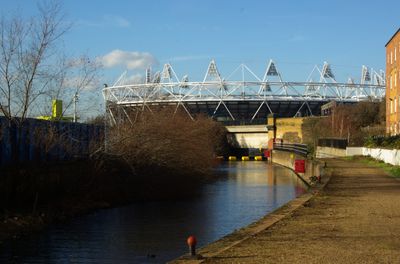
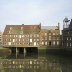
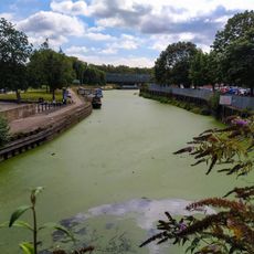
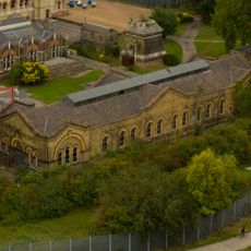
City Mill River, Navigation lock in London Borough of Newham, England
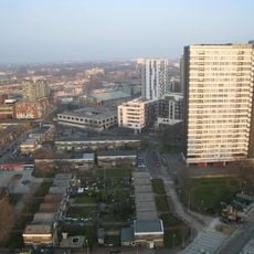
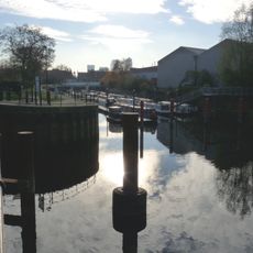
City Mill River is a lock on the Lee Navigation system that controls water flow using steel gates and manages the difference between water levels. The structure sits within the river valley and links different sections of this waterway running through East London.
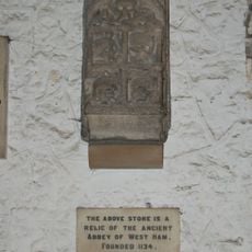
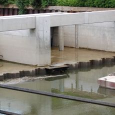
An original mill once operated here for chemical production until the 1930s, when it was removed during major river improvements. The lock as it exists today emerged as part of these infrastructure changes along the waterway.
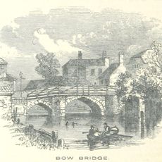
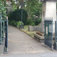
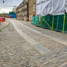
The lock represents East London's industrial heritage, showing how the waterways shifted from commercial use to recreational activity. Visitors can walk along the banks and experience how this place quietly bridges its past and present.
Boats need advance permission from the Canal and River Trust to pass through, and long-term mooring is not permitted at the site. It helps to check current access conditions and contact the operators beforehand.
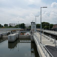
The lock underwent complete restoration in 2012 to prepare for the Olympic Games and address problems with invasive water plants. This work improved both how it functions and how the whole site appears today.
Location: London Borough of Newham
GPS coordinates: 51.53330,-0.00915
Latest update: December 14, 2025 11:24
ArcelorMittal Orbit
631 m
London Aquatics Centre
722 m
Abbey Mills Pumping Station
644 m
Bow Church
742 m
150 High Street, Stratford
248 m
Carpenters Estate
673 m
Stratford Langthorne Abbey
633 m
House Mill
662 m
Bow Bridge
506 m
Three Mills Residential Moorings
454 m
Three Mills Lock
601 m
Three Mills Wall River Weir
597 m
Grove Hall Park
732 m
Christ Church
309 m
Bob's Park
794 m
House Mill
660 m
Iron Railings, Gates And Gate Piers To Churchyard Of St Mary's Church
683 m
Monument To Joseph Dawson In The Churchyard Of St Mary Bow
804 m
Bryant and May War Memorial
734 m
Clock Mill
695 m
How Memorial Gateway
626 m
Parish Boundary Marker Between Numbers 231 And 233
342 m
Gates And Gatepiers At Entrance To Abbey Mills Pumping Station
462 m
223, Bow Road E3
649 m
199, Bow Road E3
720 m
Paved Roadway Extending From West Side Of House Mill To Wall And Gate On East Side Of Clock Mill
675 m
B Station At Abbey Mills Pumping Station
630 m
C Station, With Associated Valve House, Abbey Mills Pumping Station
684 mVisited this place? Tap the stars to rate it and share your experience / photos with the community! Try now! You can cancel it anytime.
Discover hidden gems everywhere you go!
From secret cafés to breathtaking viewpoints, skip the crowded tourist spots and find places that match your style. Our app makes it easy with voice search, smart filtering, route optimization, and insider tips from travelers worldwide. Download now for the complete mobile experience.
A unique approach to discovering new places❞
— Le Figaro
All the places worth exploring❞
— France Info
A tailor-made excursion in just a few clicks❞
— 20 Minutes