Enable Location

We need your location to show you interesting places around you

Discover nearby places

Find interesting locations and hidden gems around you

Precise directions

Get accurate directions and distances to places

Your location is never shared with other users. It's only used when you tap the location button.

Moel y Cerrig Duon

Log in to your account

Start exploring — it's free

Trusted by 62,842 travelers worldwide

Continue with Google
Continue with Apple
or

We will send you a code to connect

By continuing, you accept our Terms and Conditions and our Privacy Policy

Check your inbox

We've sent a pincode in your inbox. Please enter the code below.

Moel y Cerrig Duon

Moel y Cerrig Duon, Mountain summit in Gwynedd, United Kingdom

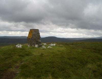
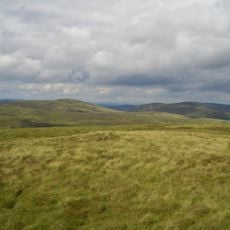
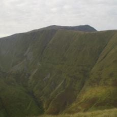
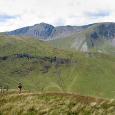
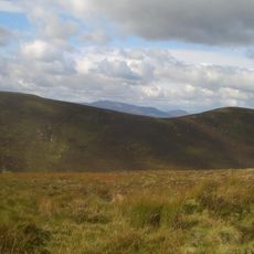
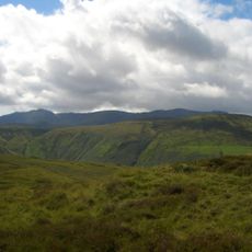
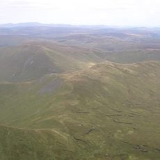
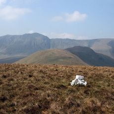
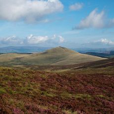
Moel y Cerrig Duon is a mountain summit in the Aran Fawddwy range standing at 625 meters with a grassy top and small cairn marker. The peak overlooks surrounding mountain terrain and connects to nearby ridges that form part of this larger upland system.

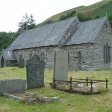
The mountain was part of administrative areas that reorganized over time as North Wales adjusted its territorial divisions. These boundary changes shaped how the land was managed and used by communities living in the surrounding valleys below.

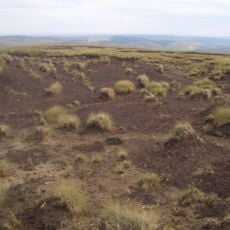
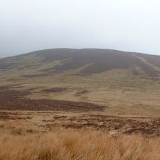
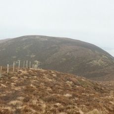
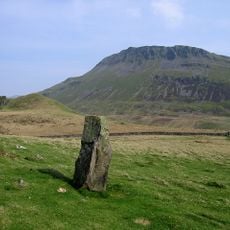
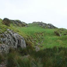
The name comes from Welsh and means 'bare hill of the black rocks', showing how local people named landmarks based on what they saw. Dark stone formations on the summit explain this description clearly.

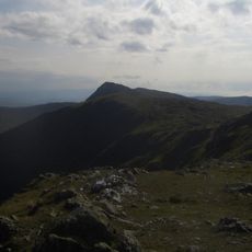
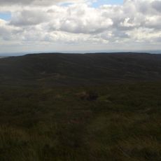
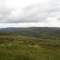
Hikers can reach the summit via several routes starting from different trailheads, though navigation skills matter since conditions change quickly in the mountains. Sturdy footwear and protective clothing are helpful because the peak area is open and exposed to wind and weather.

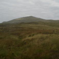
A nearby subsidiary peak called Foel y Groes sits at a remarkable geographical junction where three major river watersheds divide. This point marks where water naturally flows toward three different river systems: the Dee, Severn, and Dyfi.

The community of curious travelers

AroundUs brings together thousands of curated places, local tips, and hidden gems, enriched daily by 60,000 contributors worldwide.

Start exploring
Location
Elevation above the sea
625 m
Part of
Aran Fawddwy
GPS coordinates
52.80411,-3.59829
Latest update
December 14, 2025 20:30
« Moel y Cerrig Duon - Mountain summit in Gwynedd, United Kingdom » is provided by Around Us (aroundus.com). Images and texts are derived from Wikimedia project under a Creative Commons license. You are allowed to copy, distribute, and modify copies of this page, under the conditions set by the license, as long as this note is clearly visible.

Discover hidden gems everywhere you go!

From secret cafés to breathtaking viewpoints, skip the crowded tourist spots and find places that match your style. Our app makes it easy with voice search, smart filtering, route optimization, and insider tips from travelers worldwide. Download now for the complete mobile experience.

Around Us App Screenshot

A unique approach to discovering new places

Le Figaro

All the places worth exploring

France Info

A tailor-made excursion in just a few clicks

20 Minutes

Around Us
Travel Guide & Maps
Download

Send to your phone

QR Code
1

Open the camera app on your mobile.

2

Point at the QR code with your camera. A notification will appear.

3

Tap the notification to open the link.