Pen yr Allt Uchaf

Log in to your account

AroundUs is a community-driven map of interesting places, built by curious explorers like you. It grows with every review, story, and photo you share.
Connect to save your favorite spots, contribute locations, and create personalized routes.
Continue with Google
Continue with Apple
Continue with X
Continue with Facebook
Continue with email
By continuing, you accept our Terms and Conditions and our Privacy Policy
Create an account

Pen yr Allt Uchaf

Add to collection
Map
Suggest a change
Share

Pen yr Allt Uchaf, Mountain summit in Gwynedd, United Kingdom

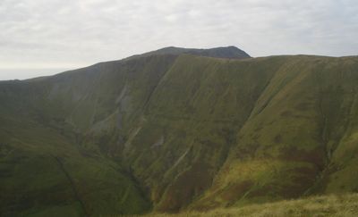
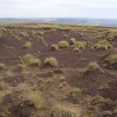
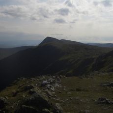
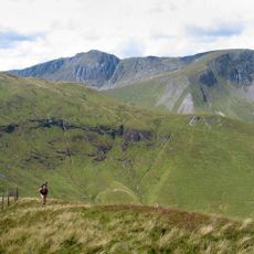
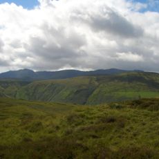
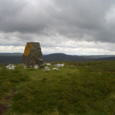
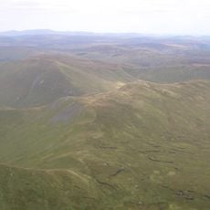
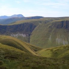
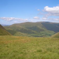
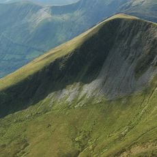
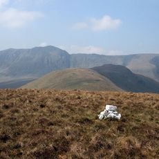
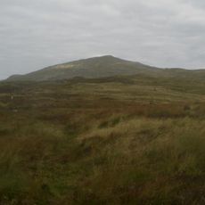
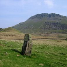
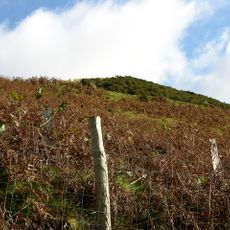
Pen yr Allt Uchaf is a mountain summit in Gwynedd that rises to about 620 meters and features a flat peak area marked by stones and fence posts. From the top, you can see across the Cwm Cywarch valley and the surrounding Welsh hills.

The summit received its Welsh name meaning 'top of the highest slope' during the historical mapping of peaks in Snowdonia. Its classification within British mountain systems reflects the ongoing documentation and surveying of hills in the region.

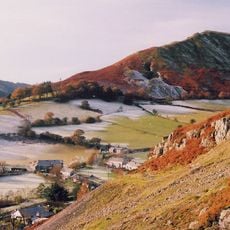
The summit attracts local walkers and visitors who use it as a landmark in the Cwm Cywarch valley area. Its Welsh name reflects the region's language and heritage embedded in the landscape.

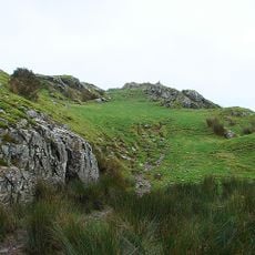
You can reach the summit using established paths from nearby parking areas, with access typically available in dry conditions. Good footwear and a map or GPS device help with navigation in this exposed upland terrain.

Mountaineers and surveyors use this summit to gather elevation data for British hill classification systems like the Hewitt and Nuttall lists. The cairn and marker posts serve as important reference points for these recording efforts.

Location: Gwynedd

Elevation above the sea: 620 m

GPS coordinates: 52.76272,-3.67467

Latest update: December 14, 2025 20:03

Photos
Reviews

Visited this place? Tap the stars to rate it and share your experience / photos with the community! Try now! You can cancel it anytime.

« Pen yr Allt Uchaf - Mountain summit in Gwynedd, United Kingdom » is provided by Around Us (aroundus.com). Images and texts are derived from Wikimedia project under a Creative Commons license. You are allowed to copy, distribute, and modify copies of this page, under the conditions set by the license, as long as this note is clearly visible.

Discover hidden gems everywhere you go!

From secret cafés to breathtaking viewpoints, skip the crowded tourist spots and find places that match your style. Our app makes it easy with voice search, smart filtering, route optimization, and insider tips from travelers worldwide. Download now for the complete mobile experience.

Around Us App Screenshot

A unique approach to discovering new places

Le Figaro

All the places worth exploring

France Info

A tailor-made excursion in just a few clicks

20 Minutes