Maesglase, Mountain summit in Cadair Idris, Wales, United Kingdom.
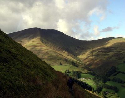
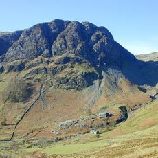
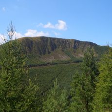
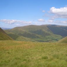
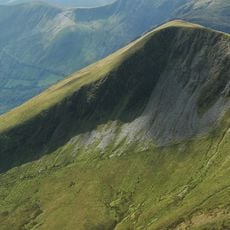
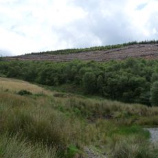
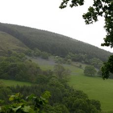
Maesglase rises to 678.5 meters above sea level as a rocky summit within the Cadair Idris mountain range, featuring steep slopes, glacial erosion patterns, and Ordovician volcanic rock formations that create challenging terrain for experienced hikers and mountaineers.
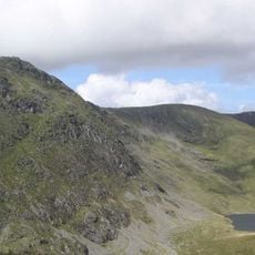
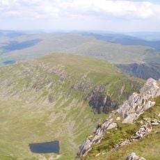
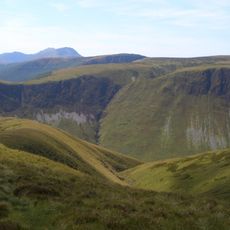
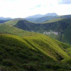
The summit has been shaped by ancient volcanic activity during the Ordovician period and subsequent glacial erosion during ice ages, leaving behind distinctive geological features including cwms, moraines, and striated rock surfaces that tell the story of millions of years of natural processes.
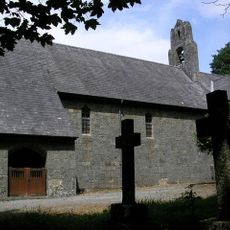
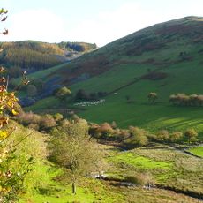
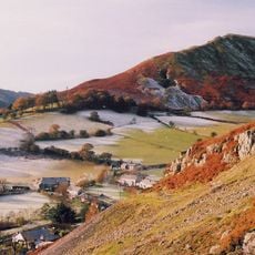
Maesglase forms part of Welsh mountaineering heritage and folklore traditions associated with Cadair Idris, where local legends speak of giants, mystical beings, and the belief that sleeping on these slopes could inspire poets or drive individuals to madness according to ancient Welsh storytelling.
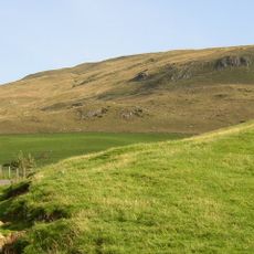
Hikers can access Maesglase using Ordnance Survey Landranger Maps 124 and 125 or Explorer Map OL23E, with routes requiring proper mountaineering equipment and experience due to unmarked trail sections, rough terrain, and variable weather conditions common in Snowdonia National Park.
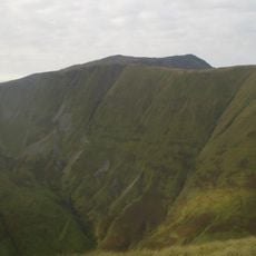
The summit features a small flattened cairn located precisely at its highest point, serving as a distinctive navigational marker that stands 3 meters north of a stile and provides hikers with a clear indication they have reached the true peak of this challenging Welsh mountain.
The community of curious travelers
AroundUs brings together thousands of curated places, local tips, and hidden gems, enriched daily by 60,000 contributors worldwide.