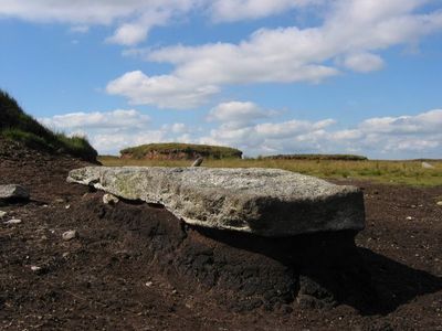
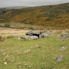
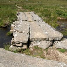
Cut Hill Stone Row, Prehistoric stone alignment in Dartmoor Forest, England.
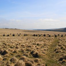
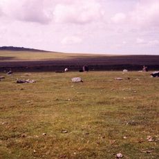
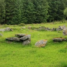
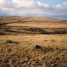
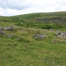
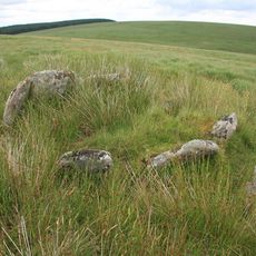
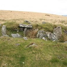
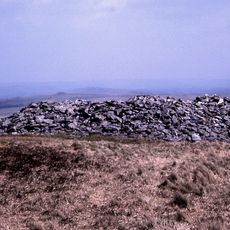
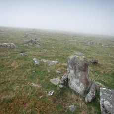
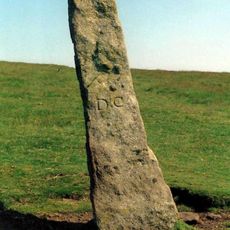
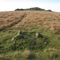
Cut Hill Stone Row is a prehistoric stone alignment made of nine large granite blocks arranged in a straight line across the hilltop. The stones stretch for about 215 meters and sit on Dartmoor moorland, where they stand among the heather and grass.
The construction of the stone row dates to around 3620 BC based on carbon dating of material found beneath one of the stones. It ranks among the oldest known stone arrangements in Britain.
The alignment shows how prehistoric people shaped the land for ritual purposes and worked together to move massive stones across the terrain. This collective effort reveals a shared understanding of space and possibly spiritual meaning that remains visible in the landscape today.
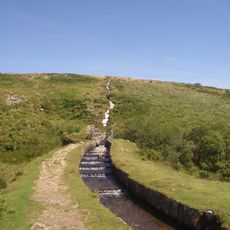
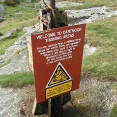
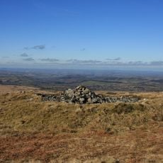
The site sits within an active military training area, so you should check firing schedules beforehand to ensure safe access. The ground is rough and exposed to the elements, making sturdy footwear and weather protection necessary.
This is the only stone row in Britain with a scientifically confirmed age, making it a rare window into ancient times. This documented timeframe helps archaeologists better understand other older sites.
The community of curious travelers
AroundUs brings together thousands of curated places, local tips, and hidden gems, enriched daily by 60,000 contributors worldwide.