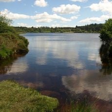
Cranmere Pool, Depression lake in Dartmoor National Park, England.
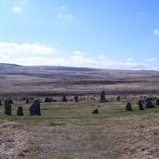
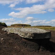
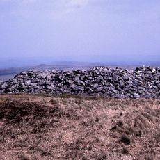
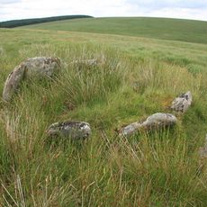
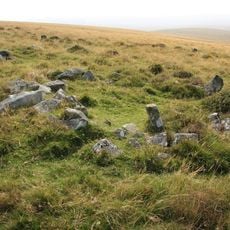
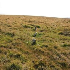
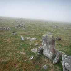
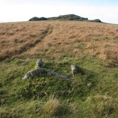
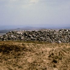
Cranmere Pool is a small peat bog depression located in northern Dartmoor at more than 500 meters elevation on the western slopes of Hangingstone Hill. The site sits within open moorland terrain with sparse vegetation typical of high moorland areas.
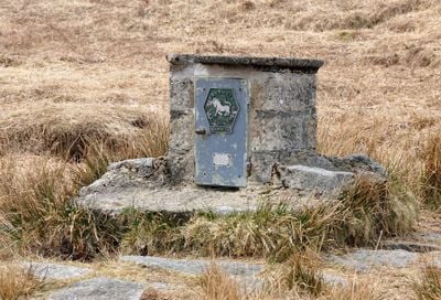
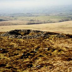
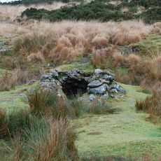
James Perrott established the first letterbox at the site in 1854 by placing a bottle with visitor cards inside a constructed cairn. This location became the birthplace of what later became a widespread visitor tradition of letterbox collecting across Dartmoor.
Benjamin Gayer's ghost legend tells of a mayor who attempted to empty the pool with a sieve as punishment for sheep theft.
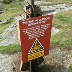
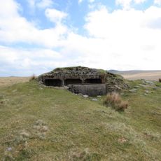
Reaching the site requires a hike of about 5 kilometers from the nearest road access, starting along a military road before crossing open moorland terrain. Navigation across open moor can be difficult in poor visibility, so bringing maps or GPS equipment is advisable.
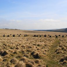
The pool held water permanently until the early 20th century but has become intermittent since then. Today water only accumulates after heavy rainfall periods, making it dry for much of the year.
The community of curious travelers
AroundUs brings together thousands of curated places, local tips, and hidden gems, enriched daily by 60,000 contributors worldwide.