
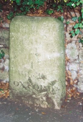
Stone On The South Side Of Headington Road 50 Yards East Of Hilltop
Stone On The South Side Of Headington Road 50 Yards East Of Hilltop, building in Oxford, Oxfordshire, UK
Location: Oxford
Inception: 18 century
GPS coordinates: 51.75528,-1.22711
Latest update: March 30, 2025 16:59
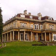
Headington Hill Hall
278 m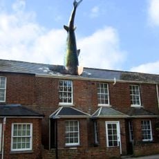
Headington Shark
1 km
O2 Academy Oxford
1.1 km
Mesopotamia
1 km
South Park
512 m
Ultimate Picture Palace
1.1 km
The Oxford Artisan Distillery
402 m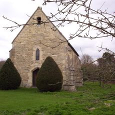
St Bartholomew's Chapel, Oxford
1.1 km
St Clement's Church, Oxford
775 m
Headington Hill Park
442 m
Angel & Greyhound Meadow, Oxford
1.1 km
The Vines, Oxford
470 m
Cotuit Hall
559 m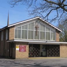
St Anthony of Padua, Oxford
968 m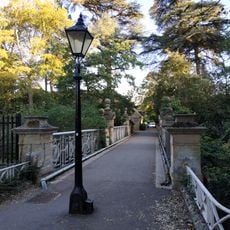
Bridge Over Headington Road At Headington Hill Hall
213 m
The Warneford Hospital Chapel
542 m
The Britannia Public House
993 m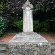
New Marston War Memorial
685 m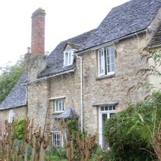
St Bartholomews Farmhouse
1.1 km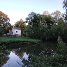
Kings Mill
788 m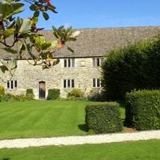
Bartlemas House
1.1 km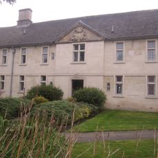
Stones Almshouses (8 Tenements)
1.1 km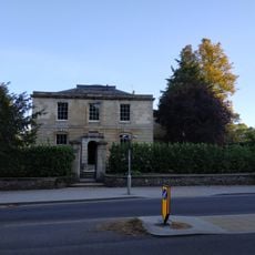
Hilltop
44 m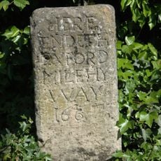
Stone In Warneford Lane Opposite The Entrance To The Warneford Hospital
502 m
St Clement's, Oxford War Memorial
735 m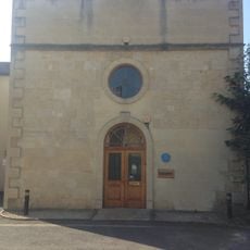
81, St Clements Street
1 km
Stone At The Junction Of Marston Road And The Footpath To Pullens Lane
578 m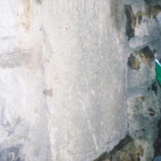
Stone On The North Side Of Headington Hill 20 Yards To The East Of The Bridge
173 mReviews
Visited this place? Tap the stars to rate it and share your experience / photos with the community! Try now! You can cancel it anytime.
Discover hidden gems everywhere you go!
From secret cafés to breathtaking viewpoints, skip the crowded tourist spots and find places that match your style. Our app makes it easy with voice search, smart filtering, route optimization, and insider tips from travelers worldwide. Download now for the complete mobile experience.

A unique approach to discovering new places❞
— Le Figaro
All the places worth exploring❞
— France Info
A tailor-made excursion in just a few clicks❞
— 20 Minutes