Enable Location

We need your location to show you interesting places around you

Discover nearby places

Find interesting locations and hidden gems around you

Precise directions

Get accurate directions and distances to places

Your location is never shared with other users. It's only used when you tap the location button.

Springfield

Log in to your account

Start exploring — it's free

Trusted by 62,818 travelers worldwide

Continue with Google
Continue with Apple
or

We will send you a code to connect

By continuing, you accept our Terms and Conditions and our Privacy Policy

Check your inbox

We've sent a pincode in your inbox. Please enter the code below.

Springfield, County seat in southwestern Ohio, United States

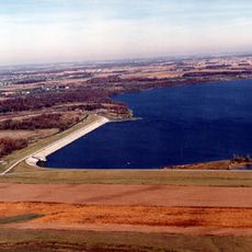
Springfield sits in southwestern Ohio where three waterways meet: Mad River, Buck Creek and Beaver Creek. The city spreads about 45 miles (72 kilometers) west of Columbus and 25 miles (40 kilometers) northeast of Dayton.

James Demint founded the settlement in 1801 and named it after his hometown in Kentucky. The place became the county seat in 1818 after competing with New Boston for that role.

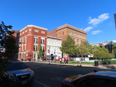
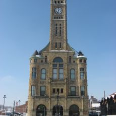
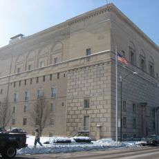
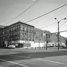
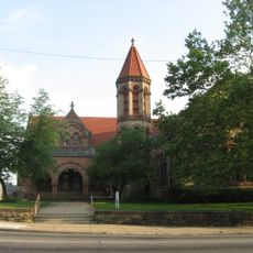
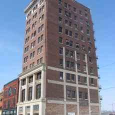
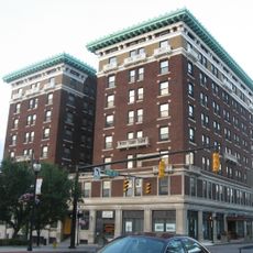
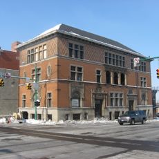
The name comes from Springfield in Massachusetts and was chosen by early settlers who moved here from New England. Today the streets show many buildings from the late 1800s that reflect the time when the city made farming equipment.

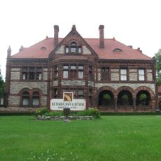
The Westcott House designed by Frank Lloyd Wright in 1908 offers guided tours and is the only prairie-style home by him in Ohio. Visitors should plan to walk through downtown since many buildings stand close together.

The nickname Champion City came from the manufacturing of farming machines, especially the Champion Farm Equipment brand. In 1902 A.B. Graham started the first Boys' and Girls' Agricultural Club here, which later became the national 4-H organization.

The community of curious travelers

AroundUs brings together thousands of curated places, local tips, and hidden gems, enriched daily by 60,000 contributors worldwide.

Start exploring
Location
Inception
1801
Elevation above the sea
298 m
Shares border with
Urbana
GPS coordinates
39.92694,-83.80417
Latest update
December 12, 2025 23:21
Around this place
Westcott House
United States of America

Westcott House

1.4 km
Buck Creek State Park
United States of America

Buck Creek State Park

8.4 km
East High Street Historic District
United States of America

East High Street Historic District

864 m
Third Presbyterian Church
United States of America

Third Presbyterian Church

660 m
Clark County Heritage Center
United States of America

Clark County Heritage Center

664 m
Clark County Courthouse
United States of America

Clark County Courthouse

6 m
Odd Fellows' Home for Orphans, Indigent and Aged
United States of America

Odd Fellows' Home for Orphans, Indigent and Aged

1.5 km
Masonic Temple
United States of America

Masonic Temple

880 m
South Fountain Avenue Historic District
United States of America

South Fountain Avenue Historic District

1.4 km
Arcade Hotel
United States of America

Arcade Hotel

702 m
Carleton Davidson Stadium
United States of America

Carleton Davidson Stadium

1.9 km
Daniel Hertzler House
United States of America

Daniel Hertzler House

9.3 km
Warder Public Library
United States of America

Warder Public Library

529 m
Tecumseh Building
United States of America

Tecumseh Building

743 m
Shawnee Hotel
United States of America

Shawnee Hotel

432 m
Lagonda Club Building
United States of America

Lagonda Club Building

538 m
Old Enon Road Stone Arch Culvert
United States of America

Old Enon Road Stone Arch Culvert

9.1 km
David Crabill House
United States of America

David Crabill House

6.1 km
United States of America

Springfield Museum of Art

756 m
United States of America

East High Street Historic District

559 m
Crabill Homestead
United States of America

Crabill Homestead

6.1 km
Wittenberg University Historic District
United States of America

Wittenberg University Historic District

1.1 km
United States of America

Rocky Lakes Golf Course

7.6 km
United States of America

Windy Knoll Golf Club

4.3 km
United States of America

Madonna of the Trail

662 m

Bayley Auditorium

1.4 km
United States of America

Chakeres Memorial Theatre

1.2 km
United States of America

Waterfall

8.9 km
Show the full map
« Springfield - County seat in southwestern Ohio, United States » is provided by Around Us (aroundus.com). Images and texts are derived from Wikimedia project under a Creative Commons license. You are allowed to copy, distribute, and modify copies of this page, under the conditions set by the license, as long as this note is clearly visible.

Discover hidden gems everywhere you go!

From secret cafés to breathtaking viewpoints, skip the crowded tourist spots and find places that match your style. Our app makes it easy with voice search, smart filtering, route optimization, and insider tips from travelers worldwide. Download now for the complete mobile experience.

Around Us App Screenshot

A unique approach to discovering new places

Le Figaro

All the places worth exploring

France Info

A tailor-made excursion in just a few clicks

20 Minutes

Around Us
Travel Guide & Maps
Download

Send to your phone

QR Code
1

Open the camera app on your mobile.

2

Point at the QR code with your camera. A notification will appear.

3

Tap the notification to open the link.