Crockett County

Log in to your account

AroundUs is a community-driven map of interesting places, built by curious explorers like you. It grows with every review, story, and photo you share.
Connect to save your favorite spots, contribute locations, and create personalized routes.
Continue with Google
Continue with Apple
Continue with X
Continue with Facebook
Continue with email
By continuing, you accept our Terms and Conditions and our Privacy Policy
Create an account
Add to collection
Map
Suggest a change
Share

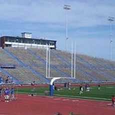
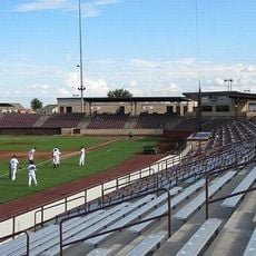
Crockett County, County seat in western Texas, United States.

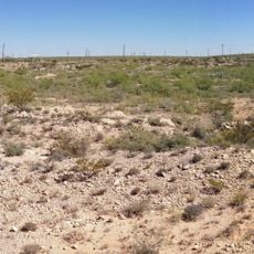
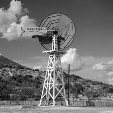
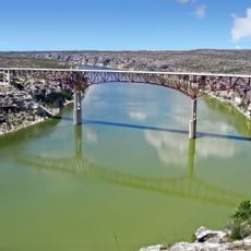
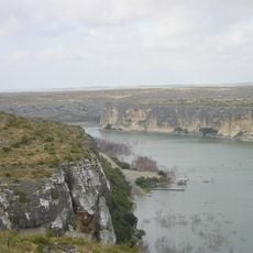
Crockett County is an administrative division in western Texas that stretches across semi-arid landscapes with broad rangelands. The Johnson Draw runs through the terrain and flows south toward the Devils River.

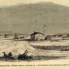
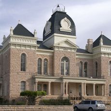
The area was established in 1875 and named after Davy Crockett, a defender of the Alamo. Human settlement began in 1891 at Powell Well, which was later renamed Ozona in 1897.

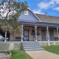
The Crockett County Museum displays regional history across three floors, including artifacts from Native American peoples and mammoth remains. These collections offer insight into how early settlers lived in this remote area.

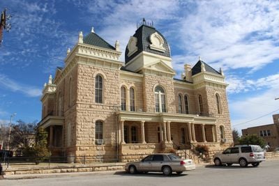
The seat of government, Ozona, connects to neighboring cities Sonora and Fort Stockton via Interstate 10. Texas State Highway 163 runs through the center and serves as a main route for visitors.

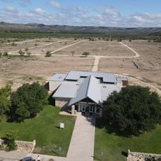
The Escondido Draw Recreational Area features marked trails for off-road vehicles across multiple difficulty levels. This recreation site attracts visitors seeking adventure in the dry landscape.

Location: Texas

Inception: January 22, 1875

Capital city: Ozona

Shares border with: Schleicher County, Reagan County, Upton County, Irion County, Sutton County, Val Verde County, Terrell County, Crane County, Pecos County

Website: http://co.crockett.tx.us

GPS coordinates: 30.73000,-101.41000

Latest update: December 7, 2025 19:28

Photos
Around this place
Odessa Meteor Crater
United States of America

Odessa Meteor Crater

153 km
Pecos River High Bridge
United States of America

Pecos River High Bridge

108.3 km
Seminole Canyon State Park and Historic Site
United States of America

Seminole Canyon State Park and Historic Site

116.9 km
Fort Lancaster
United States of America

Fort Lancaster

28.3 km
Rio Grande Wild and Scenic River
United States of America

Rio Grande Wild and Scenic River

152.6 km
San Angelo Stadium
United States of America

San Angelo Stadium

119.5 km
Foster Field
United States of America

Foster Field

120.3 km
Mile Canyon
United States of America

Mile Canyon

102.8 km
United States of America

Tunas Peak

89.2 km
Canon Ranch Railroad Eclipse Windmill
United States of America

Canon Ranch Railroad Eclipse Windmill

54.1 km
Junell Center
United States of America

Junell Center

120.2 km
Crockett County Courthouse
United States of America

Crockett County Courthouse

20.2 km
Houston Harte University Center
United States of America

Houston Harte University Center

119.9 km
Fort Stockton Historic District
United States of America

Fort Stockton Historic District

141.2 km
Glasscock County Courthouse
United States of America

Glasscock County Courthouse

126.4 km
Sutton County Courthouse
United States of America

Sutton County Courthouse

75.5 km
Old Irion County Courthouse
United States of America

Old Irion County Courthouse

84.8 km
Pecos River Bridge
United States of America

Pecos River Bridge

113.8 km
Fate Bell Shelter
United States of America

Fate Bell Shelter

115.1 km
Lower Pecos Canyonlands Archeological District
United States of America

Lower Pecos Canyonlands Archeological District

115.1 km
Seminole Canyon District
United States of America

Seminole Canyon District

115.1 km
Fort Lancaster State Historic Site
United States of America

Fort Lancaster State Historic Site

28.3 km
Annie Riggs Memorial Museum
United States of America

Annie Riggs Memorial Museum

141.5 km
Sterling County Courthouse
United States of America

Sterling County Courthouse

129.5 km
Princess Theater
United States of America

Princess Theater

115.1 km
Pecos River Boat Dock
United States of America

Pecos River Boat Dock

114.2 km
Chinati Foundation
United States of America

Chinati Foundation

50.3 km
Crockett County Jail
United States of America

Crockett County Jail

20.2 km
Show the full map
Reviews

Visited this place? Tap the stars to rate it and share your experience / photos with the community! Try now! You can cancel it anytime.

Administrative divisions
« Crockett County - County seat in western Texas, United States » is provided by Around Us (aroundus.com). Images and texts are derived from Wikimedia project under a Creative Commons license. You are allowed to copy, distribute, and modify copies of this page, under the conditions set by the license, as long as this note is clearly visible.

Discover hidden gems everywhere you go!

From secret cafés to breathtaking viewpoints, skip the crowded tourist spots and find places that match your style. Our app makes it easy with voice search, smart filtering, route optimization, and insider tips from travelers worldwide. Download now for the complete mobile experience.

Around Us App Screenshot

A unique approach to discovering new places

Le Figaro

All the places worth exploring

France Info

A tailor-made excursion in just a few clicks

20 Minutes