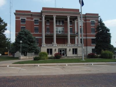
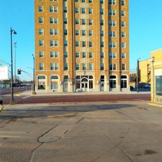
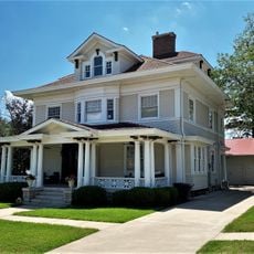
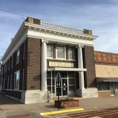
Pratt County, Administrative county in Kansas, United States
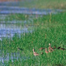
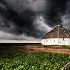
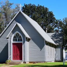
Pratt County is an administrative county in south-central Kansas covering prairie land where the Ninnescah River flows through the landscape. The area is organized into seven townships with agriculture as the primary land use.
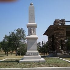
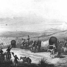
The county was established in 1867 and named after Caleb Pratt, a soldier who died during an 1861 battle in Missouri. This official designation marked the creation of an administrative unit in the prairie region.
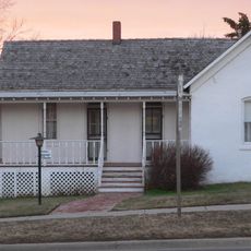
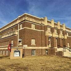
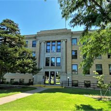
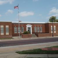
Educational institutions in Pratt County include Pratt Community College and multiple public school districts serving the local population of over 9,000 residents.
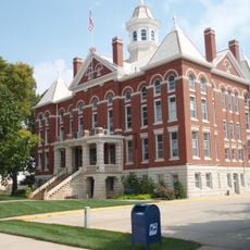
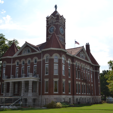
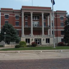
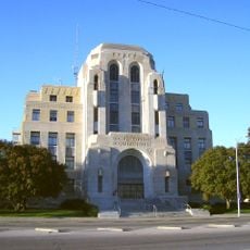
The county is accessible via U.S. Route 281, a major transportation corridor that crosses through the region. Pratt serves as the county seat and main reference point for navigation.
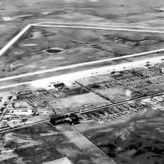
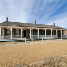
During World War II, Pratt Army Airfield served as a training center for B-29 bomber crews that participated in the Pacific campaign. This military installation left a lasting mark on the county's identity.
The community of curious travelers
AroundUs brings together thousands of curated places, local tips, and hidden gems, enriched daily by 60,000 contributors worldwide.