Trego County

Log in to your account

AroundUs is a community-driven map of interesting places, built by curious explorers like you. It grows with every review, story, and photo you share.
Connect to save your favorite spots, contribute locations, and create personalized routes.
Continue with Google
Continue with Apple
Continue with X
Continue with Facebook
Continue with email
By continuing, you accept our Terms and Conditions and our Privacy Policy
Create an account
Add to collection
Map
Suggest a change
Share

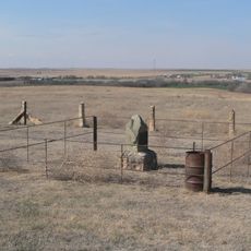
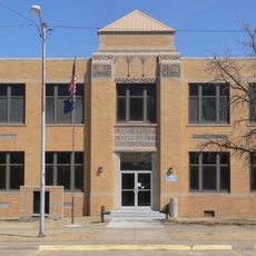
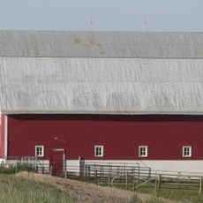
Trego County, County in western Kansas, United States

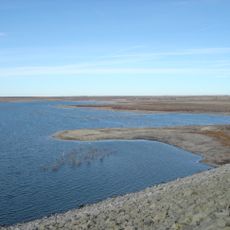
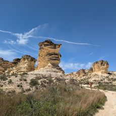
Trego County is an administrative area in western Kansas covering roughly 900 square miles of land. The landscape features gentle rolling plains with Cedar Bluff Reservoir providing water and recreational opportunity across the terrain.

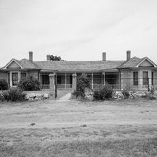
The area was officially established as a county in 1879 and named after Edgar Poe Trego, a pioneer who helped develop the region. Early settlement grew along railroad routes that brought economic activity and growth to the plains.

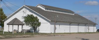
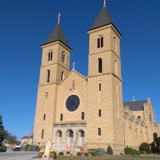
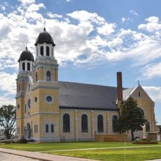
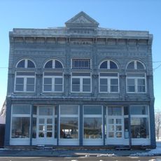
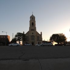
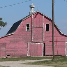
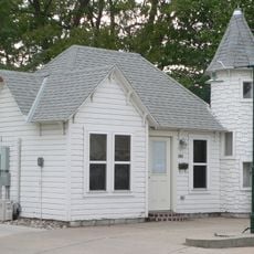
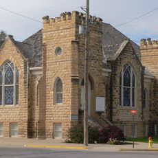
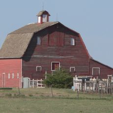
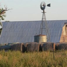
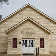
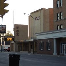
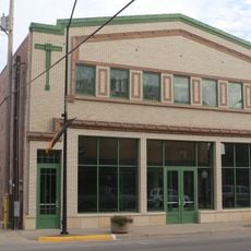
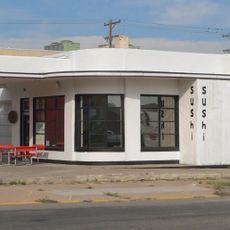
The county's character comes from small towns where residents gather at local events and farmers' markets throughout the year. Daily life follows the rhythm of agriculture and the seasons that shape the landscape.

Interstate 70 and U.S. Route 40 run through the county and connect it directly to larger Kansas cities. Most places are easily accessible by car, with roads in good condition for travelers.

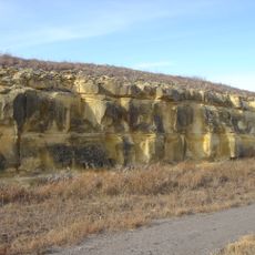
Many visitors overlook Cedar Bluff Reservoir, which offers fishing and wildlife viewing opportunities throughout the year. The water attracts waterfowl in summer and provides a striking contrast to the dry surroundings.

Location: Kansas

Inception: 1879

Capital city: WaKeeney

Shares border with: Graham County, Ness County, Rooks County, Ellis County, Gove County

Website: http://TregoCountyKS.com

GPS coordinates: 39.00833,-100.06500

Latest update: December 10, 2025 15:46

Photos
Around this place
Fort Hays
United States of America

Fort Hays

64.7 km
Basilica of St. Fidelis
United States of America

Basilica of St. Fidelis

80.9 km
Cedar Bluff Reservoir
United States of America

Cedar Bluff Reservoir

35 km
Cedar Bluff State Park
United States of America

Cedar Bluff State Park

36.4 km
Cottonwood Ranch
United States of America

Cottonwood Ranch

39.8 km
Kansas Barbed Wire Museum
United States of America

Kansas Barbed Wire Museum

84.7 km
Lewis Field
United States of America

Lewis Field

64.8 km
Sternberg Museum of Natural History
United States of America

Sternberg Museum of Natural History

67.6 km
St. Joseph Catholic Church
United States of America

St. Joseph Catholic Church

53.8 km
Grainfield Opera House
United States of America

Grainfield Opera House

36.6 km
St. Joseph's Church and Parochial School
United States of America

St. Joseph's Church and Parochial School

65.2 km
Rush County Courthouse
United States of America

Rush County Courthouse

84.4 km
George Washington Carver Homestead Site
United States of America

George Washington Carver Homestead Site

65.4 km
Lane County Community High School
United States of America

Lane County Community High School

68.1 km
Shafer Barn
United States of America

Shafer Barn

37.2 km
Ness County Bank
United States of America

Ness County Bank

63.2 km
Lipp Barn
United States of America

Lipp Barn

4.2 km
Justus Bissing Jr. Historic District
United States of America

Justus Bissing Jr. Historic District

64.8 km
Ellis Congregational Church
United States of America

Ellis Congregational Church

44.3 km
Oxley Barn
United States of America

Oxley Barn

15.7 km
Harry Keith Barn
United States of America

Harry Keith Barn

34.1 km
Collyer Downtown Historic District
United States of America

Collyer Downtown Historic District

5.7 km
Hays Aquatic Park
United States of America

Hays Aquatic Park

65.3 km
Nicodemus National Historic Site
United States of America

Nicodemus National Historic Site

57.7 km
Fox Pavilion
United States of America

Fox Pavilion

65.4 km
Strand Theatre
United States of America

Strand Theatre

65.4 km
Chestnut Street Historic District
United States of America

Chestnut Street Historic District

44.4 km
Castle Rock Badlands
United States of America

Castle Rock Badlands

19.1 km
Show the full map
Reviews

Visited this place? Tap the stars to rate it and share your experience / photos with the community! Try now! You can cancel it anytime.

Administrative divisions
« Trego County - County in western Kansas, United States » is provided by Around Us (aroundus.com). Images and texts are derived from Wikimedia project under a Creative Commons license. You are allowed to copy, distribute, and modify copies of this page, under the conditions set by the license, as long as this note is clearly visible.

Discover hidden gems everywhere you go!

From secret cafés to breathtaking viewpoints, skip the crowded tourist spots and find places that match your style. Our app makes it easy with voice search, smart filtering, route optimization, and insider tips from travelers worldwide. Download now for the complete mobile experience.

Around Us App Screenshot

A unique approach to discovering new places

Le Figaro

All the places worth exploring

France Info

A tailor-made excursion in just a few clicks

20 Minutes