
Montgomery County, County in Maryland, United States
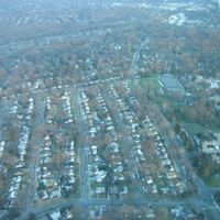
Montgomery County extends over 507 square miles of Piedmont plateau land between Frederick County, the Patuxent River, and the Potomac River.
The county was established on September 6, 1776, from Frederick County lands and named for Revolutionary War General Richard Montgomery from Ireland.
The county maintains 776 religious congregations representing multiple faiths, making it the most religiously diverse county in the United States.
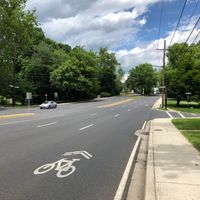
Montgomery County connects to Washington DC through an extensive network of highways, Ride On bus services, and three passenger rail systems.
The county functions as a center for biotechnology research in the Mid-Atlantic region, with numerous scientific facilities and research institutions.
Location: Maryland
Inception: September 6, 1776
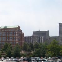
Capital city: Rockville
Shares border with: Frederick County, Howard County, Prince George's County, Loudoun County, Fairfax County, Washington, D.C., Arlington County, Northwest, Barnaby Woods
Website: https://montgomerycountymd.gov
GPS coordinates: 39.13639,-77.20417
Latest update: May 27, 2025 20:18

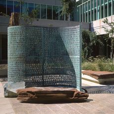
Kryptos
21.1 km
Sidwell Friends School
24.6 km
Walter Reed Army Medical Center
23.4 km
CIA Memorial Wall
21.1 km
Washington D.C. Temple
18.1 km
Hickory Hill
21.7 km
United States National Library of Medicine
18.2 km
DeMatha Catholic High School
30.1 km
Uniformed Services University of the Health Sciences
18.2 km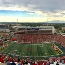
SECU Stadium
27.5 km
Glenstone
9.3 km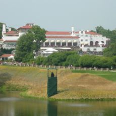
Congressional Country Club
15.8 km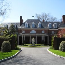
Hillwood Estate, Museum & Gardens
25.1 km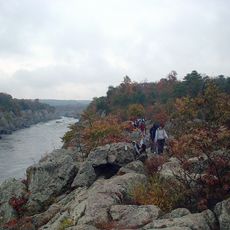
Billy Goat Trail
16.3 km
Wolf Trap National Park for the Performing Arts
22.8 km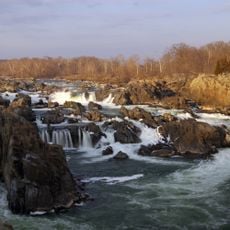
Great Falls
16 km
General Conference of Seventh-day Adventists
22.2 km
Project CHATTER
17.7 km
Northwest
25.9 km
Fort Reno Park
23.2 km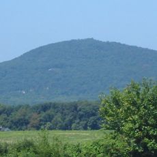
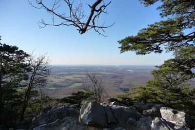
Sugar Loaf Mountain
21.5 km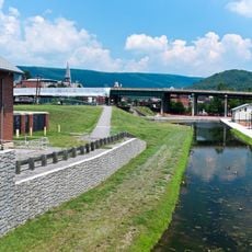
Chesapeake and Ohio Canal National Historical Park
25.3 km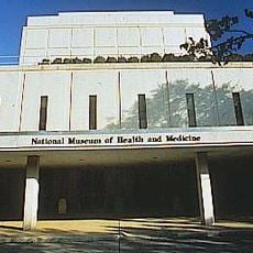
National Museum of Health and Medicine
19.3 km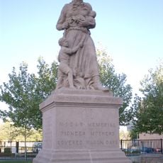
Madonna of the Trail
19.5 km
Rock Creek Cemetery
26.7 km
Seneca Creek State Park
4.6 km
Adams Memorial
26.9 km
Jones-Hill House
27.7 kmReviews
Visited this place? Tap the stars to rate it and share your experience / photos with the community! Try now! You can cancel it anytime.


Discover hidden gems everywhere you go!
From secret cafés to breathtaking viewpoints, skip the crowded tourist spots and find places that match your style. Our app makes it easy with voice search, smart filtering, route optimization, and insider tips from travelers worldwide. Download now for the complete mobile experience.

A unique approach to discovering new places❞
— Le Figaro
All the places worth exploring❞
— France Info
A tailor-made excursion in just a few clicks❞
— 20 Minutes