Enable Location

We need your location to show you interesting places around you

Discover nearby places

Find interesting locations and hidden gems around you

Precise directions

Get accurate directions and distances to places

Your location is never shared with other users. It's only used when you tap the location button.

Thomas County

Log in to your account

Start exploring — it's free

Trusted by 61,814 travelers worldwide

Continue with Google
Continue with Apple
or

We will send you a code to connect

By continuing, you accept our Terms and Conditions and our Privacy Policy

Check your inbox

We've sent a pincode in your inbox. Please enter the code below.

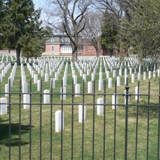
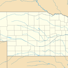
Thomas County, County in Nebraska, US

Description

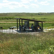
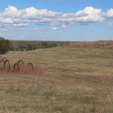
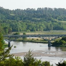
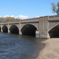
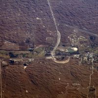
Thomas County is an administrative division in Nebraska characterized by rolling hills and prairie lands, with the Middle Loup River flowing through its central region. The county spans a large area covered primarily by open grasslands with limited urban centers.

History

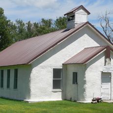
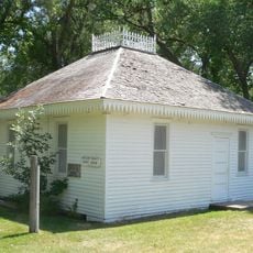
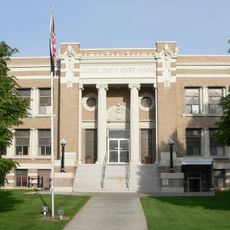
The county was established in 1887 and named after Civil War General George H. Thomas, a prominent military figure of the era. Thedford was chosen as its seat and remains the administrative hub to this day.

Culture

The rural population maintains strong agricultural traditions, with residents primarily engaged in cattle ranching and farming across the region. These activities shape daily life and how the landscape is used and organized.

Practical

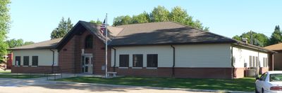
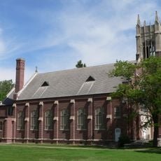
Visitors should be aware that this is a sparsely populated rural area with limited services, making Thedford the main hub for supplies and lodging options. Planning ahead and checking what is available locally will help make the most of a visit.

Did you know?

Nebraska National Forest extends into this county, creating a surprising wooded area within what is otherwise open prairie landscape. These forested sections provide habitat for wildlife and stand out distinctly from the surrounding grasslands.

Location
Inception
1887
Capital city
Thedford
Shares border with
Cherry County, Logan County, Blaine County, Hooker County, McPherson County
GPS coordinates
41.92000,-100.58000
Latest update
December 10, 2025 16:03

AroundUs brings together thousands of curated places, local tips, and hidden gems, enriched daily by 60,000 contributors worldwide. Discover all places nearby (Nebraska).

Around this place
Buffalo Bill Ranch
United States of America

Buffalo Bill Ranch

86.1 km
Fort McPherson
United States of America

Fort McPherson

100.7 km
Valentine National Wildlife Refuge
United States of America

Valentine National Wildlife Refuge

63.9 km
Fort McPherson National Cemetery
United States of America

Fort McPherson National Cemetery

99.7 km
Pilgrim Holiness Church
United States of America

Pilgrim Holiness Church

99.9 km
First Arthur County Courthouse and Jail
United States of America

First Arthur County Courthouse and Jail

100.1 km
O'Fallons Bluff
United States of America

O'Fallons Bluff

97.2 km
St. Anselm's Catholic Church, Rectory and Parish Hall
United States of America

St. Anselm's Catholic Church, Rectory and Parish Hall

68.2 km
Golden Spike Tower and Visitor Center
United States of America

Golden Spike Tower and Visitor Center

88.8 km
Niobrara Valley Preserve
United States of America

Niobrara Valley Preserve

106.3 km
Bryan Bridge
United States of America

Bryan Bridge

101.6 km
Sargent Bridge
United States of America

Sargent Bridge

105.5 km
Valentine Public School
United States of America

Valentine Public School

106.4 km
Adamson Bridge
United States of America

Adamson Bridge

99.1 km
Borman Bridge
United States of America

Borman Bridge

103.9 km
Twin Bridge
United States of America

Twin Bridge

48.4 km
Neville Center for the Performing Arts
United States of America

Neville Center for the Performing Arts

88.4 km
Hooker County Courthouse
United States of America

Hooker County Courthouse

40.8 km
Lincoln County Courthouse
United States of America

Lincoln County Courthouse

88.6 km
Custer County Courthouse
United States of America

Custer County Courthouse

88.7 km
Sutherland State Aid Bridge
United States of America

Sutherland State Aid Bridge

86.2 km
Custer County Courthouse
United States of America

Custer County Courthouse

97 km
Brenizer Library
United States of America

Brenizer Library

83.5 km
Broken Bow Carnegie Library
United States of America

Broken Bow Carnegie Library

96.9 km
Distrito electoral de Valentine (condado de Cherry, Nebraska)
United States of America

Distrito electoral de Valentine (condado de Cherry, Nebraska)

104.4 km
Union Pacific 6922
United States of America

Union Pacific 6922

87.2 km
Union Pacific 3977
United States of America

Union Pacific 3977

87.2 km
Tiffany Theater
United States of America

Tiffany Theater

96.9 km
Show the full map
Administrative divisions
« Thomas County - County in Nebraska, US » is provided by Around Us (aroundus.com). Images and texts are derived from Wikimedia project under a Creative Commons license. You are allowed to copy, distribute, and modify copies of this page, under the conditions set by the license, as long as this note is clearly visible.

Discover hidden gems everywhere you go!

From secret cafés to breathtaking viewpoints, skip the crowded tourist spots and find places that match your style. Our app makes it easy with voice search, smart filtering, route optimization, and insider tips from travelers worldwide. Download now for the complete mobile experience.

Around Us App Screenshot

A unique approach to discovering new places

Le Figaro

All the places worth exploring

France Info

A tailor-made excursion in just a few clicks

20 Minutes

Around Us
Travel Guide & Maps
Download

Send to your phone

QR Code
1

Open the camera app on your mobile.

2

Point at the QR code with your camera. A notification will appear.

3

Tap the notification to open the link.