·

Enable Location

We need your location to show you interesting places around you

Discover nearby places

Find interesting locations and hidden gems around you

Precise directions

Get accurate directions and distances to places

Your location is never shared with other users. It's only used when you tap the location button.

Jackson County

Log in to your account

Start exploring — it's free

Trusted by 62,747 travelers worldwide

Continue with Google
Continue with Apple
or

We will send you a code to connect

By continuing, you accept our Terms and Conditions and our Privacy Policy

Check your inbox

We've sent a pincode in your inbox. Please enter the code below.

Jackson County, Administrative county in Tennessee, United States

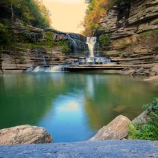
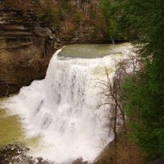
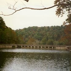
Jackson County is an administrative district in eastern Tennessee covering roughly 320 square miles (830 square kilometers) of rolling terrain, forests, and river valleys. The region is organized around small towns with Gainesboro as the county seat, where public buildings and local businesses are concentrated.

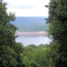
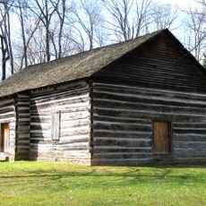
The county was established in 1801 as Tennessee's 18th county, developing around Fort Blount, a military outpost built in the 1790s along the Cumberland River. This early settlement became the foundation for how the region developed over the following centuries.

Gainesboro serves as the heart of local gatherings and community events where residents maintain regional traditions throughout the year. Visitors can observe how neighborhoods celebrate together and keep traditions alive in their everyday social life.

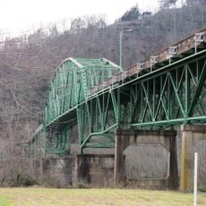
The area can be accessed and explored via Tennessee State Routes 53, 56, 85, and 135, which connect the region to surrounding counties. Gainesboro is the best starting point for visitors seeking services and local information.

A courthouse fire in Gainesboro in 1872 destroyed much of the county's early administrative records, making it difficult to trace certain aspects of its founding period. This loss means that the earliest decades of the county's history rely heavily on scattered surviving documents and oral traditions.

The community of curious travelers

AroundUs brings together thousands of curated places, local tips, and hidden gems, enriched daily by 60,000 contributors worldwide.

Start exploring
Location
Inception
1801
Capital city
Gainesboro
Shares border with
Clay County, Overton County, Putnam County, Smith County, Macon County
GPS coordinates
36.36000,-85.67000
Latest update
December 7, 2025 19:22
Around this place
Cummins Falls State Park
United States of America

Cummins Falls State Park

15.1 km
Cummins Falls
United States of America

Cummins Falls

15.3 km
Center Hill Lake
United States of America

Center Hill Lake

32.5 km
Burgess Falls State Park
United States of America

Burgess Falls State Park

35.8 km
Standing Stone State Park
United States of America

Standing Stone State Park

25.9 km
Edgar Evins State Park
United States of America

Edgar Evins State Park

34.9 km
Tucker Stadium
United States of America

Tucker Stadium

25 km
Burgess Falls
United States of America

Burgess Falls

35.8 km
Donoho Hotel
United States of America

Donoho Hotel

24.3 km
Fort Blount
United States of America

Fort Blount

8.6 km
Old Mulkey Meetinghouse State Historic Site
United States of America

Old Mulkey Meetinghouse State Historic Site

35.5 km
West End Church of Christ Silver Point
United States of America

West End Church of Christ Silver Point

34.3 km
Davis-Hull House
United States of America

Davis-Hull House

27.6 km
Dixona
United States of America

Dixona

34.9 km
Cordell Hull Bridge
United States of America

Cordell Hull Bridge

28.4 km
Cullum Mansion
United States of America

Cullum Mansion

27.5 km
James Bradley House
United States of America

James Bradley House

33.5 km
Smith County Courthouse
United States of America

Smith County Courthouse

28.1 km
Broad Street Church of Christ
United States of America

Broad Street Church of Christ

25.9 km
Fite-Williams-Ligon House
United States of America

Fite-Williams-Ligon House

28 km
Algood United Methodist Church
United States of America

Algood United Methodist Church

27.1 km
Mount Vernon AME Church
United States of America

Mount Vernon AME Church

36.9 km
Clay County Courthouse
United States of America

Clay County Courthouse

25.8 km
Belview School
United States of America

Belview School

40 km
Old Mulkey Meetinghouse
United States of America

Old Mulkey Meetinghouse

35.5 km
Macon County Fairgrounds
United States of America

Macon County Fairgrounds

39.4 km
Lafayette Theatre
United States of America

Lafayette Theatre

36.6 km
Standing Stone Rustic Park Historic District
United States of America

Standing Stone Rustic Park Historic District

25.7 km
Show the full map
« Jackson County - Administrative county in Tennessee, United States » is provided by Around Us (aroundus.com). Images and texts are derived from Wikimedia project under a Creative Commons license. You are allowed to copy, distribute, and modify copies of this page, under the conditions set by the license, as long as this note is clearly visible.

Discover hidden gems everywhere you go!

From secret cafés to breathtaking viewpoints, skip the crowded tourist spots and find places that match your style. Our app makes it easy with voice search, smart filtering, route optimization, and insider tips from travelers worldwide. Download now for the complete mobile experience.

Around Us App Screenshot

A unique approach to discovering new places

Le Figaro

All the places worth exploring

France Info

A tailor-made excursion in just a few clicks

20 Minutes

Around Us
Travel Guide & Maps
Download

Send to your phone

QR Code
1

Open the camera app on your mobile.

2

Point at the QR code with your camera. A notification will appear.

3

Tap the notification to open the link.