Sherburne County

Log in to your account

AroundUs is a community-driven map of interesting places, built by curious explorers like you. It grows with every review, story, and photo you share.
Connect to save your favorite spots, contribute locations, and create personalized routes.
By continuing, you accept our Terms and Conditions and our Privacy Policy
Add to collection
Map
Suggest a change
Share

Sherburne County, County seat in central Minnesota, United States

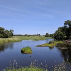
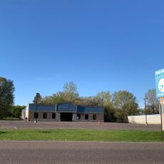
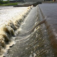
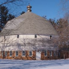
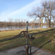
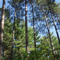
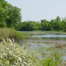
Sherburne County is an administrative county in central Minnesota spanning forests, farmland, and waterways including the Elk and Mississippi rivers. The territory encompasses several towns, with Elk River serving as the main administrative hub approximately 40 kilometers northwest of Minneapolis.

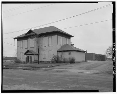
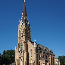
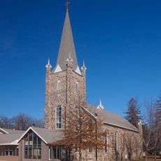
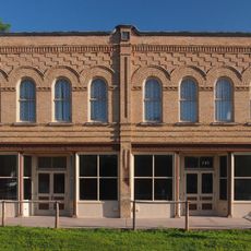
European settlement of the area began in the 1850s, with the establishment of the county seat in Elk River during 1872 marking organized development. River power drove sawmill and lumber operations that fueled regional economic growth through the late 1800s.

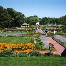
The Elk River Area Arts Alliance organizes regular exhibitions and workshops throughout Sherburne County, connecting local artists with community members.

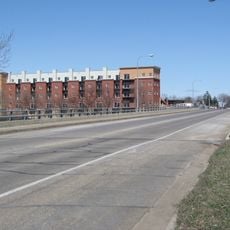
The county is easily reached by car via major highways, and Elk River sits on the Northstar Commuter Rail line to Minneapolis for convenient access. Lodging, dining, and shopping options are available in Elk River and surrounding towns, with the most pleasant visiting conditions during warmer months from May through October.

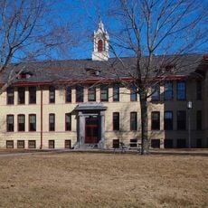
The area played a pioneering role in early nuclear energy with an experimental reactor facility operating in the 1960s, among the first in rural America. This episode shaped regional identity and earned recognition as a center of energy innovation.

Location: Minnesota

Inception: February 25, 1856

Capital city: Elk River

Shares border with: Mille Lacs County, Anoka County, Wright County, Benton County, Isanti County, Stearns County, Hennepin County

Website: http://co.sherburne.mn.us

GPS coordinates: 45.44000,-93.77000

Latest update: December 7, 2025 19:25

Photos
Around this place
Minnesota Correctional Facility – St. Cloud
United States of America

Minnesota Correctional Facility – St. Cloud

29.4 km
Sherburne National Wildlife Refuge
United States of America

Sherburne National Wildlife Refuge

7.3 km
Munsinger Gardens and Clemens Gardens
United States of America

Munsinger Gardens and Clemens Gardens

31.7 km
The Crossing Church
United States of America

The Crossing Church

13.7 km
Church of St. Michael-Catholic
United States of America

Church of St. Michael-Catholic

26.8 km
Tobias G. Mealey House
United States of America

Tobias G. Mealey House

15.8 km
Rand House
United States of America

Rand House

15.8 km
St. Cloud Dam
United States of America

St. Cloud Dam

31.8 km
Betty Adkins Bridge
United States of America

Betty Adkins Bridge

23.6 km
Thayer Hotel
United States of America

Thayer Hotel

34.1 km
Riverview Hall
United States of America

Riverview Hall

32 km
Church of St. Mary Help of Christians-Catholic
United States of America

Church of St. Mary Help of Christians-Catholic

30.2 km
Sparre Barn
United States of America

Sparre Barn

26.3 km
Parrish Avenue Bridge
United States of America

Parrish Avenue Bridge

22.2 km
Clearwater Masonic Lodge
United States of America

Clearwater Masonic Lodge

21.9 km
Babcock Memorial Park
United States of America

Babcock Memorial Park

23.6 km
Herbert M. Fox House
United States of America

Herbert M. Fox House

8.9 km
First Congregational Church of Clearwater
United States of America

First Congregational Church of Clearwater

22.1 km
Nicherson–Tarbox House
United States of America

Nicherson–Tarbox House

15.3 km
William W. Webster House
United States of America

William W. Webster House

22.1 km
Cota Round Barns
United States of America

Cota Round Barns

20.8 km
St. Mark's Episcopal Chapel
United States of America

St. Mark's Episcopal Chapel

29.9 km
Oliver H. Kelley Farm
United States of America

Oliver H. Kelley Farm

27 km
Sand Dunes State Forest
United States of America

Sand Dunes State Forest

4.7 km
Lake Maria State Park
United States of America

Lake Maria State Park

20.3 km
Oliver H. Kelley Homestead
United States of America

Oliver H. Kelley Homestead

27.1 km
Highway 25 Bridge
United States of America

Highway 25 Bridge

14.7 km
Crow-Hassan Park Reserve
United States of America

Crow-Hassan Park Reserve

29.4 km
Show the full map
Reviews

Visited this place? Tap the stars to rate it and share your experience / photos with the community! Try now! You can cancel it anytime.

« Sherburne County - County seat in central Minnesota, United States » is provided by Around Us (aroundus.com). Images and texts are derived from Wikimedia project under a Creative Commons license. You are allowed to copy, distribute, and modify copies of this page, under the conditions set by the license, as long as this note is clearly visible.

Discover hidden gems everywhere you go!

From secret cafés to breathtaking viewpoints, skip the crowded tourist spots and find places that match your style. Our app makes it easy with voice search, smart filtering, route optimization, and insider tips from travelers worldwide. Download now for the complete mobile experience.

Around Us App Screenshot

A unique approach to discovering new places

Le Figaro

All the places worth exploring

France Info

A tailor-made excursion in just a few clicks

20 Minutes