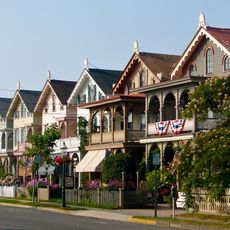
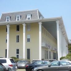
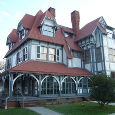
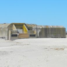
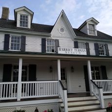
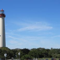
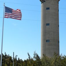
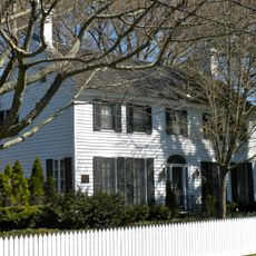
Lower Township, township in Cape May County, New Jersey, United States
Location: Cape May County
Inception: April 2, 1723
Shares border with: Wildwood, Middle Township, Wildwood Crest, Cape May, West Cape May, Cape May Point
Website: https://townshipoflower.org
GPS coordinates: 38.98380,-74.91130
Latest update: March 6, 2025 23:48
Cape May Historic District
4.9 km
Congress Hall
6 km
Cape May Lighthouse
7.1 km
Emlen Physick Estate
4.8 km
Battery 223
7 km
Sunset Beach
6.7 km
Sunset Beach
6.7 km
Harriet Tubman Museum
5.5 km
Cape May Point State Park
7.1 km
Naval Air Station Wildwood Aviation Museum
2.3 km
Poverty Beach
5 km
Higbee Beach Wildlife Management Area
4.9 km
Fire Control Tower No. 23
6.6 km
Cape May Winery & Vineyard
1.6 km
Turtle Gut Inlet
5.8 km
Historic Cold Spring Village
796 m
Cape May Stage
5.7 km
Jonathan Pyne House
6.6 km
John B. McCreary House
5.8 km
Fishing Creek Schoolhouse
4.1 km
Marine National Bank
8.5 km
Owen Coachman House
2.9 km
Whilldin-Miller House
5.8 km
Cold Spring Grange Hall
722 m
George Hildreth House
617 m
TBM-3E Avenger Torpedo Bomber
2.3 km
Octagonal Poultry House
501 m
Middle Thorofare Bridge
4.5 kmReviews
Visited this place? Tap the stars to rate it and share your experience / photos with the community! Try now! You can cancel it anytime.
Discover hidden gems everywhere you go!
From secret cafés to breathtaking viewpoints, skip the crowded tourist spots and find places that match your style. Our app makes it easy with voice search, smart filtering, route optimization, and insider tips from travelers worldwide. Download now for the complete mobile experience.
A unique approach to discovering new places❞
— Le Figaro
All the places worth exploring❞
— France Info
A tailor-made excursion in just a few clicks❞
— 20 Minutes