Chest opened
+${chestReward.xp} XP
Explorer
NOUVEAU ×${chestReward.collectible.quantity}
tapez pour fermer
Chest locked

Open chests in the app

Around Us is built for your phone — chests unlock when you walk, explore and capture nearby places.

Enable Location

We need your location to show you interesting places around you

Discover nearby places

Find interesting locations and hidden gems around you

Precise directions

Get accurate directions and distances to places

Your location is never shared with other users. It's only used when you tap the location button.

Crawford Notch

Log in to your account

Start exploring — it's free

Trusted by 72,886 travelers worldwide

Continue with Google
Continue with Apple
or

We will send you a code to connect

By continuing, you accept our Terms and Conditions and our Privacy Policy

Check your inbox

We've sent a pincode in your inbox. Please enter the code below.

Crawford Notch
Discussion Reviews 1 Photos
13.1k Popularity

Crawford Notch, Mountain pass in Carroll County, New Hampshire.

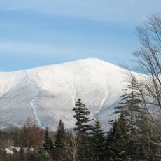
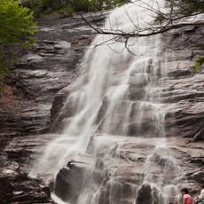
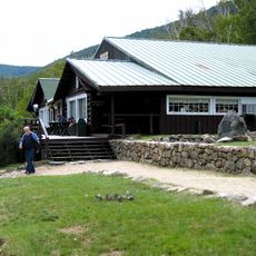
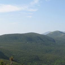
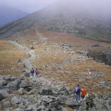
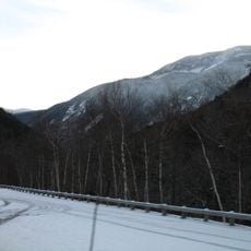
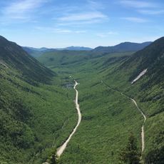
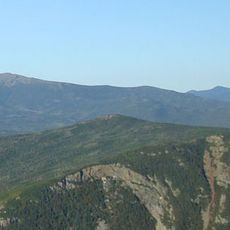
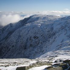
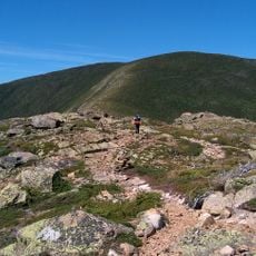
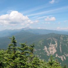
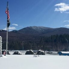
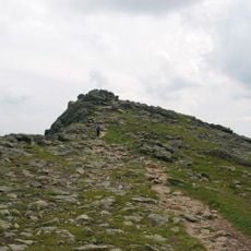
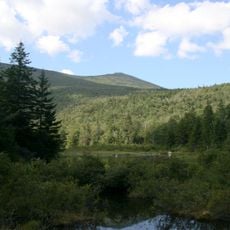
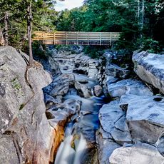
Crawford Notch is a mountain pass cutting through the White Mountains, running between Bretton Woods and Bartlett at about 1,532 feet elevation. The valley is bounded by steep rock formations and contains the Dry River flowing through the gorge, with multiple hiking trails branching off toward waterfalls and ridge destinations.

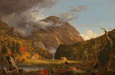
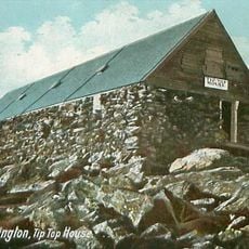
Ethan Allen Crawford and Abel Crawford established the Crawford Path in 1819, one of the oldest continuously maintained hiking trails in North America. A devastating event in 1826 demonstrated the power of nature when an avalanche struck the nearby Willey House.

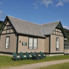
The name comes from the Crawford family, early settlers who explored and mapped this mountain passage in the 1800s. Today, visitors move through the narrow valley between towering rock walls and dense forest, experiencing the same dramatic landscape that drew people here long ago.

The Dry River Campground provides 36 campsites and serves as a good base for exploration; wear sturdy shoes and bring rain gear since conditions change quickly. The best hiking season runs from May through October when trails are most accessible and weather patterns are most predictable.

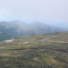
The V-shaped valley formation was carved by glacial erosion during ice ages, with visible rock layers clearly exposed on the cliff walls. These stratified bands reveal millions of years of erosion and geological layering in the mountainside.

The community of curious travelers

AroundUs brings together thousands of curated places, local tips, and hidden gems, enriched daily by 60,000 contributors worldwide.

Start exploring
Location
GPS coordinates
44.20830,-71.40500
Latest update
December 7, 2025 20:41
Reviews
Share your experience

No review yet

Discussions
Start a discussion...

No discussion yet

« Crawford Notch - Mountain pass in Carroll County, New Hampshire » is provided by Around Us (aroundus.com). Images and texts are derived from Wikimedia project under a Creative Commons license. You are allowed to copy, distribute, and modify copies of this page, under the conditions set by the license, as long as this note is clearly visible.

Discover hidden gems everywhere you go!

From secret cafés to breathtaking viewpoints, skip the crowded tourist spots and find places that match your style. Our app makes it easy with voice search, smart filtering, route optimization, and insider tips from travelers worldwide. Download now for the complete mobile experience.

Around Us App Screenshot

A unique approach to discovering new places

Le Figaro

All the places worth exploring

France Info

A tailor-made excursion in just a few clicks

20 Minutes

Around Us
Travel Guide & Maps
Download

Send to your phone

QR Code
1

Open the camera app on your mobile.

2

Point at the QR code with your camera. A notification will appear.

3

Tap the notification to open the link.