Enable Location

We need your location to show you interesting places around you

Discover nearby places

Find interesting locations and hidden gems around you

Precise directions

Get accurate directions and distances to places

Your location is never shared with other users. It's only used when you tap the location button.

Monessen

Log in to your account

Start exploring — it's free

Trusted by 62,841 travelers worldwide

Continue with Google
Continue with Apple
or

We will send you a code to connect

By continuing, you accept our Terms and Conditions and our Privacy Policy

Check your inbox

We've sent a pincode in your inbox. Please enter the code below.

Monessen, Industrial city in Westmoreland County, Pennsylvania, US

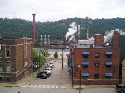
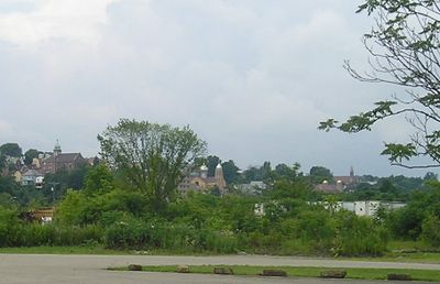
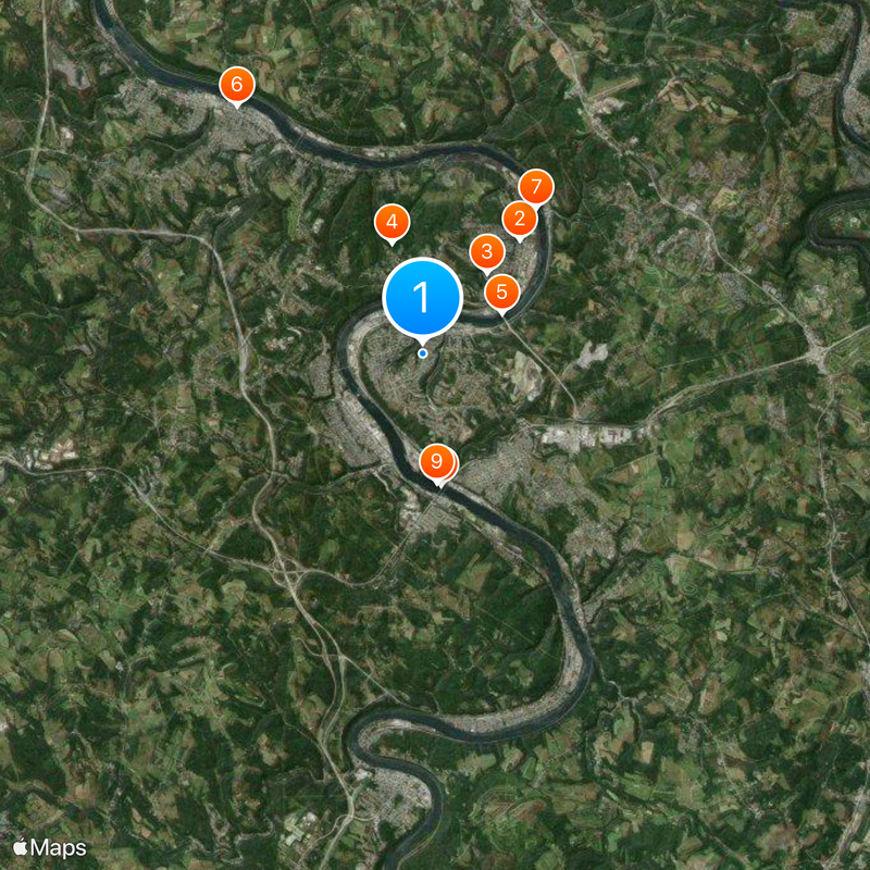
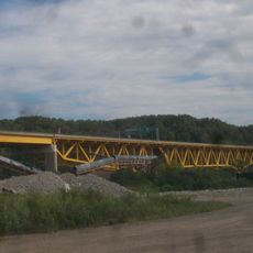
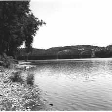
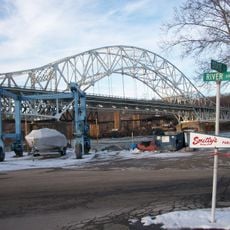
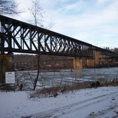
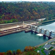
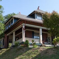
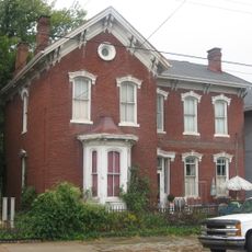
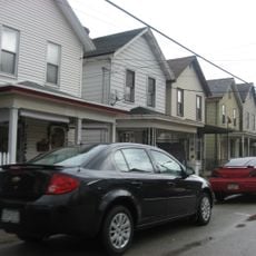
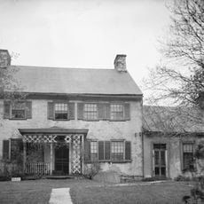
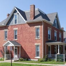
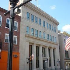
Monessen is a city in Westmoreland County, Pennsylvania, situated along the Monongahela River with a mix of residential neighborhoods and former factory grounds. The layout reflects its industrial past, with older structures concentrated near the riverbank and residential areas spreading inland.

The city began in 1897 when the National Tin Plate Company opened its mill, triggering rapid growth as workers arrived to labor in the factories. The boom years of the early 1900s transformed it into a major industrial hub of the region.

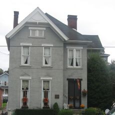
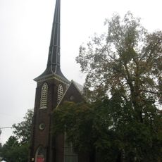
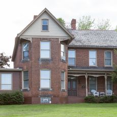
The industrial past shapes what you see walking through the streets, where worker neighborhoods and former factory buildings still define the landscape. People here maintain a strong connection to the mills and the families who worked in them, visible in local gatherings and community spaces.

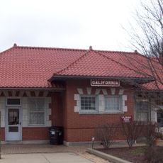
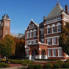
The riverside location makes it easy to navigate the city and get a sense of how the river shaped development. Local landmarks like schools and education centers are reasonably accessible and help you find your way around the neighborhoods.

The name blends Monongahela and Essen, connecting the river location with German steel-making traditions that shaped the mills. This naming choice reflects how European workers and industrialists brought their expertise and influenced the city's early development.

The community of curious travelers

AroundUs brings together thousands of curated places, local tips, and hidden gems, enriched daily by 60,000 contributors worldwide.

Start exploring
Inception
1897
GPS coordinates
40.15420,-79.88280
Latest update
December 20, 2025 00:27
Around this place
United States of America

Donora Smog Museum

3.4 km
Cement City Historic District
United States of America

Cement City Historic District

2.4 km
United States of America

Eldora Park

2.6 km
Donora-Monessen Bridge
United States of America

Donora-Monessen Bridge

2 km
Edward G. Acheson House
United States of America

Edward G. Acheson House

7.1 km
Donora-Webster Bridge
United States of America

Donora-Webster Bridge

4.2 km
Belle Vernon Bridge
United States of America

Belle Vernon Bridge

3.1 km
Speers Railroad Bridge
United States of America

Speers Railroad Bridge

3 km
Monongahela Cemetery
United States of America

Monongahela Cemetery

5.6 km
Old Main
United States of America

Old Main

9.8 km
Charleroi-Monessen Bridge
United States of America

Charleroi-Monessen Bridge

1.8 km
Charleroi Locks & Dam
United States of America

Charleroi Locks & Dam

1.7 km
Molly Fleming House
United States of America

Molly Fleming House

10.1 km
California Area Public Library
United States of America

California Area Public Library

9.6 km
David Longwell House
United States of America

David Longwell House

7.1 km
Charleroi Historic District
United States of America

Charleroi Historic District

2.2 km
Col. Edward Cook House
United States of America

Col. Edward Cook House

5.6 km
Jennings-Gallagher House
United States of America

Jennings-Gallagher House

10 km
Bethel African American Episcopal Church of Monongahela City
United States of America

Bethel African American Episcopal Church of Monongahela City

7.2 km
First National Bank of Charleroi
United States of America

First National Bank of Charleroi

2.2 km
Arboreto de la universidad de California en Pensilvania
United States of America

Arboreto de la universidad de California en Pensilvania

9.7 km
United States of America

Monongahela City Bridge

5.8 km
John H. Nelson House
United States of America

John H. Nelson House

6.7 km
United States of America

Whetzel Preserve

8.2 km
United States of America

Redds Beach

6.9 km
United States of America

Willowbrook Golf Course

7.8 km

Redds Beach

6.9 km
United States of America

Blaze the Vulcan

9.9 km
Show the full map
« Monessen - Industrial city in Westmoreland County, Pennsylvania, US » is provided by Around Us (aroundus.com). Images and texts are derived from Wikimedia project under a Creative Commons license. You are allowed to copy, distribute, and modify copies of this page, under the conditions set by the license, as long as this note is clearly visible.

Discover hidden gems everywhere you go!

From secret cafés to breathtaking viewpoints, skip the crowded tourist spots and find places that match your style. Our app makes it easy with voice search, smart filtering, route optimization, and insider tips from travelers worldwide. Download now for the complete mobile experience.

Around Us App Screenshot

A unique approach to discovering new places

Le Figaro

All the places worth exploring

France Info

A tailor-made excursion in just a few clicks

20 Minutes

Around Us
Travel Guide & Maps
Download

Send to your phone

QR Code
1

Open the camera app on your mobile.

2

Point at the QR code with your camera. A notification will appear.

3

Tap the notification to open the link.