Mount Carmel, borough in southeastern Northumberland County, Pennsylvania, United States
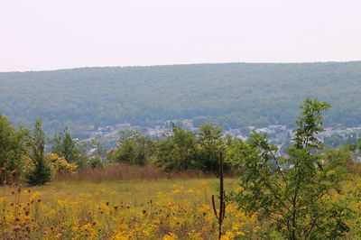
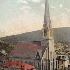
Mount Carmel is a small borough in Northumberland County, Pennsylvania, situated in the Anthracite Coal Region and surrounded by hills and forests with residential streets and a modest town center. The main streets feature old brick buildings, local shops, and homes that have stood for generations, creating a simple and historic character.
The town was named by a sawmill operator after a mountain in Israel that resembled the view from here, and grew from a logging camp into a mining center when coal was discovered at the end of the 1700s. In 1883, Thomas Edison built one of his first power plants in Mount Carmel, making it an early center of electrical technology.
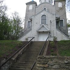
Our Lady of Mount Carmel Church has served as a gathering place for the community for over a century, hosting regular services and local festivals. The simple structure reflects the traditions and values of the town's residents, who maintain strong ties to their heritage.
The town is easy to walk around and friendly for visitors exploring its quiet pace and neighborhoods. Pennsylvania Route 61 provides access to nearby cities, and bus service connects residents to larger areas for shopping or travel.
Thomas Edison installed one of his first power plants here in 1883, showing that this small mining town was at the forefront of technology. Local residents preserve memories of this rare piece of history through stories and recognition.
The community of curious travelers
AroundUs brings together thousands of curated places, local tips, and hidden gems, enriched daily by 60,000 contributors worldwide.