Chest opened
+${chestReward.xp} XP
Explorer
NOUVEAU ×${chestReward.collectible.quantity}
tapez pour fermer

See the monuments around you in AR Open chests in the app

Around Us is built for your phone — point your camera at the streets and discover the monuments and places around you in augmented reality. Around Us is built for your phone — chests unlock when you walk, explore and capture nearby places.

Enable Location

We need your location to show you interesting places around you

Discover nearby places

Find interesting locations and hidden gems around you

Precise directions

Get accurate directions and distances to places

Your location is never shared with other users. It's only used when you tap the location button.

Traverse Gap

Log in to your account

Start exploring — it's free

Trusted by 86,625 travelers worldwide

Continue with Google
Continue with Apple
or

We will send you a code to connect

By continuing, you accept our Terms and Conditions and our Privacy Policy

Check your inbox

We've sent a pincode in your inbox. Please enter the code below.

Discussion Reviews 1 Photos
10.5k Popularity

Traverse Gap, National Natural Landmark in Big Stone County, United States

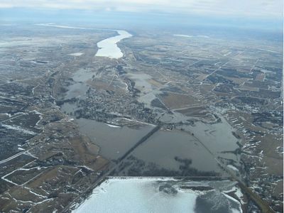
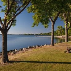
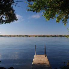
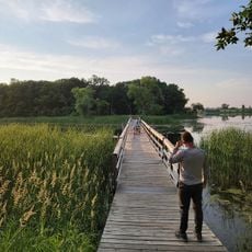
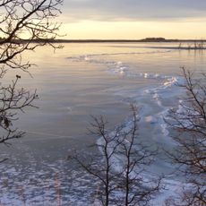
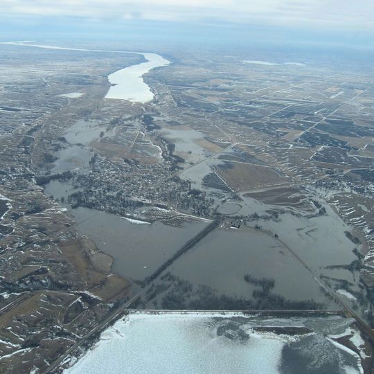
Traverse Gap is a natural passage in Big Stone County where ancient river channels connect Lake Traverse and Big Stone Lake across a continental divide. The landscape shows clear marks of glacial activity that shaped the terrain thousands of years ago.

Native American peoples settled in the area over 9,000 years ago, leaving behind tools and artifacts that archaeologists have discovered. These early settlements show how long the valley has been used as a passage.

The valley contains geological formations that demonstrate the effects of glacial movements, making it an educational site for natural history studies.

The site is easily reached through Minnesota State Highway 28, which connects to South Dakota Highway 10 near Browns Valley. Good preparation for weather changes is important since the area is open to the elements.

The valley crosses a continental divide at roughly 1,000 feet elevation, creating a rare hydrological condition where water flows into separate basins. This geological condition makes the location an example of how small terrain variations shape major water patterns.

The community of curious travelers

AroundUs brings together thousands of curated places, local tips, and hidden gems, enriched daily by 60,000 contributors worldwide.
Start exploring
Location
GPS coordinates
45.58500,-96.83000
Latest update
September 12, 2026 07:09
Around this place
Big Stone Lake
United States of America

Big Stone Lake

16 mi
Blue Cloud Abbey
United States of America

Blue Cloud Abbey

23.2 mi
International Vinegar Museum
United States of America

International Vinegar Museum

32.6 mi
Big Stone Lake State Park
United States of America

Big Stone Lake State Park

20.8 mi
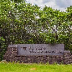
Big Stone National Wildlife Refuge
United States of America

Big Stone National Wildlife Refuge

33.4 mi
Roy Lake State Park
United States of America

Roy Lake State Park

31.1 mi
Sam Brown Memorial State Wayside
United States of America

Sam Brown Memorial State Wayside

0.9 mi
Waubay National Wildlife Refuge
United States of America

Waubay National Wildlife Refuge

27.1 mi
First Congregational Church of Milbank
United States of America

First Congregational Church of Milbank

26.8 mi
Lebanon Lutheran Church
United States of America

Lebanon Lutheran Church

27.3 mi
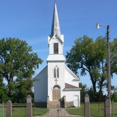
Zoar Norwegian Lutheran Church
United States of America

Zoar Norwegian Lutheran Church

20 mi
Walla Lutheran Church
United States of America

Walla Lutheran Church

19.6 mi
Browns Valley Carnegie Library
United States of America

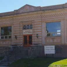
Browns Valley Carnegie Library

0.7 mi
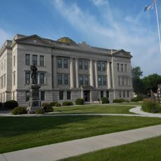
Big Stone County Courthouse
United States of America

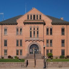
Big Stone County Courthouse

27 mi
Palestine Evangelical Lutheran Church
United States of America

Palestine Evangelical Lutheran Church

31.3 mi
Brown Earth Presbyterian Church
United States of America

Brown Earth Presbyterian Church

32.1 mi
Roberts County Courthouse
United States of America

Roberts County Courthouse

11.7 mi
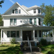
Andrew and Mary Stavig House
United States of America

Andrew and Mary Stavig House

12 mi
Grant County Courthouse
United States of America

Grant County Courthouse

27.1 mi
Sisseton Carnegie Library
United States of America

Sisseton Carnegie Library

11.9 mi
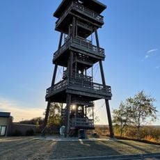
Nicollet Tower & Interpretive Center
United States of America

Nicollet Tower & Interpretive Center

15.6 mi
Graceville Historical Marker
United States of America

Graceville Historical Marker

18.4 mi
West Pickerel Lake Recreation Area
United States of America

West Pickerel Lake Recreation Area

22.7 mi
United States of America

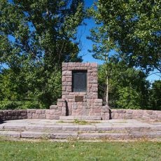
Samuel J Brown State Monument

1 mi

United States of America

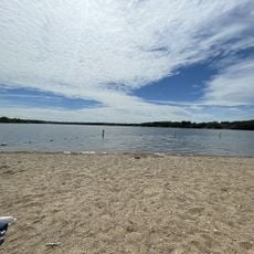
South Beach

8 mi
United States of America

Teepee

25 mi
United States of America

Scenic viewpoint

15.4 mi
Show the full map
Reviews
Share your experience

No review yet

Discussions
Start a discussion...

No discussion yet

« Traverse Gap - National Natural Landmark in Big Stone County, United States » is provided by Around Us (aroundus.com). Images and texts are derived from Wikimedia project under a Creative Commons license. You are allowed to copy, distribute, and modify copies of this page, under the conditions set by the license, as long as this note is clearly visible.

Discover hidden gems everywhere you go!

From secret cafés to breathtaking viewpoints, skip the crowded tourist spots and find places that match your style. Our app makes it easy with voice search, smart filtering, route optimization, and insider tips from travelers worldwide. Download now for the complete mobile experience.

Around Us App Screenshot

A unique approach to discovering new places

Le Figaro

All the places worth exploring

France Info

A tailor-made excursion in just a few clicks

20 Minutes

Around Us
Travel Guide & Maps
Download

Send to your phone

QR Code
1

Open the camera app on your mobile.

2

Point at the QR code with your camera. A notification will appear.

3

Tap the notification to open the link.