Chest opened
+${chestReward.xp} XP
Explorer
NOUVEAU ×${chestReward.collectible.quantity}
tapez pour fermer
Chest locked

Open chests in the app

Around Us is built for your phone — chests unlock when you walk, explore and capture nearby places.

Enable Location

We need your location to show you interesting places around you

Discover nearby places

Find interesting locations and hidden gems around you

Precise directions

Get accurate directions and distances to places

Your location is never shared with other users. It's only used when you tap the location button.

Patapsco River

Log in to your account

Start exploring — it's free

Trusted by 72,878 travelers worldwide

Continue with Google
Continue with Apple
or

We will send you a code to connect

By continuing, you accept our Terms and Conditions and our Privacy Policy

Check your inbox

We've sent a pincode in your inbox. Please enter the code below.

Patapsco River
Discussion Reviews 1 Photos
29.1k Popularity

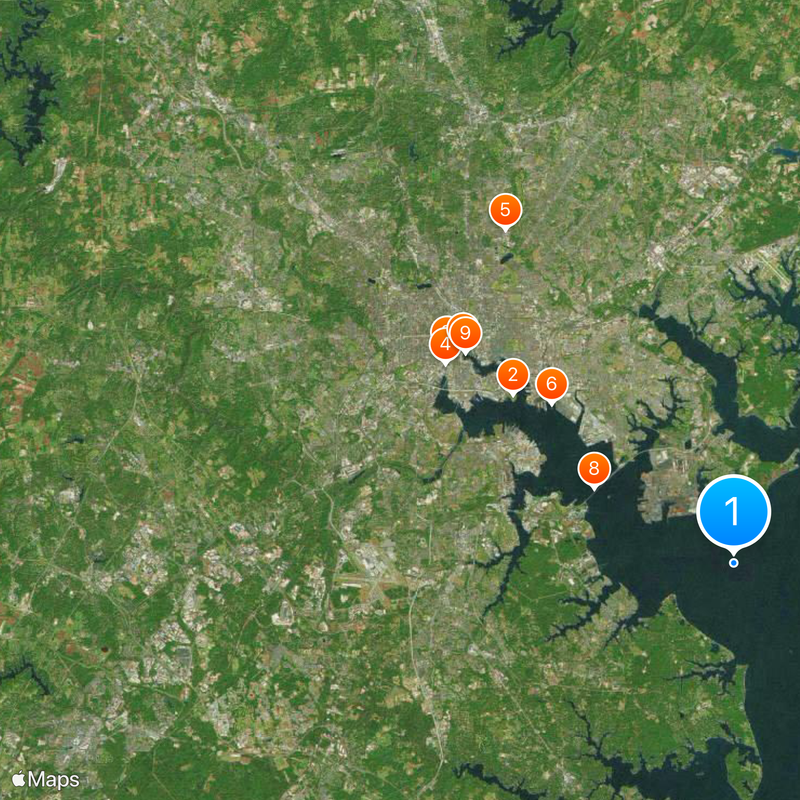
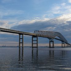
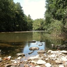
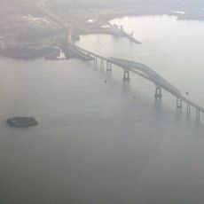
Patapsco River, River system in central Maryland, US

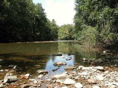
The Patapsco River is a river system that winds through central Maryland and forms Baltimore Harbor before emptying into the Chesapeake Bay. It runs alongside Patapsco Valley State Park, which provides access to its banks and supports outdoor recreation.

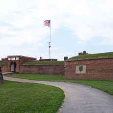
The river supported mills and factories from the 1770s onward, driving Maryland's early industrialization. A turning point came in 1814, when events at the river's mouth inspired a moment that would move the nation.

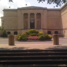
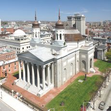
The river shaped Baltimore and surrounding communities as millers and factory owners harnessed its water power. Today, restored mills and industrial buildings along its banks tell this working past.

Patapsco Valley State Park offers hiking trails, fishing spots, and camping areas along the river for visitors. The best times to explore are spring and fall when weather is mild and nature is at its most welcoming.

The river was long interrupted by several dams that restricted fish populations. The removal of one of these barriers in the 2010s allowed migratory fish species to return to their historic spawning grounds upstream.

The community of curious travelers

AroundUs brings together thousands of curated places, local tips, and hidden gems, enriched daily by 60,000 contributors worldwide.

Start exploring
Location
GPS coordinates
39.18000,-76.44000
Latest update
December 20, 2025 11:49
Around this place
Fort McHenry
United States of America

Fort McHenry

15.2 km
Oriole Park at Camden Yards
United States of America

Oriole Park at Camden Yards

19.5 km
M&T Bank Stadium
United States of America

M&T Bank Stadium

19.2 km
Morgan State University
United States of America

Morgan State University

22.1 km
NS Savannah
United States of America

NS Savannah

13.2 km
USS Constellation
United States of America

USS Constellation

18.9 km
Francis Scott Key Bridge
United States of America

Francis Scott Key Bridge

8.7 km
Inner Harbor
United States of America

Inner Harbor

18.6 km
Walters Art Museum
United States of America

Walters Art Museum

20 km
Merriweather Post Pavilion
United States of America

Merriweather Post Pavilion

36.6 km
National Aquarium
United States of America

National Aquarium

18.6 km
United States of America

Phoenix Shot Tower

18.9 km
Belvedere Hotel
United States of America

Belvedere Hotel

20.4 km
Green Mount Cemetery
United States of America

Green Mount Cemetery

20.2 km
SS John W. Brown
United States of America

SS John W. Brown

14.9 km
Baltimore City College
United States of America

Baltimore City College

21.1 km
B&O Railroad Museum
United States of America

B&O Railroad Museum

20.3 km
USCGC Taney
United States of America

USCGC Taney

18.6 km
Washington Monument
United States of America

Washington Monument

20 km
USS Torsk
United States of America

USS Torsk

18.7 km
Patapsco Valley State Park
United States of America

Patapsco Valley State Park

32.4 km
Baltimore Museum of Art
United States of America

Baltimore Museum of Art

22.4 km
Fort Carroll
United States of America

Fort Carroll

7.8 km
Maryland Science Center
United States of America

Maryland Science Center

18.6 km
Edgar Allan Poe House and Museum
United States of America

Edgar Allan Poe House and Museum

20.8 km
Basilica of the National Shrine of the Assumption of the Blessed Virgin Mary
United States of America

Basilica of the National Shrine of the Assumption of the Blessed Virgin Mary

19.8 km
Emerson Bromo-Seltzer Tower
United States of America

Emerson Bromo-Seltzer Tower

19.7 km
Transamerica Tower
United States of America

Transamerica Tower

19.2 km
Show the full map
Reviews
Share your experience

No review yet

Discussions
Start a discussion...

No discussion yet

« Patapsco River - River system in central Maryland, US » is provided by Around Us (aroundus.com). Images and texts are derived from Wikimedia project under a Creative Commons license. You are allowed to copy, distribute, and modify copies of this page, under the conditions set by the license, as long as this note is clearly visible.

Discover hidden gems everywhere you go!

From secret cafés to breathtaking viewpoints, skip the crowded tourist spots and find places that match your style. Our app makes it easy with voice search, smart filtering, route optimization, and insider tips from travelers worldwide. Download now for the complete mobile experience.

Around Us App Screenshot

A unique approach to discovering new places

Le Figaro

All the places worth exploring

France Info

A tailor-made excursion in just a few clicks

20 Minutes

Around Us
Travel Guide & Maps
Download

Send to your phone

QR Code
1

Open the camera app on your mobile.

2

Point at the QR code with your camera. A notification will appear.

3

Tap the notification to open the link.