
Morganfield, city in Union County, Kentucky, United States of America
Location: Union County
Inception: 1812
Elevation above the sea: 134 m
Website: http://morganfieldkentucky.com
GPS coordinates: 37.68440,-87.91190
Latest update: March 3, 2025 13:04
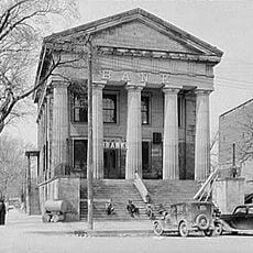
Shawneetown Bank State Historic Site
19.7 km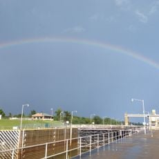
John T. Myers Locks and Dam
14 km
Mann Site
26.2 km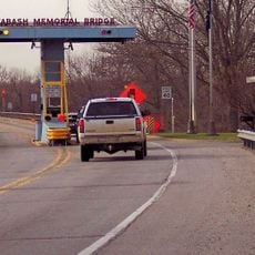
Wabash Memorial Bridge
30.9 km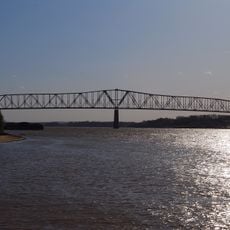
Shawneetown Bridge
19.4 kmWelborn Village Archeological Site
14 km
Hovey Lake Archaeological District
16.2 km
Battery Rock
22.8 km
Ashworth Archaeological Site
18.6 kmGallatin County Courthouse
24.4 km
Hovey Lake Fish and Wildlife Area
14.8 km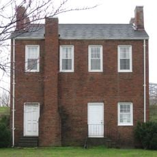
John Marshall House Museum
19.8 km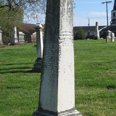
Confederate Monument of Morganfield
1.1 km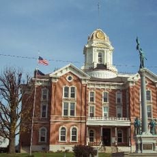
Posey County Courthouse Square
27.6 km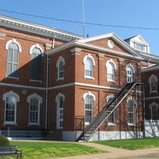
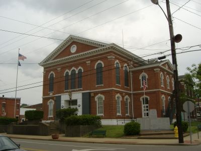
Union County Courthouse
477 m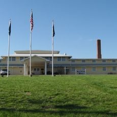
Camp Breckinridge Non-Commissioned Officers' Club
2.2 km
Bieker-Wilson Village Site
29.7 km
Duffy Site
25.3 km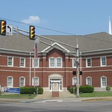
I.O.O.F. and Barker Buildings
27.6 km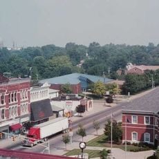
Mount Vernon Downtown Historic District
27.5 km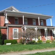
Daniel H. Hughes House
598 m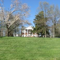
George N. Proctor House
7.7 km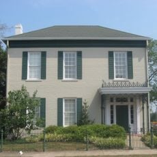
Welborn Historic District
27.8 km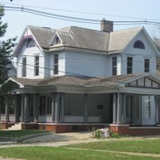
William Gonnerman House
27.2 km
Robert and John McKee Peeples Houses
19.6 km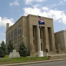
Webster County Courthouse
27 km
Cave In Rock State Park
32 km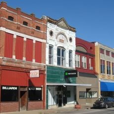
Morganfield Commercial District
445 mVisited this place? Tap the stars to rate it and share your experience / photos with the community! Try now! You can cancel it anytime.
Discover hidden gems everywhere you go!
From secret cafés to breathtaking viewpoints, skip the crowded tourist spots and find places that match your style. Our app makes it easy with voice search, smart filtering, route optimization, and insider tips from travelers worldwide. Download now for the complete mobile experience.

A unique approach to discovering new places❞
— Le Figaro
All the places worth exploring❞
— France Info
A tailor-made excursion in just a few clicks❞
— 20 Minutes