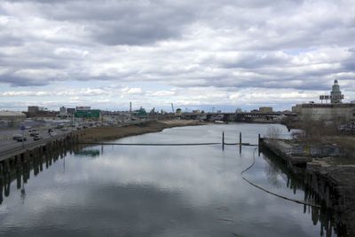
Flushing River, Tidal waterway in Queens, United States.
The Flushing River flows northward through Queens, connecting Jamaica Yard to the East River and Flushing Bay over a distance of about 4 miles. The waterway passes through sections of park with artificial lakes and portions that run underground through the developed urban landscape.
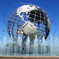
During the 1600s and 1700s, the river formed a boundary between the colonial towns of Flushing and Newtown and served as a vital trade route. In the 1930s, the waterway was significantly altered during preparation for the World's Fair, when sections were dammed and reshaped to create lakes.
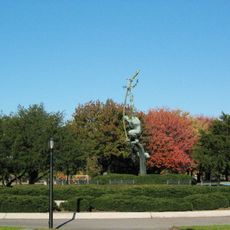
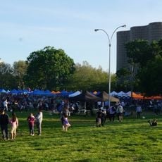
The waterway is now a place where locals go to observe nature within the city, especially around the artificial lakes within the park area. People use the banks to escape urban noise and watch birds and other wildlife that have adapted to living near the water in this neighborhood.
Several access points along the waterway allow visitors to get on the water for kayaking and fishing activities. These spots connect easily to the pathways of the nearby park, making it simple to explore different sections during a visit.
Three original streams - Mill Creek, Kissena Creek, and Horse Brook - once fed this waterway but were rerouted or buried underground by urban development. These hidden tributaries now flow invisibly beneath city streets, yet still shape the water patterns of the area today.
The community of curious travelers
AroundUs brings together thousands of curated places, local tips, and hidden gems, enriched daily by 60,000 contributors worldwide.