Enable Location

We need your location to show you interesting places around you

Discover nearby places

Find interesting locations and hidden gems around you

Precise directions

Get accurate directions and distances to places

Your location is never shared with other users. It's only used when you tap the location button.

Franconia Notch

Log in to your account

Start exploring — it's free

Trusted by 61,875 travelers worldwide

Continue with Google
Continue with Apple
or

We will send you a code to connect

By continuing, you accept our Terms and Conditions and our Privacy Policy

Check your inbox

We've sent a pincode in your inbox. Please enter the code below.

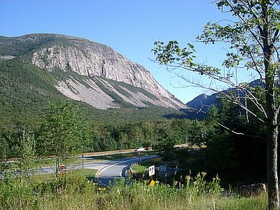
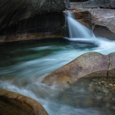
Franconia Notch, Mountain pass in Grafton County, United States

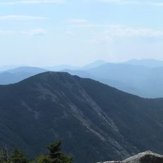
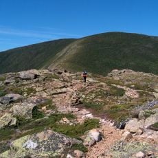
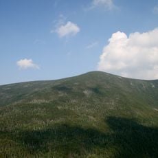
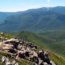
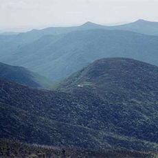
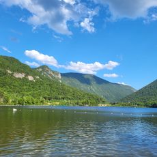
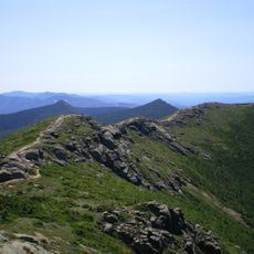
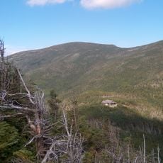
Franconia Notch is a mountain pass that cuts through the White Mountain National Forest, threading between towering rock walls and connecting dramatic gorges. The landscape features Echo Lake at roughly 1,900 feet elevation and steep terrain throughout.

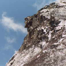
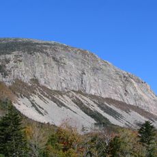
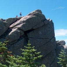
Surveyors discovered a natural rock formation on Cannon Mountain in 1805 that became New Hampshire's state symbol for nearly two centuries. The formation collapsed in 2003, marking the end of an era for the region's identity.

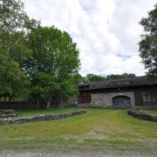
The New England Ski Museum documents the region's connection to winter sports and honors local athletes who competed at Olympic Games.

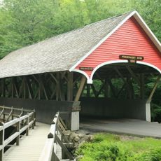
The main access is through Interstate 93, which runs directly through the pass. Facilities include Lafayette Place Campground with tent sites available during the warmer months.

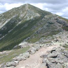
Echo Lake Beach offers swimming and boating with unobstructed views of Mount Lafayette rising directly across the water. Few visitors realize the lake itself provides a rare vantage point within the surrounding peaks.

The community of curious travelers

AroundUs brings together thousands of curated places, local tips, and hidden gems, enriched daily by 60,000 contributors worldwide.

Start exploring
Location
GPS coordinates
44.17070,-71.68810
Latest update
December 7, 2025 10:04
« Franconia Notch - Mountain pass in Grafton County, United States » is provided by Around Us (aroundus.com). Images and texts are derived from Wikimedia project under a Creative Commons license. You are allowed to copy, distribute, and modify copies of this page, under the conditions set by the license, as long as this note is clearly visible.

Discover hidden gems everywhere you go!

From secret cafés to breathtaking viewpoints, skip the crowded tourist spots and find places that match your style. Our app makes it easy with voice search, smart filtering, route optimization, and insider tips from travelers worldwide. Download now for the complete mobile experience.

Around Us App Screenshot

A unique approach to discovering new places

Le Figaro

All the places worth exploring

France Info

A tailor-made excursion in just a few clicks

20 Minutes

Around Us
Travel Guide & Maps
Download

Send to your phone

QR Code
1

Open the camera app on your mobile.

2

Point at the QR code with your camera. A notification will appear.

3

Tap the notification to open the link.