Chest opened
+${chestReward.xp} XP
Explorer
NOUVEAU ×${chestReward.collectible.quantity}
tapez pour fermer
Chest locked

Open chests in the app

Around Us is built for your phone — chests unlock when you walk, explore and capture nearby places.

Enable Location

We need your location to show you interesting places around you

Discover nearby places

Find interesting locations and hidden gems around you

Precise directions

Get accurate directions and distances to places

Your location is never shared with other users. It's only used when you tap the location button.

Log in to your account

Start exploring — it's free

Trusted by 72,952 travelers worldwide

Continue with Google
Continue with Apple
or

We will send you a code to connect

By continuing, you accept our Terms and Conditions and our Privacy Policy

Check your inbox

We've sent a pincode in your inbox. Please enter the code below.

General C. C. Andrews State Forest
Discussion Reviews Photo
1.7k Popularity

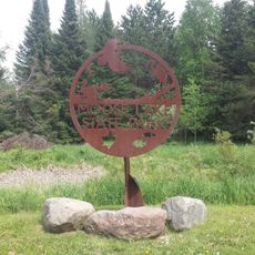
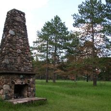
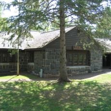
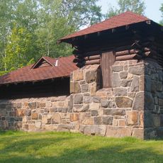
General C. C. Andrews State Forest, State forest in Pine County, Minnesota, United States.

General C. C. Andrews State Forest is a state forest in Pine County covering approximately 7,770 acres with rolling terrain and sandy soils. The forest features Jack Pine, Red Pine, Paper Birch, aspen, and Red Oak, creating a mixed woodland ecosystem.

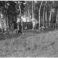
The forest was established in 1943 on land previously logged and considered unsuitable for agriculture because of its sandy composition. This reforestation of abandoned logged land represented a shift in how the region managed its natural resources.

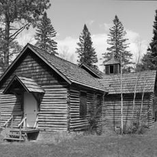
The forest is named after Major General Christopher Columbus Andrews, who championed scientific forest management as Minnesota's state Forestry Commissioner. Visitors can see how this philosophy continues to shape the way the land is maintained and used today.

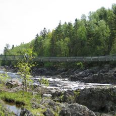
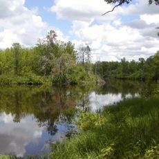
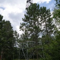
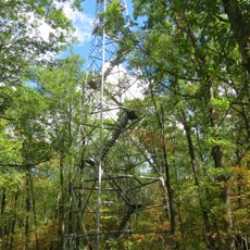
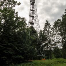
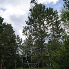
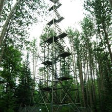
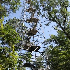
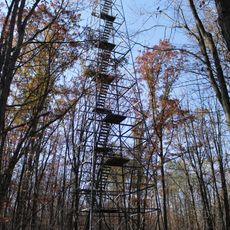
The forest offers about 40 miles of hiking trails and 37 miles of marked paths for all-terrain vehicles, providing diverse activity options. Visitors can also access the Willow River and enjoy winter recreation facilities.

The forest sits on extremely sandy soil once deemed worthless for farming, yet now supports a rare ecological community found in few other places. This specialized landscape with its sandy terrain hosts plants adapted to dry conditions that are uncommon elsewhere in the region.

The community of curious travelers

AroundUs brings together thousands of curated places, local tips, and hidden gems, enriched daily by 60,000 contributors worldwide.

Start exploring
Location
GPS coordinates
46.34439,-92.80326
Latest update
December 14, 2025 12:20
Around this place
Jay Cooke State Park
United States of America

Jay Cooke State Park

49.7 km
Banning State Park
United States of America

Banning State Park

20.4 km
R. W. Lindholm Service Station
United States of America

R. W. Lindholm Service Station

49.5 km
Pattison State Park
United States of America

Pattison State Park

56.1 km
St. Croix State Park
United States of America

St. Croix State Park

44.6 km
Big Manitou Falls
United States of America

Big Manitou Falls

56.5 km
Moose Lake State Park
United States of America

Moose Lake State Park

12 km
Rice Lake National Wildlife Refuge
United States of America

Rice Lake National Wildlife Refuge

45.9 km
Fond du Lac State Forest
United States of America

Fond du Lac State Forest

37 km
Church of Sts. Joseph and Mary-Catholic
United States of America

Church of Sts. Joseph and Mary-Catholic

39.9 km
Carlton County Courthouse
United States of America

Carlton County Courthouse

46 km
Bridge No. 5757
United States of America

Bridge No. 5757

53.6 km
Cloquet City Hall
United States of America

Cloquet City Hall

49.5 km
Arthyde Stone House
United States of America

Arthyde Stone House

22 km
Cloquet-Northern Office Building
United States of America

Cloquet-Northern Office Building

49.4 km
Hinckley Fire Museum
United States of America

Hinckley Fire Museum

38.2 km
Solana State Forest
United States of America

Solana State Forest

29.6 km
St. Croix Recreational Demonstration Area
United States of America

St. Croix Recreational Demonstration Area

47.4 km
St. Croix State Park Fire Tower
United States of America

St. Croix State Park Fire Tower

44.3 km
Swinging Bridge, Minnesota
United States of America

Swinging Bridge, Minnesota

47.8 km
White Pine Lookout Tower
United States of America

White Pine Lookout Tower

32.2 km
Nickerson Lookout Tower
United States of America

Nickerson Lookout Tower

22.4 km
Jay Cooke State Park CCC/Rustic Style Historic District‎
United States of America

Jay Cooke State Park CCC/Rustic Style Historic District‎

47.8 km
Cromwell Lookout Tower
United States of America

Cromwell Lookout Tower

40.5 km
Jay Cooke State Park CCC/WPA/Rustic Style Picnic Grounds
United States of America

Jay Cooke State Park CCC/WPA/Rustic Style Picnic Grounds

48.9 km
Cloquet Lookout Tower
United States of America

Cloquet Lookout Tower

43.8 km
Sandy Lake Lookout Tower
United States of America

Sandy Lake Lookout Tower

56.4 km
Pomroy Lookout Tower
United States of America

Pomroy Lookout Tower

48.9 km
Show the full map
Reviews
Share your experience

No review yet

Discussions
Start a discussion...

No discussion yet

« General C. C. Andrews State Forest - State forest in Pine County, Minnesota, United States » is provided by Around Us (aroundus.com). Images and texts are derived from Wikimedia project under a Creative Commons license. You are allowed to copy, distribute, and modify copies of this page, under the conditions set by the license, as long as this note is clearly visible.

Discover hidden gems everywhere you go!

From secret cafés to breathtaking viewpoints, skip the crowded tourist spots and find places that match your style. Our app makes it easy with voice search, smart filtering, route optimization, and insider tips from travelers worldwide. Download now for the complete mobile experience.

Around Us App Screenshot

A unique approach to discovering new places

Le Figaro

All the places worth exploring

France Info

A tailor-made excursion in just a few clicks

20 Minutes

Around Us
Travel Guide & Maps
Download

Send to your phone

QR Code
1

Open the camera app on your mobile.

2

Point at the QR code with your camera. A notification will appear.

3

Tap the notification to open the link.