Chest opened
+${chestReward.xp} XP
Explorer
NOUVEAU ×${chestReward.collectible.quantity}
tapez pour fermer
Chest locked

Open chests in the app

Around Us is built for your phone — chests unlock when you walk, explore and capture nearby places.

Enable Location

We need your location to show you interesting places around you

Discover nearby places

Find interesting locations and hidden gems around you

Precise directions

Get accurate directions and distances to places

Your location is never shared with other users. It's only used when you tap the location button.

Log in to your account

Start exploring — it's free

Trusted by 72,878 travelers worldwide

Continue with Google
Continue with Apple
or

We will send you a code to connect

By continuing, you accept our Terms and Conditions and our Privacy Policy

Check your inbox

We've sent a pincode in your inbox. Please enter the code below.

Green Bay metropolitan area
Discussion Reviews Photo
15k Popularity

Green Bay metropolitan area, Metropolitan statistical area in northeastern Wisconsin, US.

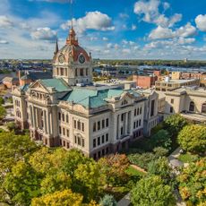
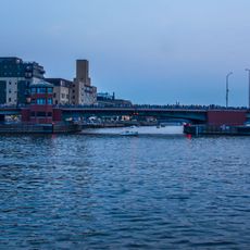
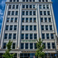
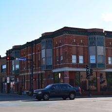
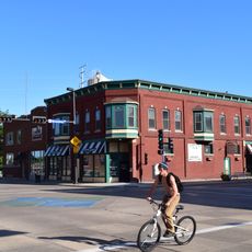
The Green Bay metropolitan area covers multiple counties in northeastern Wisconsin, forming one of the state's larger urban regions. It includes the core city of Green Bay alongside surrounding communities and extends across diverse landscapes.

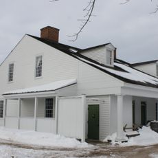
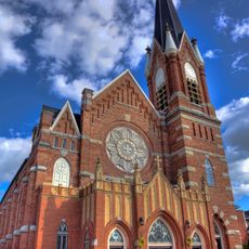
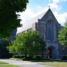
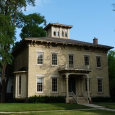
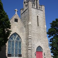
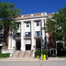
The area started as a French trading post in the 1600s and later grew through waves of German and Scandinavian settlement. These communities built the region's early industries and established patterns that continue to define it.

The region maintains strong connections to Native American communities, particularly the Oneida Nation whose reservation sits near the western edge. These ties shape local traditions and how neighborhoods remember their shared past.

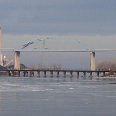
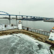
The region connects through major highways and an international airport, making it accessible for visitors arriving by car or plane. You'll find both urban services and outdoor spaces throughout the area, so there's always something nearby regardless of where you stay.

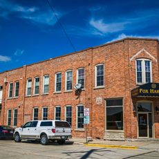
The area has deep roots in paper manufacturing and food processing, industries that shaped how residents view work and community identity. These economic foundations have remained surprisingly stable and competitive over many decades, drawing pride from what locals call heritage industries.

The community of curious travelers

AroundUs brings together thousands of curated places, local tips, and hidden gems, enriched daily by 60,000 contributors worldwide.

Start exploring
Location
GPS coordinates
44.51333,-88.01583
Latest update
March 5, 2026 16:38
Around this place
City Stadium
United States of America

City Stadium

1.9 km
Zippin Pippin
United States of America

Zippin Pippin

3.4 km
Hagemeister Park
United States of America

Hagemeister Park

2 km
Bay Beach Amusement Park
United States of America

Bay Beach Amusement Park

3.4 km
Leo Frigo Memorial Bridge
United States of America

Leo Frigo Memorial Bridge

2.3 km
Brown County Veterans Memorial Arena
United States of America

Brown County Veterans Memorial Arena

3.6 km
Fort Howard
United States of America

Fort Howard

381 m
United States of America

Neville Public Museum of Brown County

542 m
Brown County Courthouse
United States of America

Brown County Courthouse

140 m
Meyer Theatre
United States of America

Meyer Theatre

65 m
St. Willebrord Catholic Church
United States of America

St. Willebrord Catholic Church

125 m
Receiver
United States of America

Receiver

665 m
Ray Nitschke Memorial Bridge
United States of America

Ray Nitschke Memorial Bridge

561 m
The Tarlton Theatre
United States of America

The Tarlton Theatre

624 m
Grassy Island Range Lights
United States of America

Grassy Island Range Lights

2.7 km
Bellin Building
United States of America

Bellin Building

118 m
Broadway-Walnut Historic District
United States of America

Broadway-Walnut Historic District

773 m
CityDeck
United States of America

CityDeck

306 m
Hazelwood
United States of America

Hazelwood

1.4 km
Astor Historic District
United States of America

Astor Historic District

1.1 km
Joel S. Fisk House
United States of America

Joel S. Fisk House

1.1 km
Christ Episcopal Church Complex
United States of America

Christ Episcopal Church Complex

336 m
Freimann Hotel Building
United States of America

Freimann Hotel Building

358 m
Broadway-Dousman Historic District
United States of America

Broadway-Dousman Historic District

990 m
Neville Public Museum
United States of America

Neville Public Museum

568 m
Kellogg Public Library and Neville Public Museum
United States of America

Kellogg Public Library and Neville Public Museum

215 m
West Theatre
United States of America

West Theatre

616 m
Green Bay Downtown Historic District
United States of America

Green Bay Downtown Historic District

377 m
Show the full map
Reviews
Share your experience

No review yet

Discussions
Start a discussion...

No discussion yet

Administrative divisions
« Green Bay metropolitan area - Metropolitan statistical area in northeastern Wisconsin, US » is provided by Around Us (aroundus.com). Images and texts are derived from Wikimedia project under a Creative Commons license. You are allowed to copy, distribute, and modify copies of this page, under the conditions set by the license, as long as this note is clearly visible.

Discover hidden gems everywhere you go!

From secret cafés to breathtaking viewpoints, skip the crowded tourist spots and find places that match your style. Our app makes it easy with voice search, smart filtering, route optimization, and insider tips from travelers worldwide. Download now for the complete mobile experience.

Around Us App Screenshot

A unique approach to discovering new places

Le Figaro

All the places worth exploring

France Info

A tailor-made excursion in just a few clicks

20 Minutes

Around Us
Travel Guide & Maps
Download

Send to your phone

QR Code
1

Open the camera app on your mobile.

2

Point at the QR code with your camera. A notification will appear.

3

Tap the notification to open the link.