
Kay Moor, human settlement in Fayette County, West Virginia, United States of America
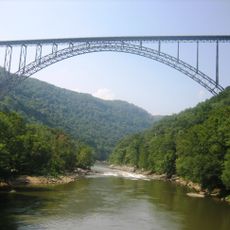
New River Gorge Bridge
2.8 km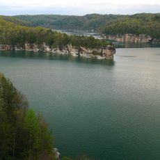
Summersville Lake
24.8 km
Hawks Nest State Park
10 km
Babcock State Park
12.9 km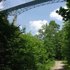
Phil G. McDonald Bridge
31.2 km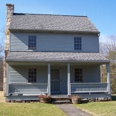
Carnifex Ferry Battlefield State Park
21.1 km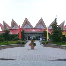
Tamarack Marketplace
30.5 km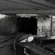
Phillips-Sprague Mine
31.5 km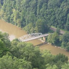
Tunney Hunsaker Bridge
2.2 km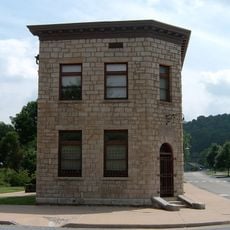
Bank of Glen Jean
15.5 km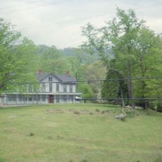
Page-Vawter House
10.4 km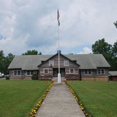
Camp Washington-Carver Complex
9.3 km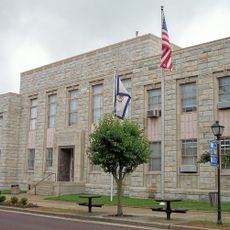
Beckley Courthouse Square Historic District
32.1 km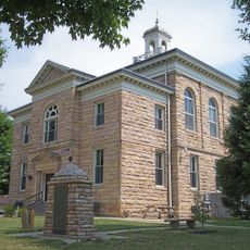
Nicholas County Courthouse
30.3 km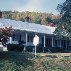
Contentment
10.3 km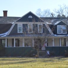
E. B. Hawkins House
3 km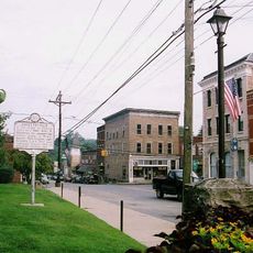
Fayetteville Historic District
3.7 km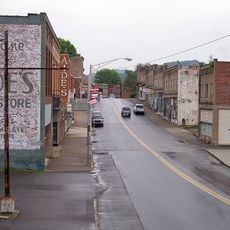
Mount Hope Historic District
19.5 km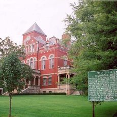
Fayette County Courthouse
3.5 km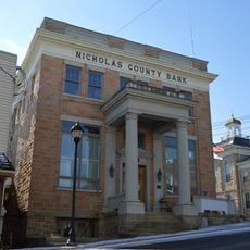
Nicholas County Bank
32 km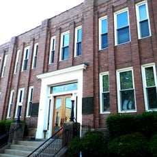
New River Company General Office Building
19 km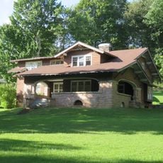
Dr. John Hughart House
14.1 km
Earl M. Vickers Bridge
26.7 km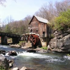
Glade Creek Grist Mill
12.8 km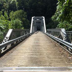
Fayette Station Road
2.5 km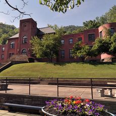
Main Building
27.1 km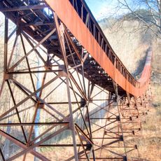
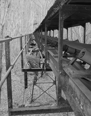
Nuttall Coal Mine Conveyor
2 km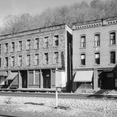
Thurmond Historic District
10.1 kmReviews
Visited this place? Tap the stars to rate it and share your experience / photos with the community! Try now! You can cancel it anytime.
Discover hidden gems everywhere you go!
From secret cafés to breathtaking viewpoints, skip the crowded tourist spots and find places that match your style. Our app makes it easy with voice search, smart filtering, route optimization, and insider tips from travelers worldwide. Download now for the complete mobile experience.

A unique approach to discovering new places❞
— Le Figaro
All the places worth exploring❞
— France Info
A tailor-made excursion in just a few clicks❞
— 20 Minutes