Chest opened
+${chestReward.xp} XP
Explorer
NOUVEAU ×${chestReward.collectible.quantity}
tapez pour fermer

See the monuments around you in AR Open chests in the app

Around Us is built for your phone — point your camera at the streets and discover the monuments and places around you in augmented reality. Around Us is built for your phone — chests unlock when you walk, explore and capture nearby places.

Enable Location

We need your location to show you interesting places around you

Discover nearby places

Find interesting locations and hidden gems around you

Precise directions

Get accurate directions and distances to places

Your location is never shared with other users. It's only used when you tap the location button.

Log in to your account

Start exploring — it's free

Trusted by 86,581 travelers worldwide

Continue with Google
Continue with Apple
or

We will send you a code to connect

By continuing, you accept our Terms and Conditions and our Privacy Policy

Check your inbox

We've sent a pincode in your inbox. Please enter the code below.

Knockemstiff
Discussion Reviews Photo
27.4k Popularity

Knockemstiff, Ghost town in Ross County, Ohio, United States

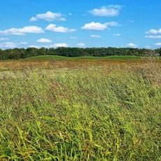
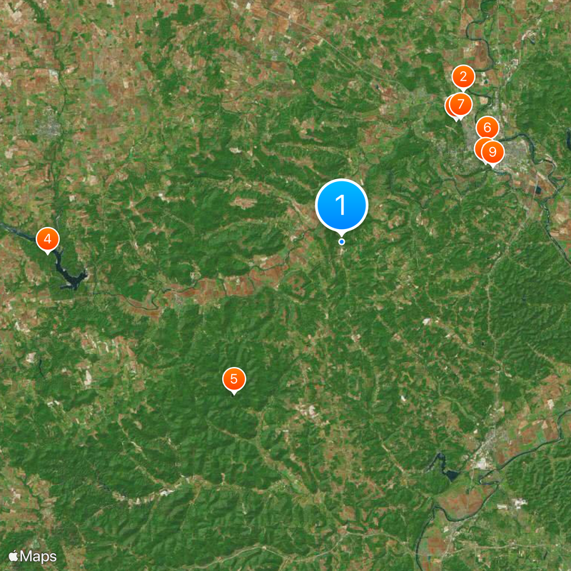
Knockemstiff is a ghost town in Ross County, Ohio, located at the junction of Black Run Road and Shady Glen Road. The area today consists mainly of scattered houses surrounded by farmland, with no clear town center or commercial services.

The settlement began in the early 1900s as a farming community and reached its peak population in the 1950s. Many residents later left for work in cities, causing the town to gradually empty out and decline.

Author Donald Ray Pollock grew up here and used his personal experiences from this rural area as material for his novels and short stories. His literary works offer readers a window into the lives of people in farming communities across Ohio.

The area has no signage, shops, restaurants, or services within the immediate vicinity. Visitors should arrive by car and be prepared for exploring a rural landscape with limited facilities.

The name may come from the bar fights that once happened frequently in this area. Another account traces it to a woman's angry confrontation with a preacher over her unfaithful husband.

The community of curious travelers

AroundUs brings together thousands of curated places, local tips, and hidden gems, enriched daily by 60,000 contributors worldwide.
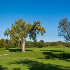
Start exploring
Location
GPS coordinates
39.26780,-83.11910
Latest update
September 12, 2026 07:54
Around this place
Hopewell Culture National Historical Park
United States of America

Hopewell Culture National Historical Park

10.8 mi
Adena Mansion
United States of America

Adena Mansion

8.3 mi
Paint Creek State Park
United States of America

Paint Creek State Park

14.5 mi
Pike Lake State Park
United States of America

Pike Lake State Park

9.2 mi
Yoctangee Park
United States of America

Yoctangee Park

8.7 mi
Adena Mound
United States of America

Adena Mound

8.5 mi
Grandview Cemetery
United States of America

Grandview Cemetery

8.1 mi
Mary Worthington Macomb House
United States of America

Mary Worthington Macomb House

8.3 mi
Mountain House
United States of America

Mountain House

8.1 mi
South Salem Academy
United States of America

South Salem Academy

11.3 mi
Seip House
United States of America

Seip House

8.4 mi
Renick House
United States of America

Renick House

7.9 mi
Tanglewood
United States of America

Tanglewood

8.1 mi
Samuel Smith House and Tannery
United States of America

Samuel Smith House and Tannery

15.1 mi
South Salem Covered Bridge
United States of America

South Salem Covered Bridge

11.4 mi
Anthony and Susan Cardinal Walke House
United States of America

Anthony and Susan Cardinal Walke House

8 mi
Levi Anderson House
United States of America

Levi Anderson House

6.8 mi
Canal Warehouse
United States of America

Canal Warehouse

8.8 mi
Vanmeter Church Street House
United States of America

Vanmeter Church Street House

8.3 mi
Chillicothe Water and Power Company Pumping Station
United States of America

Chillicothe Water and Power Company Pumping Station

8.9 mi
Mighty Children's Museum
United States of America

Mighty Children's Museum

8.6 mi
Lake White State Park
United States of America

Lake White State Park

12.9 mi
Scioto Trail State Park
United States of America

Scioto Trail State Park

9.4 mi
Oak Hill
United States of America

Oak Hill

6.5 mi
Hopeton Earthworks
United States of America

Hopeton Earthworks

10.7 mi
Ross County Historical Society
United States of America

Ross County Historical Society

8.5 mi
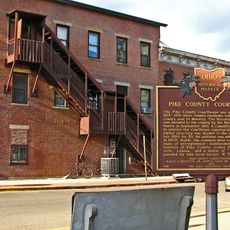
Pike County Courthouse
United States of America

Pike County Courthouse

12.2 mi
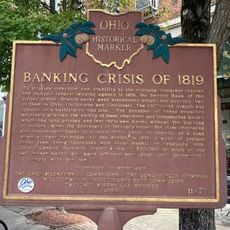
Banking Crisis of 1819
United States of America

Banking Crisis of 1819

8.7 mi
Show the full map
Reviews
Share your experience

No review yet

Discussions
Start a discussion...

No discussion yet

« Knockemstiff - Ghost town in Ross County, Ohio, United States » is provided by Around Us (aroundus.com). Images and texts are derived from Wikimedia project under a Creative Commons license. You are allowed to copy, distribute, and modify copies of this page, under the conditions set by the license, as long as this note is clearly visible.

Discover hidden gems everywhere you go!

From secret cafés to breathtaking viewpoints, skip the crowded tourist spots and find places that match your style. Our app makes it easy with voice search, smart filtering, route optimization, and insider tips from travelers worldwide. Download now for the complete mobile experience.
Around Us App Screenshot

A unique approach to discovering new places

Le Figaro

All the places worth exploring

France Info

A tailor-made excursion in just a few clicks

20 Minutes

Around Us
Travel Guide & Maps
Download

Send to your phone

QR Code
1

Open the camera app on your mobile.

2

Point at the QR code with your camera. A notification will appear.

3

Tap the notification to open the link.