Lynn Common Historic District

Log in to your account

AroundUs is a community-driven map of interesting places, built by curious explorers like you. It grows with every review, story, and photo you share.
Connect to save your favorite spots, contribute locations, and create personalized routes.
Continue with Google
Continue with Apple
Continue with X
Continue with Facebook
Continue with email
By continuing, you accept our Terms and Conditions and our Privacy Policy
Create an account
Add to collection
Map
Suggest a change
Share

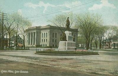
Lynn Common Historic District, Historic district in Lynn, Massachusetts.

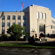
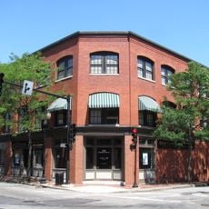
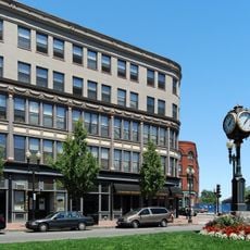
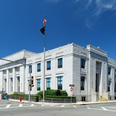
The Lynn Common Historic District extends along North and South Common Streets, bringing together residential buildings, municipal structures, and green spaces arranged in a park-like setting. The area connects Market Square on its western side to City Hall Square on its eastern side, serving as the town's civic center.

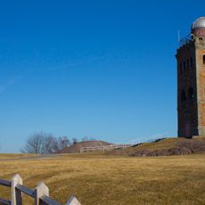
The common was established in 1637 as shared grazing land for the community's livestock. During the 1800s, it transformed from working farmland into a formal public park, becoming the heart of the expanding town.

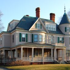
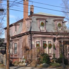
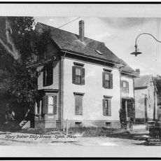
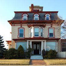
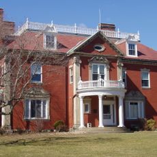
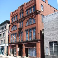
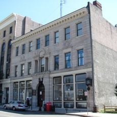
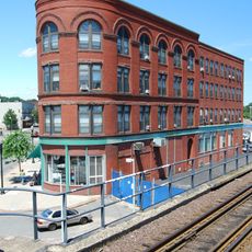
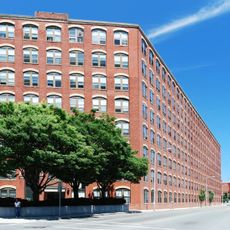
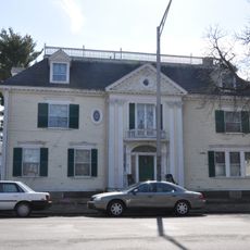
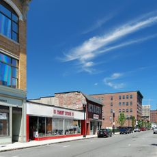
The district displays a mix of architectural styles that reflect how the town grew over many generations, from Federal to Queen Anne houses showing different periods of development. The Colonial Revival apartment buildings from the early 1900s reveal how the community housed its wealthier residents at that time.

The district is easy to walk through since the streets follow a regular pattern and there are multiple entry points from surrounding blocks. Visiting early in the day or late in the afternoon helps you photograph the buildings in better light and avoid the busier times.

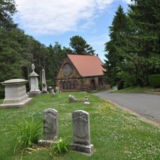
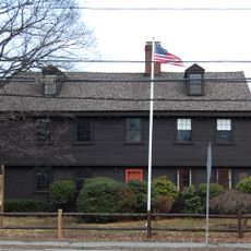
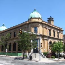
Several buildings within the district, including St. Stephen's Memorial Episcopal Church and the main library, hold their own separate listings on the National Register of Historic Places. This individual recognition highlights their special architectural and cultural importance beyond the district itself.

Location: Massachusetts

GPS coordinates: 42.46361,-70.95778

Latest update: December 14, 2025 18:03

Photos
Around this place
Nahant Beach Reservation
United States of America

Nahant Beach Reservation

2.3 km
United States of America

River Works

1.7 km
Pine Grove Cemetery
United States of America

Pine Grove Cemetery

1.6 km
Fraser Field
United States of America

Fraser Field

1.2 km
Lynn Shore Reservation
United States of America

Lynn Shore Reservation

2.2 km
High Rock Tower Reservation
United States of America

High Rock Tower Reservation

891 m
Diamond Historic District
United States of America

Diamond Historic District

2.1 km
Lynn Memorial City Hall and Auditorium
United States of America

Lynn Memorial City Hall and Auditorium

514 m
John Humphreys House
United States of America

John Humphreys House

3.4 km
Lynn Heritage State Park
United States of America

Lynn Heritage State Park

1.1 km
Lydia Pinkham House
United States of America

Lydia Pinkham House

1.5 km
Nahant Beach Boulevard
United States of America

Nahant Beach Boulevard

3.4 km
Mary Baker Eddy House
United States of America

Mary Baker Eddy House

1.9 km
Lucian Newhall House
United States of America

Lucian Newhall House

1.8 km
Elihu Thomson House
United States of America

Elihu Thomson House

3.3 km
English High School
United States of America

English High School

920 m
Lynn Masonic Hall
United States of America

Lynn Masonic Hall

662 m
G.A.R. Hall and Museum
United States of America

G.A.R. Hall and Museum

804 m
Lynn Bank Block
United States of America

Lynn Bank Block

1.2 km
Central Square Historic District
United States of America

Central Square Historic District

1 km
Old Post Office Building
United States of America

Old Post Office Building

785 m
Fabens Building
United States of America

Fabens Building

1.1 km
Vamp Building
United States of America

Vamp Building

876 m
Charles Lovejoy House
United States of America

Charles Lovejoy House

1.6 km
Tapley Building
United States of America

Tapley Building

1.1 km
United States Post Office–Lynn Main
United States of America

United States Post Office–Lynn Main

925 m
Munroe Street Historic District
United States of America

Munroe Street Historic District

804 m
General Edwards Bridge
United States of America

General Edwards Bridge

2.3 km
Show the full map
Reviews

Visited this place? Tap the stars to rate it and share your experience / photos with the community! Try now! You can cancel it anytime.

« Lynn Common Historic District - Historic district in Lynn, Massachusetts » is provided by Around Us (aroundus.com). Images and texts are derived from Wikimedia project under a Creative Commons license. You are allowed to copy, distribute, and modify copies of this page, under the conditions set by the license, as long as this note is clearly visible.

Discover hidden gems everywhere you go!

From secret cafés to breathtaking viewpoints, skip the crowded tourist spots and find places that match your style. Our app makes it easy with voice search, smart filtering, route optimization, and insider tips from travelers worldwide. Download now for the complete mobile experience.

Around Us App Screenshot

A unique approach to discovering new places

Le Figaro

All the places worth exploring

France Info

A tailor-made excursion in just a few clicks

20 Minutes