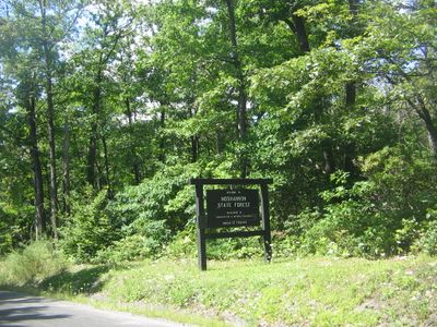
Moshannon State Forest, State forest in Clearfield and Centre counties, Pennsylvania.
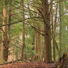
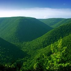
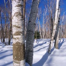
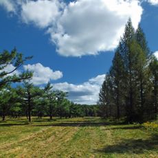
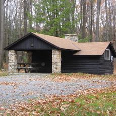
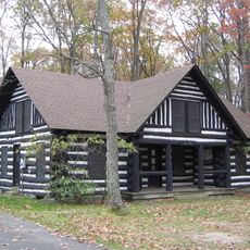
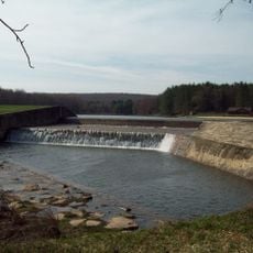
Moshannon State Forest is a state-managed woodland on the Allegheny Plateau in central Pennsylvania, made up of mixed hardwood forests and large wetland areas. The terrain shifts between forested ridges, streams, and boggy lowlands spread across two counties.
In the late 1800s, timber companies cut down nearly all the old-growth trees in this region, leaving the land bare and eroded. The state began acquiring the land in the 1930s to bring the forest back.
The name Moshannon comes from a Native American word meaning moose stream, pointing to the animals that once lived in this area. Moose can still be spotted near the wetlands, making that old name feel surprisingly current.
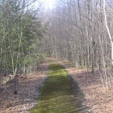
Conditions in the forest can change quickly with the season, so checking local information before heading out is a good habit. Some trails are remote and not heavily marked, so a map and sturdy footwear go a long way.
In 1985, an F4 tornado tore through parts of the forest and knocked down around 88,000 trees in a matter of minutes. Those open patches grew back differently from the surrounding forest, and the contrast is still visible today.
The community of curious travelers
AroundUs brings together thousands of curated places, local tips, and hidden gems, enriched daily by 60,000 contributors worldwide.