Napatree Point, Sandy landform in Watch Hill, Rhode Island, United States.
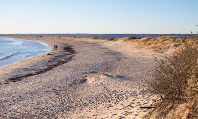
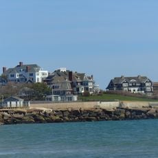
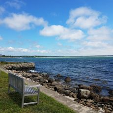
Napatree Point is a sandy peninsula extending westward from Watch Hill village, creating a protected harbor at Rhode Island's southern mainland edge. The landscape features dunes, beaches, and coastal plant communities that shift and reshape with seasonal weather patterns.
A major hurricane in 1938 dramatically reshaped this coastal area, separating Sandy Point from the mainland through powerful storm surge. This event fundamentally altered the peninsula's geography and created its current outline.
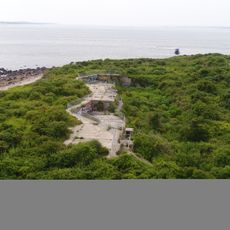
The Watch Hill community maintains this natural space as both a wildlife preserve and public beach, emphasizing environmental protection and public recreation.
The area is accessible by foot, but visitors should bring water and supplies since facilities are limited on-site. Certain zones are restricted to protect nesting birds, so it is important to stay on designated paths.
The name originates from 'Nap of Trees,' referencing the dense woodland that covered the point until its destruction by the Great September Gale of 1815.
The community of curious travelers
AroundUs brings together thousands of curated places, local tips, and hidden gems, enriched daily by 60,000 contributors worldwide.