Chest opened
+${chestReward.xp} XP
Explorer
NOUVEAU ×${chestReward.collectible.quantity}
tapez pour fermer
Chest locked

Open chests in the app

Around Us is built for your phone — chests unlock when you walk, explore and capture nearby places.

Enable Location

We need your location to show you interesting places around you

Discover nearby places

Find interesting locations and hidden gems around you

Precise directions

Get accurate directions and distances to places

Your location is never shared with other users. It's only used when you tap the location button.

Log in to your account

Start exploring — it's free

Trusted by 73,012 travelers worldwide

Continue with Google
Continue with Apple
or

We will send you a code to connect

By continuing, you accept our Terms and Conditions and our Privacy Policy

Check your inbox

We've sent a pincode in your inbox. Please enter the code below.

Ohio's 4th congressional district
Discussion Reviews Photo
90.4k Popularity

Ohio's 4th congressional district, Congressional district in central Ohio, United States

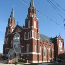
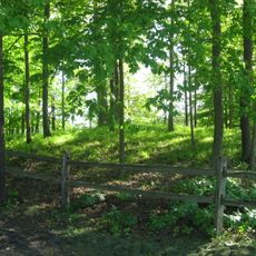
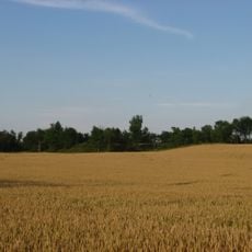
Ohio's 4th congressional district is an electoral area in the central and northern part of the state, covering multiple counties. Its boundaries stretch across land with small towns, cropland and few larger settlements grouped around local administrative centers.

The area was created on March 4, 1813, and elected James Caldwell as its first representative from the Democratic-Republican Party. Its boundaries shifted several times over the decades to reflect population changes and new census data.

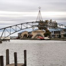
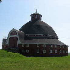
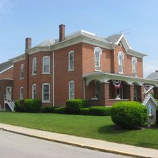
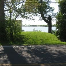
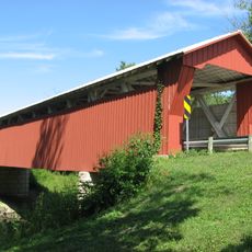
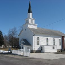
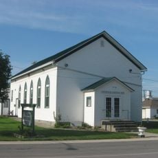
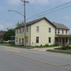
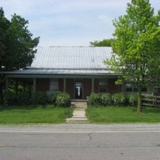
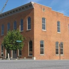
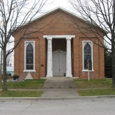
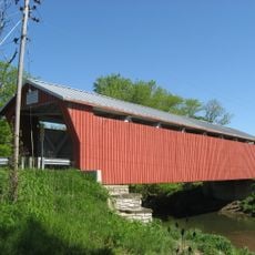
The name comes from the designation of the fourth electoral area in the state of Ohio, covering rural communities across several counties. Visitors notice wooden homes and open farmland that shape daily life in small towns and on family-run properties.

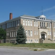
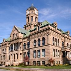
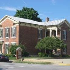
Travelers in the area find post offices and public buildings in county seats, where they can also learn about local administration. Most places are easiest to reach by car, as public transit options remain limited across the region.

Jim Jordan has represented this area since 2007, giving the Republican Party long continuity in the seat. This stability shapes local political conversations and the issues communities focus on day to day.

The community of curious travelers

AroundUs brings together thousands of curated places, local tips, and hidden gems, enriched daily by 60,000 contributors worldwide.

Start exploring
Location
GPS coordinates
40.50000,-83.96667
Latest update
December 19, 2025 21:50
Around this place
Indian Lake
United States of America

Indian Lake

8.5 km
Neil Armstrong Air and Space Museum
United States of America

Neil Armstrong Air and Space Museum

18.7 km
J.H. Manchester Round Barn
United States of America

J.H. Manchester Round Barn

9.1 km
Blume High School
United States of America

Blume High School

20.8 km
St. Joseph's Catholic Church
United States of America

St. Joseph's Catholic Church

20.8 km
Dunns Pond Mound
United States of America

Dunns Pond Mound

9.2 km
Zimmerman Kame
United States of America

Zimmerman Kame

14.9 km
Immaculate Conception Catholic Church
United States of America

Immaculate Conception Catholic Church

18.6 km
Auglaize County Courthouse
United States of America

Auglaize County Courthouse

20.7 km
Lake Ridge Island Mounds
United States of America

Lake Ridge Island Mounds

9.1 km
McColly Covered Bridge
United States of America

McColly Covered Bridge

11.6 km
Emanuel Lutheran Church of Montra
United States of America

Emanuel Lutheran Church of Montra

13.1 km
Uniopolis Town Hall
United States of America

Uniopolis Town Hall

15.3 km
John H. Nichols House
United States of America

John H. Nichols House

20.9 km
Shelby House
United States of America

Shelby House

19 km
Hugh T. Rinehart House
United States of America

Hugh T. Rinehart House

12.5 km
Charles Wintzer Building
United States of America

Charles Wintzer Building

21 km
First Presbyterian Church of Wapakoneta
United States of America

First Presbyterian Church of Wapakoneta

21 km
United States of America

The Temple Of Tolerance

20 km
United States of America

Indian Lake State Park

8.8 km
United States of America

Wapakoneta Commercial Historic District

20.8 km
Bickham Covered Bridge
United States of America

Bickham Covered Bridge

11.1 km
Sandy Beach Amusement Park
United States of America

Sandy Beach Amusement Park

6.7 km
United States of America

Cherokee Hills Golf Course

19.9 km
United States of America

Prairie View Golf Club

11 km
United States of America

Riverside Art Center

20.8 km
United States of America

Sun Valley Family Campground

20.6 km
United States of America

Temple of Tolerance Rock Garden

20 km
Show the full map
Reviews
Share your experience

No review yet

Discussions
Start a discussion...

No discussion yet

« Ohio's 4th congressional district - Congressional district in central Ohio, United States » is provided by Around Us (aroundus.com). Images and texts are derived from Wikimedia project under a Creative Commons license. You are allowed to copy, distribute, and modify copies of this page, under the conditions set by the license, as long as this note is clearly visible.

Discover hidden gems everywhere you go!

From secret cafés to breathtaking viewpoints, skip the crowded tourist spots and find places that match your style. Our app makes it easy with voice search, smart filtering, route optimization, and insider tips from travelers worldwide. Download now for the complete mobile experience.

Around Us App Screenshot

A unique approach to discovering new places

Le Figaro

All the places worth exploring

France Info

A tailor-made excursion in just a few clicks

20 Minutes

Around Us
Travel Guide & Maps
Download

Send to your phone

QR Code
1

Open the camera app on your mobile.

2

Point at the QR code with your camera. A notification will appear.

3

Tap the notification to open the link.