Chest opened
+${chestReward.xp} XP
Explorer
NOUVEAU ×${chestReward.collectible.quantity}
tapez pour fermer

See the monuments around you in AR Open chests in the app

Around Us is built for your phone — point your camera at the streets and discover the monuments and places around you in augmented reality. Around Us is built for your phone — chests unlock when you walk, explore and capture nearby places.

Enable Location

We need your location to show you interesting places around you

Discover nearby places

Find interesting locations and hidden gems around you

Precise directions

Get accurate directions and distances to places

Your location is never shared with other users. It's only used when you tap the location button.

Harry S. Truman Reservoir

Log in to your account

Start exploring — it's free

Trusted by 87,094 travelers worldwide

Continue with Google
Continue with Apple
or

We will send you a code to connect

By continuing, you accept our Terms and Conditions and our Privacy Policy

Check your inbox

We've sent a pincode in your inbox. Please enter the code below.

Harry S. Truman Reservoir
Discussion Reviews 1 Photos
31.5k Popularity

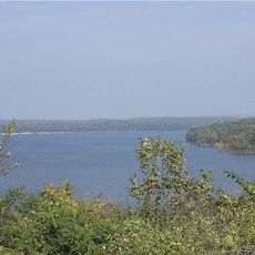
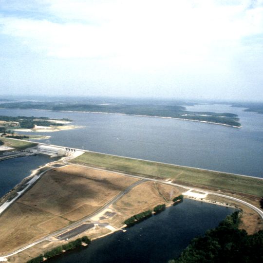
Harry S. Truman Reservoir, Flood control reservoir in central Missouri, United States.

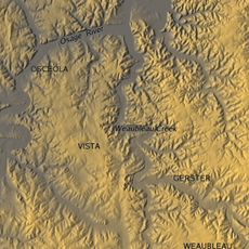
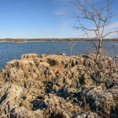
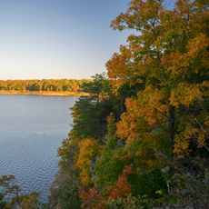
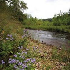
Truman Reservoir is a large body of water in central Missouri, created by an earthen dam on the Osage River. The surface covers roughly 55,600 acres (about 225 square kilometers), surrounded by wooded hills and gentle shorelines where many coves and inlets cut into the landscape.

Construction started in 1964 under the name Kaysinger Bluff Dam and was later renamed to honor President Harry S. Truman. The dam was built to control flooding along the Osage River and the Missouri River, preventing the regular spring floods that had occurred for decades.

The Regional Visitor Center presents exhibits about the lake's natural history, environmental activities, and technical operations through a 67-seat theater.

The visitor center provides information about recreational opportunities around the lake, while several marinas along the shoreline offer access to the water. The wooded areas surrounding the reservoir have marked trails and campsites suitable for extended stays.

During flood events, the water level rises significantly and the surface can expand to as much as 200,000 acres (about 810 square kilometers). This enormous change temporarily transforms quiet coves into wide expanses of water and submerges parts of the shoreline vegetation.

The community of curious travelers

AroundUs brings together thousands of curated places, local tips, and hidden gems, enriched daily by 60,000 contributors worldwide.
Start exploring
Location
GPS coordinates
38.18661,-93.40505
Latest update
September 16, 2026 17:19
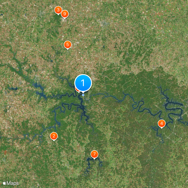
Around this place
Pomme de Terre Lake
United States of America

Pomme de Terre Lake

20.2 mi
Weaubleau structure
United States of America

Weaubleau structure

18.8 mi
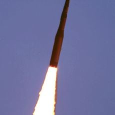
510th Missile Squadron
United States of America

510th Missile Squadron

38.4 mi
Pomme de Terre State Park
United States of America

Pomme de Terre State Park

22.3 mi
Harry S Truman State Park
United States of America

Harry S Truman State Park

6.6 mi
509th Missile Squadron
United States of America

509th Missile Squadron

38.4 mi
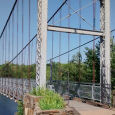
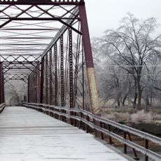
Upper Bridge
United States of America

Upper Bridge

4.1 mi
Caplinger Mills Historic District
United States of America

Caplinger Mills Historic District

34.7 mi
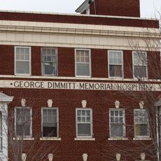
George Dimmitt Memorial Hospital
United States of America

George Dimmitt Memorial Hospital

28.7 mi
Fiery Fork Conservation Area
United States of America

Fiery Fork Conservation Area

25.4 mi
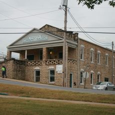
Stockton Community Building
United States of America

Stockton Community Building

39.8 mi
Glasgow Commercial Historic District
United States of America

Glasgow Commercial Historic District

24.2 mi
South Main Street Historic District
United States of America

South Main Street Historic District

15.3 mi
Henry County Museum
United States of America

Henry County Museum

24 mi
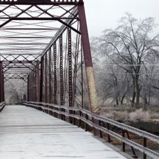
Caplinger Mills Bridge
United States of America

Caplinger Mills Bridge

34.7 mi
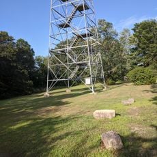
Climax Springs Fire Tower
United States of America

Climax Springs Fire Tower

21.2 mi
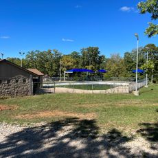
Lone Star Swimming Pool
United States of America

Lone Star Swimming Pool

11.2 mi
United States of America

Minuteman

38.2 mi
United States of America

Scenic viewpoint

5.7 mi
United States of America

Scenic viewpoint

6 mi
United States of America

Scenic viewpoint

21.2 mi
United States of America

Monument featuring aircraft

37.6 mi
United States of America

A-10

38.3 mi
United States of America

Northrop T-38A Talon

38.9 mi
United States of America

General Dynamics FB-111A

38.9 mi
United States of America

North American F-100D Super Sabre

38.2 mi
United States of America

McDonnell Douglas F-15A Eagle

38.2 mi
United States of America

McDonnell F-4E Phantom II

38.2 mi
Show the full map
Reviews
Share your experience

No review yet

Discussions
Start a discussion...

No discussion yet

« Harry S. Truman Reservoir - Flood control reservoir in central Missouri, United States » is provided by Around Us (aroundus.com). Images and texts are derived from Wikimedia project under a Creative Commons license. You are allowed to copy, distribute, and modify copies of this page, under the conditions set by the license, as long as this note is clearly visible.

Discover hidden gems everywhere you go!

From secret cafés to breathtaking viewpoints, skip the crowded tourist spots and find places that match your style. Our app makes it easy with voice search, smart filtering, route optimization, and insider tips from travelers worldwide. Download now for the complete mobile experience.

Around Us App Screenshot

A unique approach to discovering new places

Le Figaro

All the places worth exploring

France Info

A tailor-made excursion in just a few clicks

20 Minutes

Around Us
Travel Guide & Maps
Download

Send to your phone

QR Code
1

Open the camera app on your mobile.

2

Point at the QR code with your camera. A notification will appear.

3

Tap the notification to open the link.