
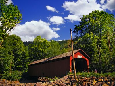
Sonestown Covered Bridge
Sonestown Covered Bridge, Covered bridge in Davidson Township, Pennsylvania, United States.
The Sonestown Covered Bridge spans 34 meters across Muncy Creek, featuring wooden construction and the distinctive Burr Truss architectural design pattern.
Built in the 1850s, this bridge represents a vital transportation link that supported the growth of rural communities in Sullivan County during the nineteenth century.
The National Register of Historic Places listed this structure in 1980, marking its role in preserving Pennsylvania's architectural and engineering accomplishments.
The bridge design incorporated protective wooden coverings to shield the structural components from rain, snow, and weather elements, extending its functional lifespan.
The Burr Truss design combines multiple diagonal beams with vertical posts, creating a robust support system that has maintained the bridge's integrity for over 170 years.
Location: Davidson Township
Architectural style: Burr Truss
Length: 34 m
GPS coordinates: 41.34639,-76.55500
Latest update: September 23, 2025 16:45
Ricketts Glen State Park
24.6 km
Worlds End State Park
14 km
Clemuel Ricketts Mansion
19.6 km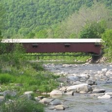
Forksville Covered Bridge
16.2 km
Hillsgrove Covered Bridge
16 km
Loyalsock State Forest
22.9 km
Plunketts Creek Bridge No. 3
21.8 km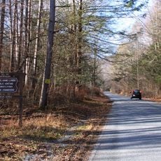
State Game Lands Number 13
11.4 km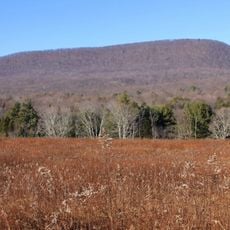
Central Mountain
18.2 km
Carl E. Stotz Memorial Little League Bridge
23.1 km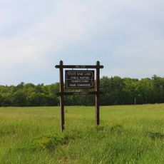
State Game Lands Number 226
24.2 km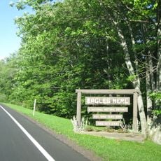
Eagles Mere Historic District
8.1 km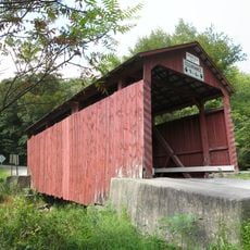
Creasyville Covered Bridge
16.9 km
Sullivan County Courthouse
10 km
Eagles Mere Air Museum
8 km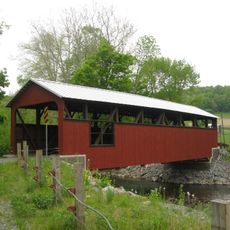
Lairdsville Covered Bridge
16.9 km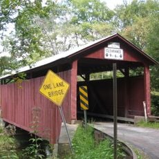
Sam Eckman Covered Bridge No. 92
19.6 km
Lake Rose
21.8 km
Muncy Historic District
25 km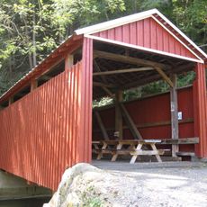
Shoemaker Covered Bridge
21.8 km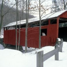
Y Covered Bridge No. 156
17.1 km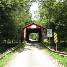
Jud Christie Covered Bridge No. 95
18.1 km
Cox Run
21.9 km
Trout Pond Park
21.2 km
Worlds End State Park Family Cabin District
13.5 km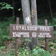
Loyalsock Trail
9.2 km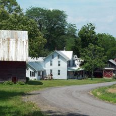
Houseknecht Farm
20.3 km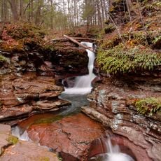
Adams Falls
24.1 kmReviews
Visited this place? Tap the stars to rate it and share your experience / photos with the community! Try now! You can cancel it anytime.
Discover hidden gems everywhere you go!
From secret cafés to breathtaking viewpoints, skip the crowded tourist spots and find places that match your style. Our app makes it easy with voice search, smart filtering, route optimization, and insider tips from travelers worldwide. Download now for the complete mobile experience.

A unique approach to discovering new places❞
— Le Figaro
All the places worth exploring❞
— France Info
A tailor-made excursion in just a few clicks❞
— 20 Minutes