
Veterans Memorial Bridge, girder bridge connecting the North Side and South Side neighborhoods of Oil City, Pennsylvania
Location: Pennsylvania
Inception: 1990
Official opening: 1990
GPS coordinates: 41.43110,-79.70910
Latest update: March 14, 2025 17:48
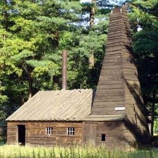
Drake Well
20.5 km
Pithole
14.8 km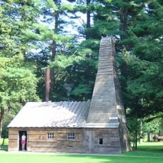
Drake Well Museum
20.5 km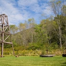
Oil Creek State Park
9.6 km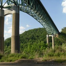
Emlenton Bridge
28.6 km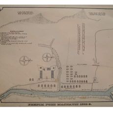
Fort Machault
10.7 km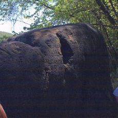
Indian God Rock
14.8 km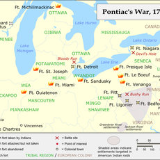
Fort Venango
10.5 km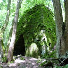
Rockland Furnace
22.2 km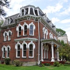
Samuel F. Dale House
11.1 km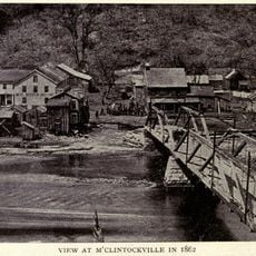
McClintocksville, Pennsylvania
13.5 km
Pithole Stone Arch Bridge
11.3 km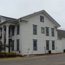
Titusville City Hall
22 km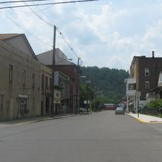
Emlenton Historic District
28 km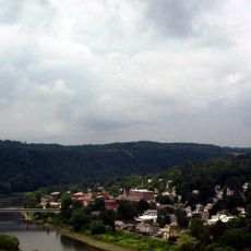
Emlenton Low Level Bridge
28.4 km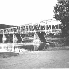
West Hickory Bridge
29.6 km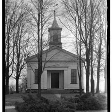
Allegheny Baptist Church
21.4 km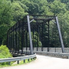
Jersey Bridge
21 km
Bridge in Oil Creek Township
22.1 km
Connely-Holeman House
20.5 km
Titusville Historic District
22.3 km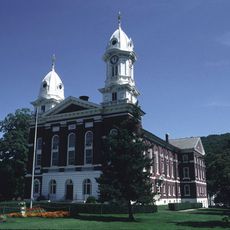
Franklin Historic District
11 km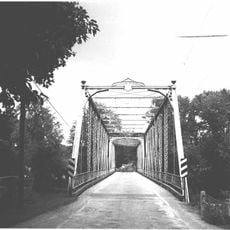
Bridge in French Creek Township
26.2 km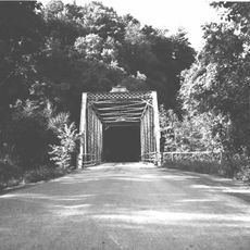
Bridge in Clinton Township
24.7 km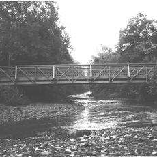
Witherup Bridge
22.5 km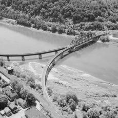
Oil City Pennsylvania Railroad Bridge
1.3 km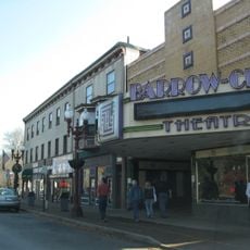
Barrow Civic Theater
10.7 km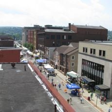
Oil City Downtown Commercial Historic District
503 mReviews
Visited this place? Tap the stars to rate it and share your experience / photos with the community! Try now! You can cancel it anytime.
Discover hidden gems everywhere you go!
From secret cafés to breathtaking viewpoints, skip the crowded tourist spots and find places that match your style. Our app makes it easy with voice search, smart filtering, route optimization, and insider tips from travelers worldwide. Download now for the complete mobile experience.

A unique approach to discovering new places❞
— Le Figaro
All the places worth exploring❞
— France Info
A tailor-made excursion in just a few clicks❞
— 20 Minutes