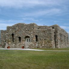
Verendrye National Monument, National Monument at Crow Flies High Butte, North Dakota, United States.
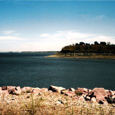
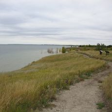
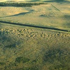
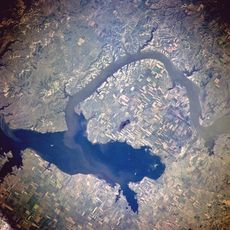
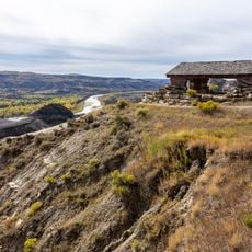
Verendrye National Monument sits on Crow Flies High Butte, a raised ridge rising roughly 565 feet above the surrounding plains. The location offers views of the Missouri River, Lake Sakakawea, and the tribal lands that make up the Fort Berthold Indian Reservation.
The monument was established in 1906 to honor the explorations of French-Canadian explorer Pierre Gaultier de Varennes and his sons in the upper Missouri region. Parts of the original protected land later went underwater when Lake Sakakawea formed behind the dam built starting in 1953.
The site marks where French fur trade networks met the lands of the Mandan, Hidatsa, and Arikara peoples who have lived in this region for generations. Visitors can observe how these different trading routes and cultures intersected at this location.
The site sits within the Fort Berthold Indian Reservation, so respect for tribal lands and any posted guidelines is important when visiting. Spring and fall offer the best conditions for seeing the views, as the weather is milder and visibility across the lake is clearer.
The monument's original land was transferred to North Dakota in 1956, but significant portions had already gone underwater before that transfer happened. This flooding from the dam project dramatically changed what visitors can access and experience at the site today compared to its original extent.
The community of curious travelers
AroundUs brings together thousands of curated places, local tips, and hidden gems, enriched daily by 60,000 contributors worldwide.