Warner Trail, Hiking trail in Norfolk County, Massachusetts.
The Warner Trail is a hiking route that extends for 30 miles through multiple towns in Massachusetts, connecting the town of Sharon to Diamond Hill State Park in Rhode Island. The path crosses varied landscapes with white-marked sections and several entry points where hikers can start at different distances.
The route was designed before World War II by members of the Appalachian Mountain Club, with the first major section reaching High Rock completed by 1947. This early phase of construction laid the foundation for what later became a multi-town hiking corridor.
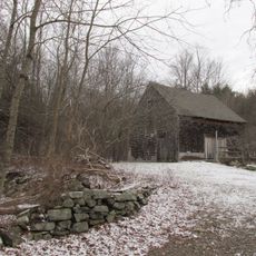
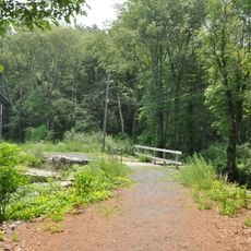
The trail serves as a green corridor connecting rural and suburban areas where locals and visitors experience woodlands and open spaces together. Walking here gives a sense of how communities in the region value access to nature and outdoor recreation.
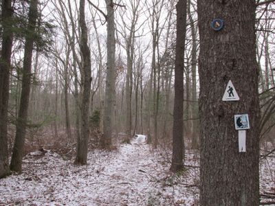
The route is marked with white rectangular signs and metal disks to help hikers navigate through the terrain safely. Multiple access points let visitors start at different sections and adjust their hike based on available time and physical ability.
The route covers a significant elevation change of more than 460 meters between its lowest and highest points, making it geographically varied. This elevation variation creates different landscapes and viewpoints that hikers encounter along the way.
The community of curious travelers
AroundUs brings together thousands of curated places, local tips, and hidden gems, enriched daily by 60,000 contributors worldwide.