West Virginia's 2nd congressional district, Congressional district in northern West Virginia, United States.
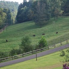
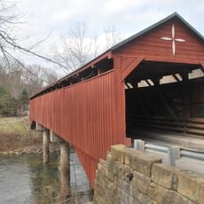
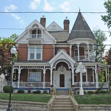
West Virginia's 2nd congressional district covers twenty-seven counties across the northern half of the state, including Berkeley, Jefferson, and Wood. The region spans varied topography with mountains and river valleys cutting through the landscape.
The district took its current form following the 2020 census, when significant boundary changes reshaped representation in the region. These adjustments reflected population shifts across northern West Virginia communities.
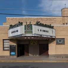
The northern counties within the district maintain strong connections to manufacturing heritage, with numerous industrial facilities continuing operations throughout the region.
Residents can verify their congressional representation through the West Virginia Secretary of State website or by contacting their county clerk's office. Polling location information and details about local representatives are readily available through these official sources.
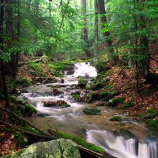
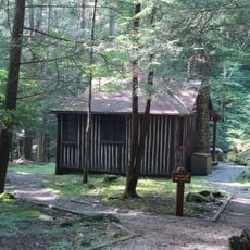
The region contains both the state's highest point at Spruce Knob and its lowest elevation along the Potomac River valley. This geographic contrast creates dramatic differences in landscapes and climates across the district.
The community of curious travelers
AroundUs brings together thousands of curated places, local tips, and hidden gems, enriched daily by 60,000 contributors worldwide.