Wright Peak, Mountain summit in Adirondacks, United States
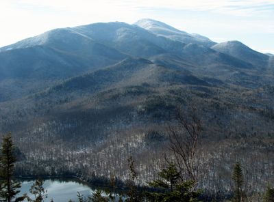
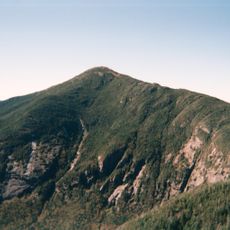
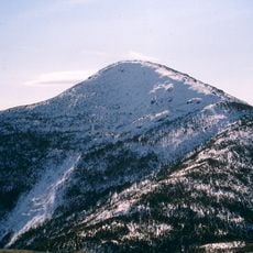
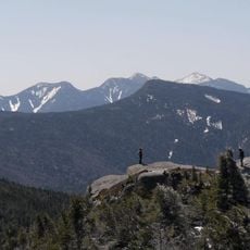
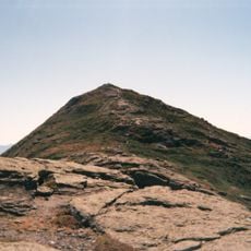
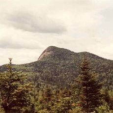
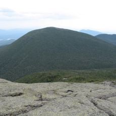
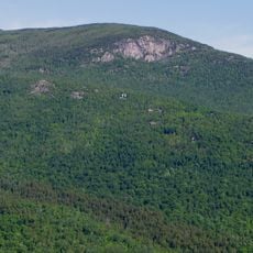
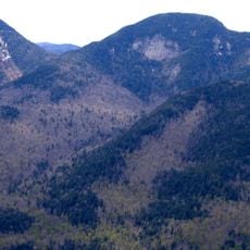
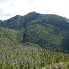
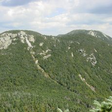
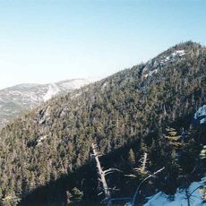
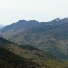
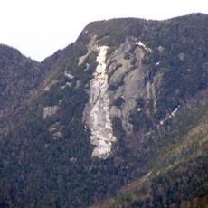
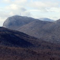
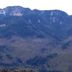
Wright Peak is a mountain summit in the MacIntyre Range of the Adirondacks, in New York State, rising to about 4,580 feet (1,395 m). Above the tree line, the top is open and rocky, with low alpine plants growing in the cracks between exposed stones.
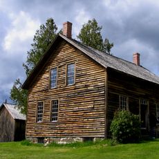
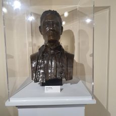
The mountain was named in 1873 by surveyor Verplanck Colvin in honor of Silas Wright, a former New York governor and senator. The naming was part of a broad survey of the Adirondack region that Colvin led over several decades.
Wright Peak is part of the ADK 46ers list, a challenge where hikers aim to climb all 46 high peaks of the Adirondacks. Those pursuing this goal often sign summit registers and share the experience as part of a close community of mountain walkers.
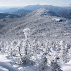
The most common route to the top starts at Adirondak Loj and follows the Van Hoevenberg Trail, a clearly marked path through forest and open ridge. The upper section is exposed, so sturdy footwear and weather-appropriate layers are a good idea no matter the season.
In 1962, a B-47 bomber crashed into the mountain, and pieces of the wreckage are still scattered near the summit. A memorial plaque placed near the crash site honors the four airmen who lost their lives that day, and many hikers pass it without knowing the story behind it.
The community of curious travelers
AroundUs brings together thousands of curated places, local tips, and hidden gems, enriched daily by 60,000 contributors worldwide.