Enable Location

We need your location to show you interesting places around you

Discover nearby places

Find interesting locations and hidden gems around you

Precise directions

Get accurate directions and distances to places

Your location is never shared with other users. It's only used when you tap the location button.

Fort Banks

Log in to your account

Start exploring — it's free

Trusted by 61,421 travelers worldwide

Continue with Google
Continue with Apple
or

We will send you a code to connect

By continuing, you accept our Terms and Conditions and our Privacy Policy

Check your inbox

We've sent a pincode in your inbox. Please enter the code below.

Fort Banks

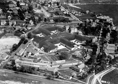
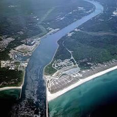
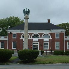
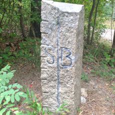
Fort Banks, Coastal artillery fort in Winthrop, Massachusetts, US

Description

Fort Banks is a coastal artillery installation in Winthrop, Massachusetts, featuring four mortar pits designed for large 12-inch coast defense mortars. These guns could fire heavy projectiles across Boston Harbor to protect the city from naval threats.

History

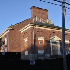
The fort was built in 1891 as part of a major modernization program for American coastal defenses. During World War II, it served as the command center for Boston Harbor's defense before closing in 1947.

Culture

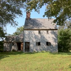
The installation is named after Nathaniel P. Banks, a prominent figure in American politics during the 1800s. Today, the site reflects the military importance it held for Boston's defense.

Practical

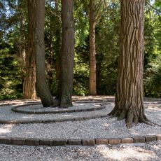
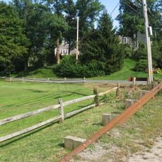
The mortar battery remains open to visitors who want to explore the site and learn about its history. Wear comfortable shoes since the terrain is uneven and there are several elevated areas to navigate around the grounds.

Did you know?

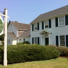
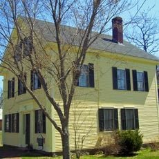
Soldiers who were stationed here called the place The Country Club because of its orderly layout and pleasant conditions for a military base. This nickname reveals how comfortable the living and working environment felt compared to other posts.

Location
GPS coordinates
41.70420,-70.54170
Latest update
December 11, 2025 11:04

AroundUs brings together thousands of curated places, local tips, and hidden gems, enriched daily by 60,000 contributors worldwide. Discover all places nearby (Massachusetts).

Around this place
Cape Cod Canal
United States of America

Cape Cod Canal

7.1 km
Sagamore Bridge
United States of America

Sagamore Bridge

8 km
Bourne Bridge
United States of America

Bourne Bridge

6.3 km
Cape Cod Canal Railroad Bridge
United States of America

Cape Cod Canal Railroad Bridge

7.3 km
Scusset Beach State Reservation
United States of America

Scusset Beach State Reservation

9 km
Heritage Museums and Gardens
United States of America

Heritage Museums and Gardens

5.7 km
Sandwich Glass Museum
United States of America

Sandwich Glass Museum

7 km
Hoxie House
United States of America

Hoxie House

6.7 km
Massachusetts National Cemetery
United States of America

Massachusetts National Cemetery

4.9 km
Wing Fort House
United States of America

Wing Fort House

8.2 km
Shawme-Crowell State Forest
United States of America

Shawme-Crowell State Forest

6.3 km
Pine Hill
United States of America

Pine Hill

2 km
Lowell Holly Reservation
United States of America

Lowell Holly Reservation

6.8 km
Doran Park
United States of America

Doran Park

5.4 km
First Church, Sandwich Massachusetts
United States of America

First Church, Sandwich Massachusetts

6.9 km
Mashpee Wampanoag Indian Museum
United States of America

Mashpee Wampanoag Indian Museum

7.6 km
Jonathan Bourne Public Library
United States of America

Jonathan Bourne Public Library

6.3 km
Bourne Town Hall
United States of America

Bourne Town Hall

7 km
North Falmouth Village Historic District
United States of America

North Falmouth Village Historic District

9 km
Jarvesville Historic District
United States of America

Jarvesville Historic District

7.3 km
John and Mary Waterman Jarves House
United States of America

John and Mary Waterman Jarves House

7.1 km
Avant House
United States of America

Avant House

7.6 km
Town Boundary Marker
United States of America

Town Boundary Marker

9 km
George I. Briggs House
United States of America

George I. Briggs House

6.3 km
Spring Hill Historic District (Sandwich, Massachusetts)
United States of America

Spring Hill Historic District (Sandwich, Massachusetts)

7.5 km
Town Hall Square Historic District
United States of America

Town Hall Square Historic District

6.9 km
Old Bourne High School building
United States of America

Old Bourne High School building

6.1 km
Cataumet Schoolhouse
United States of America

Cataumet Schoolhouse

6.7 km
Show the full map
« Fort Banks - Coastal artillery fort in Winthrop, Massachusetts, US » is provided by Around Us (aroundus.com). Images and texts are derived from Wikimedia project under a Creative Commons license. You are allowed to copy, distribute, and modify copies of this page, under the conditions set by the license, as long as this note is clearly visible.

Discover hidden gems everywhere you go!

From secret cafés to breathtaking viewpoints, skip the crowded tourist spots and find places that match your style. Our app makes it easy with voice search, smart filtering, route optimization, and insider tips from travelers worldwide. Download now for the complete mobile experience.

Around Us App Screenshot

A unique approach to discovering new places

Le Figaro

All the places worth exploring

France Info

A tailor-made excursion in just a few clicks

20 Minutes

Around Us
Travel Guide & Maps
Download

Send to your phone

QR Code
1

Open the camera app on your mobile.

2

Point at the QR code with your camera. A notification will appear.

3

Tap the notification to open the link.