Wanaque Reservoir, New Jersey reservoir
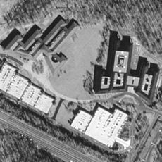
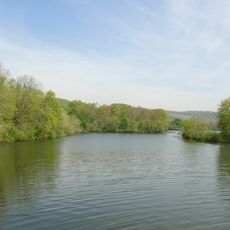
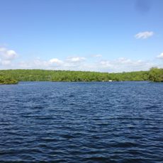
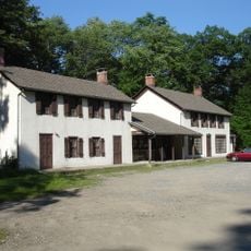
Wanaque Reservoir is a drinking water storage facility in northeastern Passaic County, New Jersey, formed by a series of earth and concrete dams. The largest of these, Raymond Dam, curves across the valley and is flanked by pump stations and administrative buildings that are still in use today.
Work on the dam system began in 1920 and the main facility became operational in 1930. The project brought reliable drinking water for the first time to cities including Newark, Kearny, and Passaic.
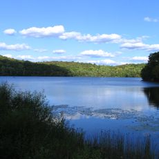
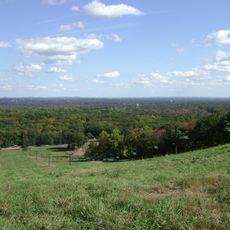
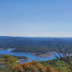
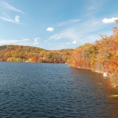
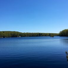
The reservoir is known locally as a place that made the growth of many towns possible. Today, people come to walk along the dams and take in the open water views.
The area along the dams is good for a quiet walk, especially in clear weather when the water is easy to see. Swimming and boating are not allowed, so most visitors come simply to observe and walk around.
During severe droughts, the water level drops far enough to expose the floor of the reservoir, revealing cracked dry ground and an unusual landscape. These rare moments make visible just how much water normally sits hidden below the surface.
The community of curious travelers
AroundUs brings together thousands of curated places, local tips, and hidden gems, enriched daily by 60,000 contributors worldwide.