Norvin Green State Forest, Protected wilderness forest in Bloomingdale, United States
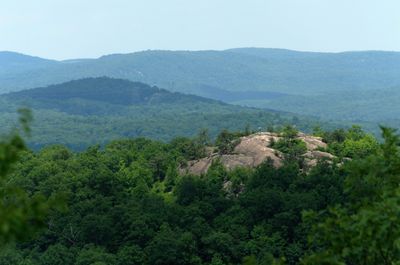
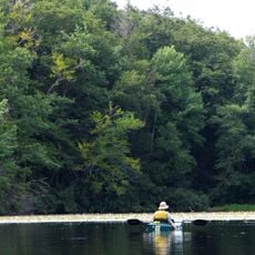
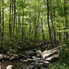
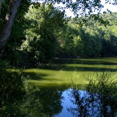
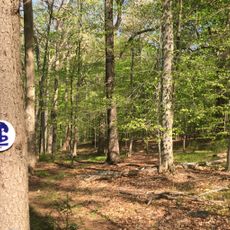
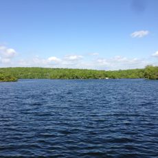
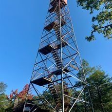
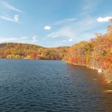
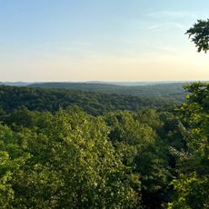
Norvin Green State Forest is a protected woodland in the Highlands region of northern New Jersey, covering a large stretch of hilly, rocky terrain. A network of marked trails winds through mixed forest, crossing ridges and passing small streams throughout the area.
The area was set aside as a state forest in 1946 by the New Jersey Division of Parks and Forestry, after years of logging activity in the region. The old logging roads left behind were gradually turned into the trail network that hikers use today.
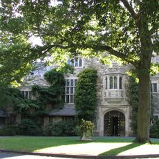
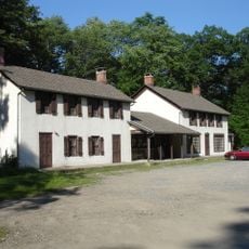
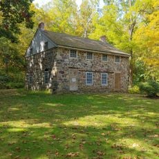
The forest borders the New Weis Center, an outdoor education facility that uses the surrounding woodland as a living classroom. Visitors who walk the trails are often sharing the paths with school groups learning about the local environment firsthand.
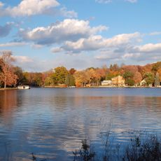
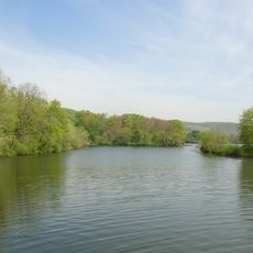
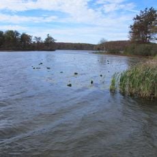
The forest is only accessible on foot, and the terrain can be uneven and slippery depending on the season, so sturdy footwear is a good idea. Anyone planning to fish in the designated waters within the protected area needs a valid New Jersey fishing license.
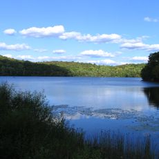
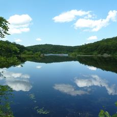
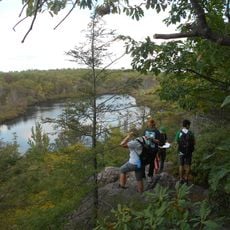
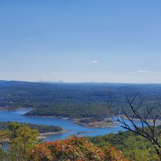
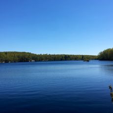
From the highest ridges on a clear day, you can spot the Manhattan skyline rising in the distance while standing deep in the forest. The same vantage points also offer a view over the Wanaque Reservoir far below, making the contrast between city, forest and water surprisingly sharp.
The community of curious travelers
AroundUs brings together thousands of curated places, local tips, and hidden gems, enriched daily by 60,000 contributors worldwide.