Enable Location

We need your location to show you interesting places around you

Discover nearby places

Find interesting locations and hidden gems around you

Precise directions

Get accurate directions and distances to places

Your location is never shared with other users. It's only used when you tap the location button.

Wawayanda State Park

Log in to your account

Start exploring — it's free

Trusted by 62,420 travelers worldwide

Continue with Google
Continue with Apple
or

We will send you a code to connect

By continuing, you accept our Terms and Conditions and our Privacy Policy

Check your inbox

We've sent a pincode in your inbox. Please enter the code below.

Wawayanda State Park

Wawayanda State Park, Protected natural area in Jefferson Township, New Jersey.

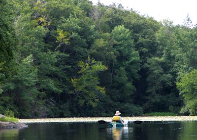
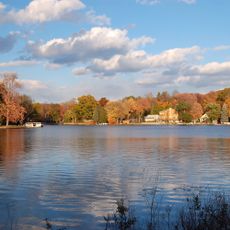
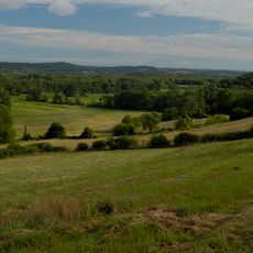
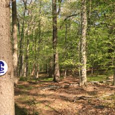
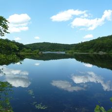
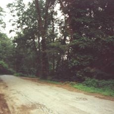
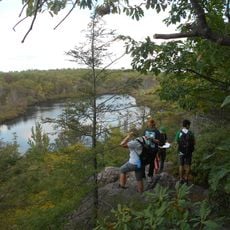
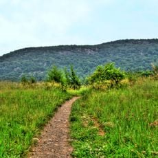
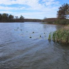
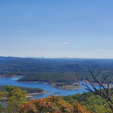
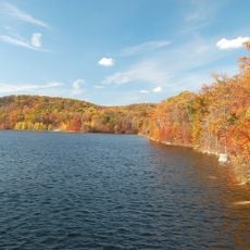
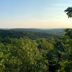
Wawayanda State Park is a large protected natural area in the northern New Jersey highlands with multiple lakes, wetland areas, and dense forests. The park features more than 60 miles of marked hiking trails that wind through varied terrain and different ecosystems.

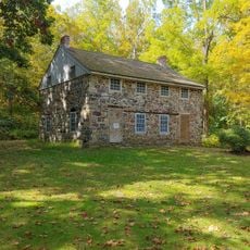
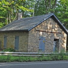
Lenape peoples inhabited this region for centuries before European settlement transformed the land. Artifacts and sites throughout the park preserve traces of their long presence here.

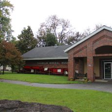
The park serves as an educational center where rangers conduct programs about local flora, fauna, and geological formations from the last Ice Age.

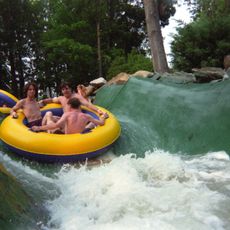
The park has multiple parking areas and restroom facilities spread throughout for visitor convenience. Swimming is allowed only when lifeguards are on duty at the main lake.

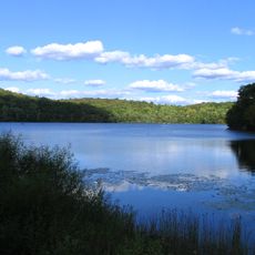
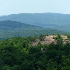
The Bearfort Mountain Natural Area contains a high-elevation pond ringed by rare Atlantic white cedar wetlands. These special marshes with their distinctive plants and wet conditions are uncommon in New Jersey.

The community of curious travelers

AroundUs brings together thousands of curated places, local tips, and hidden gems, enriched daily by 60,000 contributors worldwide.

Start exploring
Operator
New Jersey Department of Environmental Protection - Division of Parks and Forestry
GPS coordinates
41.16602,-74.42598
Latest update
December 8, 2025 19:58
Around this place
Action Park
United States of America

Action Park

7.4 km
Greenwood Lake
United States of America

Greenwood Lake

8.2 km
Ringwood State Park
United States of America

Ringwood State Park

14.6 km
Wallkill River National Wildlife Refuge
United States of America

Wallkill River National Wildlife Refuge

12.8 km
United States of America

Wanaque Reservoir

15.6 km
Norvin Green State Forest
United States of America

Norvin Green State Forest

13.7 km
Patriots' Path
United States of America

Patriots' Path

16.7 km
Apshawa Preserve
United States of America

Apshawa Preserve

16.2 km
Pochuck Mountain
United States of America

Pochuck Mountain

10.1 km
Abram S. Hewitt State Forest
United States of America

Abram S. Hewitt State Forest

8.2 km
Wawayanda Mountain
United States of America

Wawayanda Mountain

4.4 km
Warwick Village Historic District
United States of America

Warwick Village Historic District

11.5 km
High Breeze Farm
United States of America

High Breeze Farm

5.9 km
General John Hathorn Stone House
United States of America

General John Hathorn Stone House

10 km
The Boulders
United States of America

The Boulders

9.8 km
Bethany Chapel
United States of America

Bethany Chapel

12.6 km
Sterling Mountain Fire Observation Tower and Observer's Cabin
United States of America

Sterling Mountain Fire Observation Tower and Observer's Cabin

12.8 km
Lawrence Mansion
United States of America

Lawrence Mansion

13.6 km
Crescent Theatre
United States of America

Crescent Theatre

16 km
Jeremiah Morehouse House
United States of America

Jeremiah Morehouse House

10.1 km
Wawayanda Lake
United States of America

Wawayanda Lake

1.8 km
Franklin Mineral Museum Inc
United States of America

Franklin Mineral Museum Inc

14.8 km
Long Pond Ironworks State Park
United States of America

Long Pond Ironworks State Park

10.2 km
Wyanokie High Point
United States of America

Wyanokie High Point

14.3 km
Monksville Reservoir
United States of America

Monksville Reservoir

11.6 km
Long Pond Ironworks
United States of America

Long Pond Ironworks

10.2 km
Old Monroe School House
United States of America

Old Monroe School House

18.2 km
Torne Mountain
United States of America

Torne Mountain

14.8 km
Show the full map
« Wawayanda State Park - Protected natural area in Jefferson Township, New Jersey » is provided by Around Us (aroundus.com). Images and texts are derived from Wikimedia project under a Creative Commons license. You are allowed to copy, distribute, and modify copies of this page, under the conditions set by the license, as long as this note is clearly visible.

Discover hidden gems everywhere you go!

From secret cafés to breathtaking viewpoints, skip the crowded tourist spots and find places that match your style. Our app makes it easy with voice search, smart filtering, route optimization, and insider tips from travelers worldwide. Download now for the complete mobile experience.

Around Us App Screenshot

A unique approach to discovering new places

Le Figaro

All the places worth exploring

France Info

A tailor-made excursion in just a few clicks

20 Minutes

Around Us
Travel Guide & Maps
Download

Send to your phone

QR Code
1

Open the camera app on your mobile.

2

Point at the QR code with your camera. A notification will appear.

3

Tap the notification to open the link.