Grand Island National Recreation Area, National Recreation Area in Michigan, United States
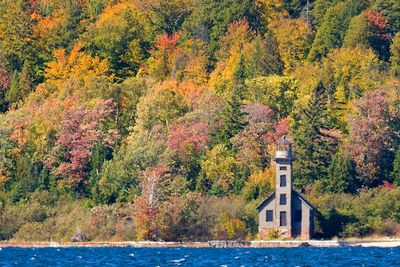
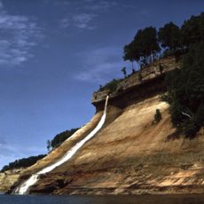
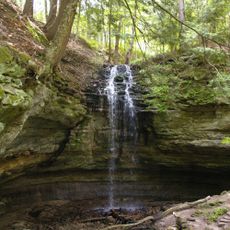
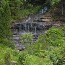
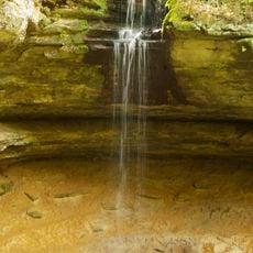
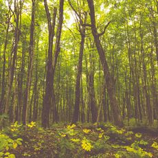
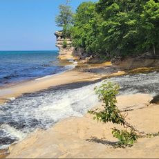
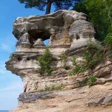
Grand Island is a national recreation area in Michigan covering extensive woodland with dramatic Lake Superior shoreline featuring high sandstone bluffs and sand beaches. The island contains hiking trails, camping areas, and forest zones that visitors can explore on foot or by boat.
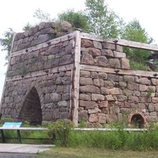
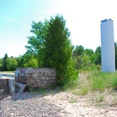
Native communities lived on the island around 3,300 years ago, sustaining themselves through fishing in Lake Superior waters. In the 1800s industrial mining operations extracted iron ore, and the land became a public recreation area in 1990.
Native American communities shaped the island's identity through centuries of settlement and subsistence fishing in these waters. That heritage of living closely with the land remains visible in how people interact with the environment today.
Access to the island is only by passenger ferry from the town of Munising, which runs several times daily in summer. Plan to arrive early for the best choice of trails and spots, and bring layers since weather on the water can change quickly.
An annual trail marathon runs each July across the island's perimeter route along the Lake Superior shore, attracting runners who challenge themselves on this remote course. Few visitors realize this event takes place or how intensely people use the trails during this time.
The community of curious travelers
AroundUs brings together thousands of curated places, local tips, and hidden gems, enriched daily by 60,000 contributors worldwide.