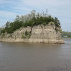
Fountain Bluff, Natural cliff formation in Jackson County, Illinois.
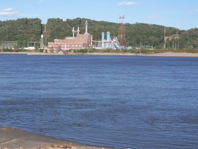
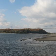
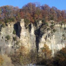
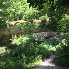
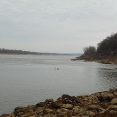
Fountain Bluff is a range of hills featuring sandstone cliffs that rise approximately 240 meters (779 feet) along the eastern bank of the Mississippi River. The formation displays layers of different rock types that have been exposed through the river's erosion over thousands of years.
Native American communities carved rock art into the cliffs between 1000 and 1250 AD, artwork that remained hidden until volunteers discovered it in 1953. This ancient presence reveals a long human connection to this location.
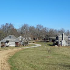
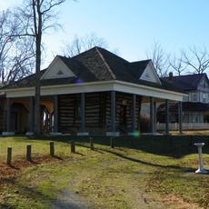
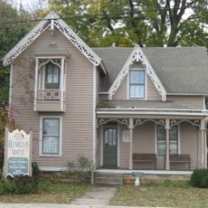
German immigrants established settlements here in the 1800s, drawn to the natural springs and limestone formations that shaped their daily life. The communities that formed left visible marks on how people lived and worked in this landscape.
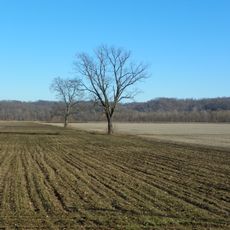
Visitors can find several natural springs scattered across the area, with a major water source located in the northern section. Access to the cliffs is easiest from nearby parking areas or the closest residential areas.
The rock layers here display an unusual combination of Upper Chesterian limestone and Lower Pennsylvanian sandstone, revealed through Mississippi River erosion. This geological mix is uncommon for the region and tells the story of millions of years of geological processes.
The community of curious travelers
AroundUs brings together thousands of curated places, local tips, and hidden gems, enriched daily by 60,000 contributors worldwide.