Enable Location

We need your location to show you interesting places around you

Discover nearby places

Find interesting locations and hidden gems around you

Precise directions

Get accurate directions and distances to places

Your location is never shared with other users. It's only used when you tap the location button.

Jackson County

Log in to your account

Start exploring — it's free

Trusted by 61,940 travelers worldwide

Continue with Google
Continue with Apple
or

We will send you a code to connect

By continuing, you accept our Terms and Conditions and our Privacy Policy

Check your inbox

We've sent a pincode in your inbox. Please enter the code below.

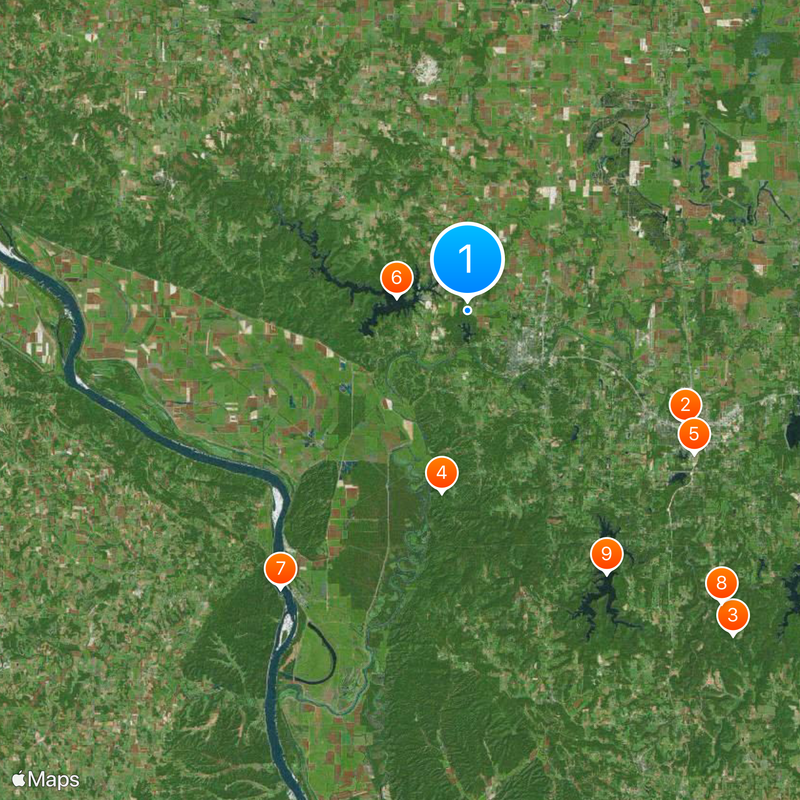
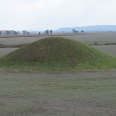
Jackson County, Administrative division in southern Illinois, United States.

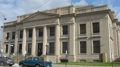
Jackson County is an administrative division in southern Illinois that includes several communities and rural areas spread across the region. Murphysboro functions as its county seat and serves as the main hub for local government and services.

The county was established in 1816 during the early organizational period of Illinois. Its creation helped structure government services across the southern part of the state as settlement expanded westward.

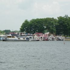
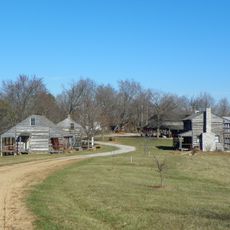
Multiple communities within Jackson County maintain their individual identities while contributing to the broader social structure of southern Illinois.

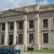
Visitors can find administrative services and local information at the courthouse in Murphysboro, located where major roads intersect. Several highways and state routes connect the different communities, making it easy to travel through the area.

The county's network of transportation routes includes U.S. Highway 51 and five Illinois State Routes connecting different communities across the region.

The community of curious travelers

AroundUs brings together thousands of curated places, local tips, and hidden gems, enriched daily by 60,000 contributors worldwide.

Start exploring
Location
Inception
January 10, 1816
Capital city
Murphysboro
Shares border with
Perry County, Union County, Williamson County, Randolph County, Franklin County
GPS coordinates
37.79000,-89.38000
Latest update
December 20, 2025 15:59
Around this place
R. Buckminster Fuller and Anne Hewlett Dome Home
United States of America

R. Buckminster Fuller and Anne Hewlett Dome Home

15.6 km
Giant City State Park
United States of America

Giant City State Park

26.6 km
Little Grand Canyon
United States of America

Little Grand Canyon

11.6 km
Saluki Stadium
United States of America

Saluki Stadium

17 km
Kinkaid Lake
United States of America

Kinkaid Lake

4.6 km
Tower Rock
United States of America

Tower Rock

21.2 km
Giant City Stone Fort Site
United States of America

Giant City Stone Fort Site

24.6 km
United States of America

Cedar Lake

18.9 km
Shryock Auditorium
United States of America

Shryock Auditorium

16.5 km
Grand Tower Pipeline Bridge
United States of America

Grand Tower Pipeline Bridge

20.5 km
Clear Springs Wilderness
United States of America

Clear Springs Wilderness

23.2 km
Piney Creek Ravine State Natural Area
United States of America

Piney Creek Ravine State Natural Area

25.7 km
Faner Hall
United States of America

Faner Hall

16.4 km
Saxon Lutheran Memorial
United States of America

Saxon Lutheran Memorial

26.2 km
United States of America

Kinkaid Lake State Fish and Wildlife Area

6.6 km
Concordia Lutheran Church
United States of America

Concordia Lutheran Church

26.8 km
Cleiman Mound and Village Site
United States of America

Cleiman Mound and Village Site

13.6 km
Pomona Natural Bridge
United States of America

Pomona Natural Bridge

16.1 km
Fountain Bluff
United States of America

Fountain Bluff

16.5 km
Trinity Lutheran Church
United States of America

Trinity Lutheran Church

26.8 km
Altgeld Hall
United States of America

Altgeld Hall

16.4 km
Immanuel Lutheran Church
United States of America

Immanuel Lutheran Church

26.8 km
Jackson County Courthouse
United States of America

Jackson County Courthouse

4.9 km
Concordia Log Cabin College
United States of America

Concordia Log Cabin College

26.6 km
Woodlawn Cemetery
United States of America

Woodlawn Cemetery

16.5 km
Red Rock Landing Conservation Area, Perry County, Missouri
United States of America

Red Rock Landing Conservation Area, Perry County, Missouri

25.9 km
Brazeau Presbyterian Church
United States of America

Brazeau Presbyterian Church

28 km
Tegtmeyer Site
United States of America

Tegtmeyer Site

25.6 km
Show the full map
« Jackson County - Administrative division in southern Illinois, United States » is provided by Around Us (aroundus.com). Images and texts are derived from Wikimedia project under a Creative Commons license. You are allowed to copy, distribute, and modify copies of this page, under the conditions set by the license, as long as this note is clearly visible.

Discover hidden gems everywhere you go!

From secret cafés to breathtaking viewpoints, skip the crowded tourist spots and find places that match your style. Our app makes it easy with voice search, smart filtering, route optimization, and insider tips from travelers worldwide. Download now for the complete mobile experience.

Around Us App Screenshot

A unique approach to discovering new places

Le Figaro

All the places worth exploring

France Info

A tailor-made excursion in just a few clicks

20 Minutes

Around Us
Travel Guide & Maps
Download

Send to your phone

QR Code
1

Open the camera app on your mobile.

2

Point at the QR code with your camera. A notification will appear.

3

Tap the notification to open the link.