
Little Larch Mountain, summit in Thurston County, Washington state, United States of America
Location: Thurston County
Elevation above the sea: 342 m
Part of: Capitol State Forest
GPS coordinates: 46.95694,-123.11528
Latest update: May 29, 2025 06:53

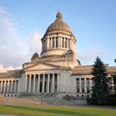
Washington State Capitol
18.2 km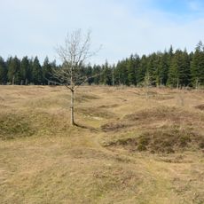
Mima Mounds
8.2 km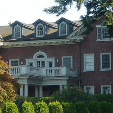
Washington Governor's Mansion
18.1 km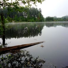
Millersylvania State Park
16.2 km
Capitol State Forest
4.5 km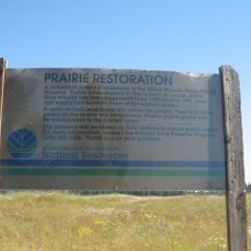
Mima Mounds Natural Area Preserve
8.3 km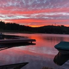
Summit Lake
11 km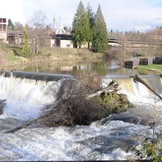
Tumwater Falls
17.2 km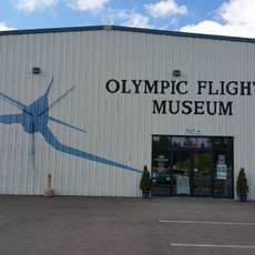
Olympic Flight Museum
16.7 km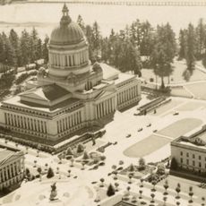
Temple of Justice
18.3 km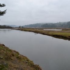
Kennedy Creek Natural Area Preserve
15.7 km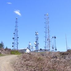
Capitol Peak
2.5 km
Miller–Brewer House
16.6 km
Joel M. Pritchard Building
18.2 km
Scatter Creek Unit
16.1 km
Washington State Capitol Conservatory
18.4 km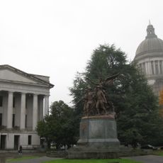
Insurance Building (Olympia, Washington)
18.2 km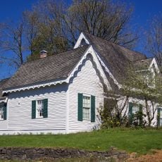
Crosby House
17.4 km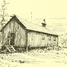
Mud Bay Indian Shaker Church
13.7 km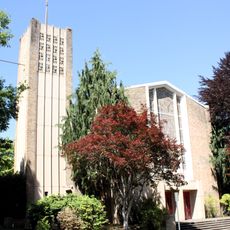
St. John's Episcopal Church
18.3 km
Heritage Park
18.6 km
Thurston County Courthouse
18.7 km
Du Pen Fountain
18.2 km
Tumwater Methodist Church
17.1 km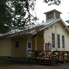
Gate School
13.3 km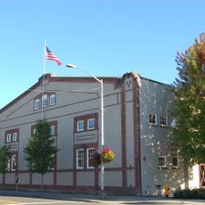
American Legion Hall
18.8 km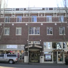
Elks Building
18.9 km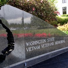
Vietnam Veterans Memorial
18.4 kmReviews
Visited this place? Tap the stars to rate it and share your experience / photos with the community! Try now! You can cancel it anytime.
Discover hidden gems everywhere you go!
From secret cafés to breathtaking viewpoints, skip the crowded tourist spots and find places that match your style. Our app makes it easy with voice search, smart filtering, route optimization, and insider tips from travelers worldwide. Download now for the complete mobile experience.

A unique approach to discovering new places❞
— Le Figaro
All the places worth exploring❞
— France Info
A tailor-made excursion in just a few clicks❞
— 20 Minutes