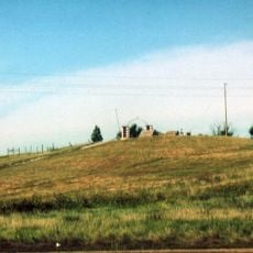
Cedar Bluffs, cliff in Oglala Lakota County, Pine Ridge Indian Reservation, United States of America
Location: Oglala Lakota County
GPS coordinates: 43.29667,-102.91444
Latest update: October 27, 2025 11:54
Wounded Knee National Historic Landmark
47.8 km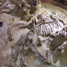
Mammoth Site, Hot Springs
48.2 km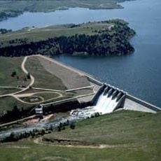
Angostura Reservoir
42.1 km
Bordeaux Trading Post
52.7 km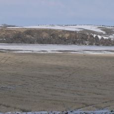
Camp Sheridan
51.4 km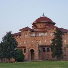
Battle Mountain Sanitarium
48.3 km
Angostura Dam
42.6 km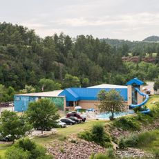
Evans Plunge
48.6 km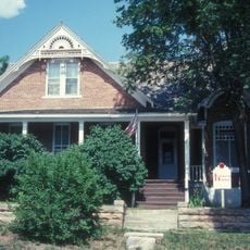
Governor Leslie Jensen House
47.3 km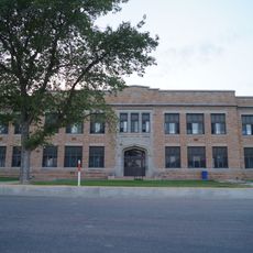
Hot Springs High School
48.2 km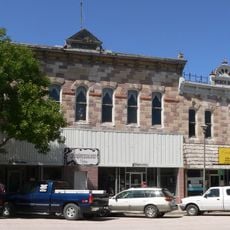
Chadron Commercial Historic District
52.3 km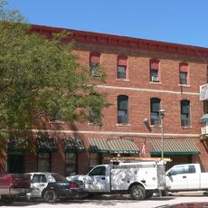
Hotel Chadron
52.2 km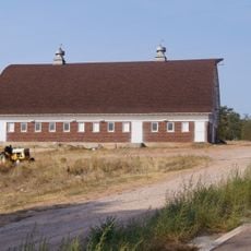
State Soldiers Home Barn
49.6 km
Miller Hall
48.7 km
Chadron Public Library
52.8 km
Edna Work Hall
53.5 km
Wounded Knee cemetery
47.8 km
Phillip Wesch House
49.1 km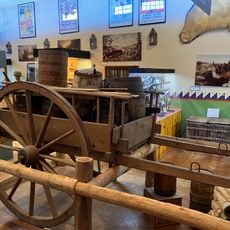
Museum of the Fur Trade
52.7 km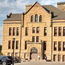
Pioneer Museum
48 km
White River Visitor Center
41.4 km
Red Cloud Heritage Center
36.1 km
Petroglyphs
52.4 km
Cowboy Artwork
29.2 km
Statue, Work of art
49.4 km
Work of art
47.9 km
Red Shirt Table Overlook
28.9 km
Scenic viewpoint
42.3 kmReviews
Visited this place? Tap the stars to rate it and share your experience / photos with the community! Try now! You can cancel it anytime.
Discover hidden gems everywhere you go!
From secret cafés to breathtaking viewpoints, skip the crowded tourist spots and find places that match your style. Our app makes it easy with voice search, smart filtering, route optimization, and insider tips from travelers worldwide. Download now for the complete mobile experience.

A unique approach to discovering new places❞
— Le Figaro
All the places worth exploring❞
— France Info
A tailor-made excursion in just a few clicks❞
— 20 Minutes