
Ames Pond, Stausee in den Vereinigten Staaten

Metacomet-Monadnock Trail
6.4 km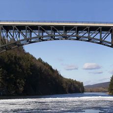
French King Bridge
12.9 km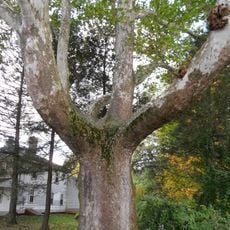
Buttonball Tree
13.6 km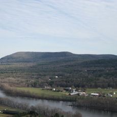
Mount Toby
9.9 km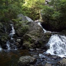
Bear's Den
9 km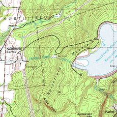
Northfield Mountain
13.4 km
New England Peace Pagoda
6 km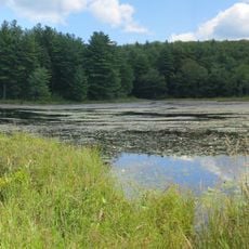
Wendell State Forest
6.5 km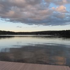
Lake Wyola State Park
1.6 km
Federated Women's Club State Forest
13.5 km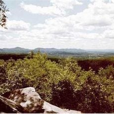
Mount Orient
12.1 km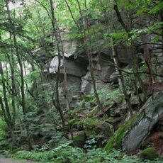
Rattlesnake Gutter
7 km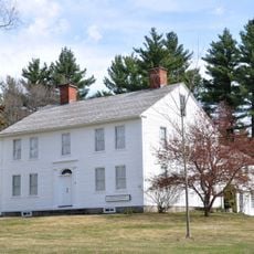
Whitaker-Clary House
9.6 km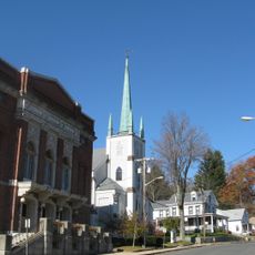
Orange Center Historic District
13.6 km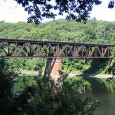
Springfield Terminal railroad bridge, Deerfield
13.4 km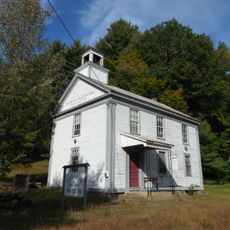
Moore's Corner Historic District
4.1 km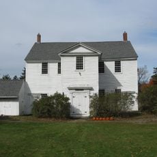
Pelham Town Hall Historic District
11.8 km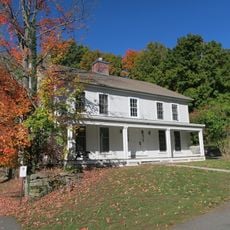
Cushman Village Historic District
11.6 km
New Salem Common Historic District
7.1 km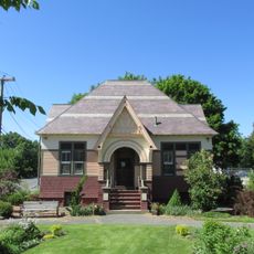
North Amherst Center Historic District
13.5 km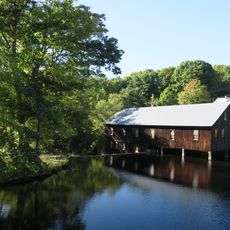
North Leverett, Massachusetts
6.2 km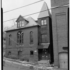
Grand Army of the Republic Hall
13.7 km
Wendell Town Common Historic District
5.9 km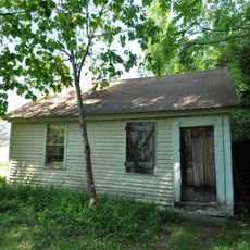
South School
8.8 km
East Leverett Historic District
8.5 km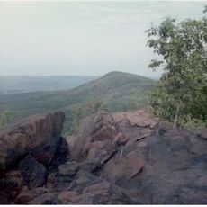
Robert Frost Trail
9.9 km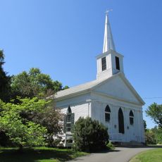
Leverett Center Historic District
8.2 km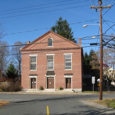
Montague Center Historic District
10.4 kmReviews
Visited this place? Tap the stars to rate it and share your experience / photos with the community! Try now! You can cancel it anytime.
Discover hidden gems everywhere you go!
From secret cafés to breathtaking viewpoints, skip the crowded tourist spots and find places that match your style. Our app makes it easy with voice search, smart filtering, route optimization, and insider tips from travelers worldwide. Download now for the complete mobile experience.

A unique approach to discovering new places❞
— Le Figaro
All the places worth exploring❞
— France Info
A tailor-made excursion in just a few clicks❞
— 20 Minutes