Osoyoos Division Yale Land District, Land district in southern British Columbia, Canada.
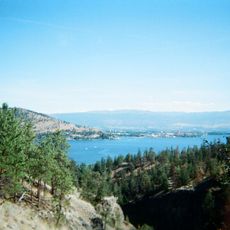
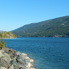
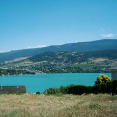
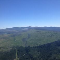
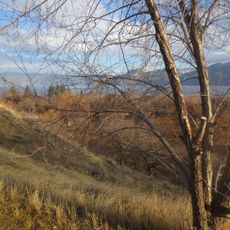
The Osoyoos Division Yale Land District is an administrative region in southern British Columbia that covers both fertile valleys and drier areas between the Kamloops Division and the Kootenay Land District. It serves as a key geographic and legal reference for land management and property records throughout this part of the province.
The district was created in 1860 under the Lands Act during the Colony of British Columbia period as one of four administrative divisions of the Yale Land District. It emerged as part of the early effort to organize land distribution across the newly formed British colony.
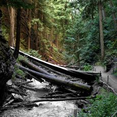
First Nations communities have lived in this territory for generations, leaving behind settlement sites and cultural marks that remain visible in the landscape. Their connection to the land continues to shape how people understand and use this region today.
Visitors can access detailed information about the boundaries and geographic features through the BC Names online mapping system, which provides clear visual reference. This resource helps people understand the location and extent of this administrative region.
This was one of the first administrative districts in British Columbia and helped establish the land system that became a model for the entire province. Its organizational approach influenced how many later districts were designed and structured.
The community of curious travelers
AroundUs brings together thousands of curated places, local tips, and hidden gems, enriched daily by 60,000 contributors worldwide.